The Sundial Bridge in Redding, California crosses the Sacramento River while also providing the correct time one day a year (the Summer Solstice) assuming it's a sunny day (a pretty safe assumption for Redding).
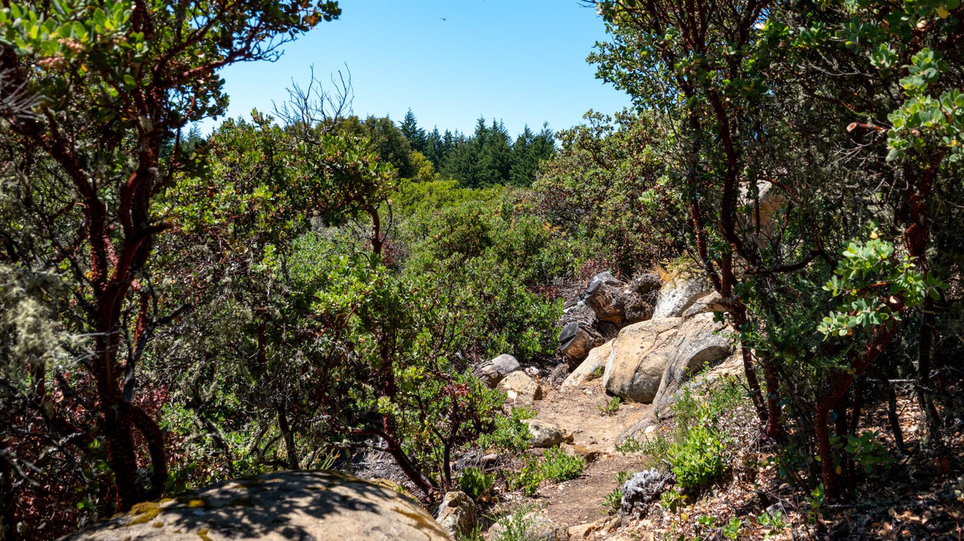
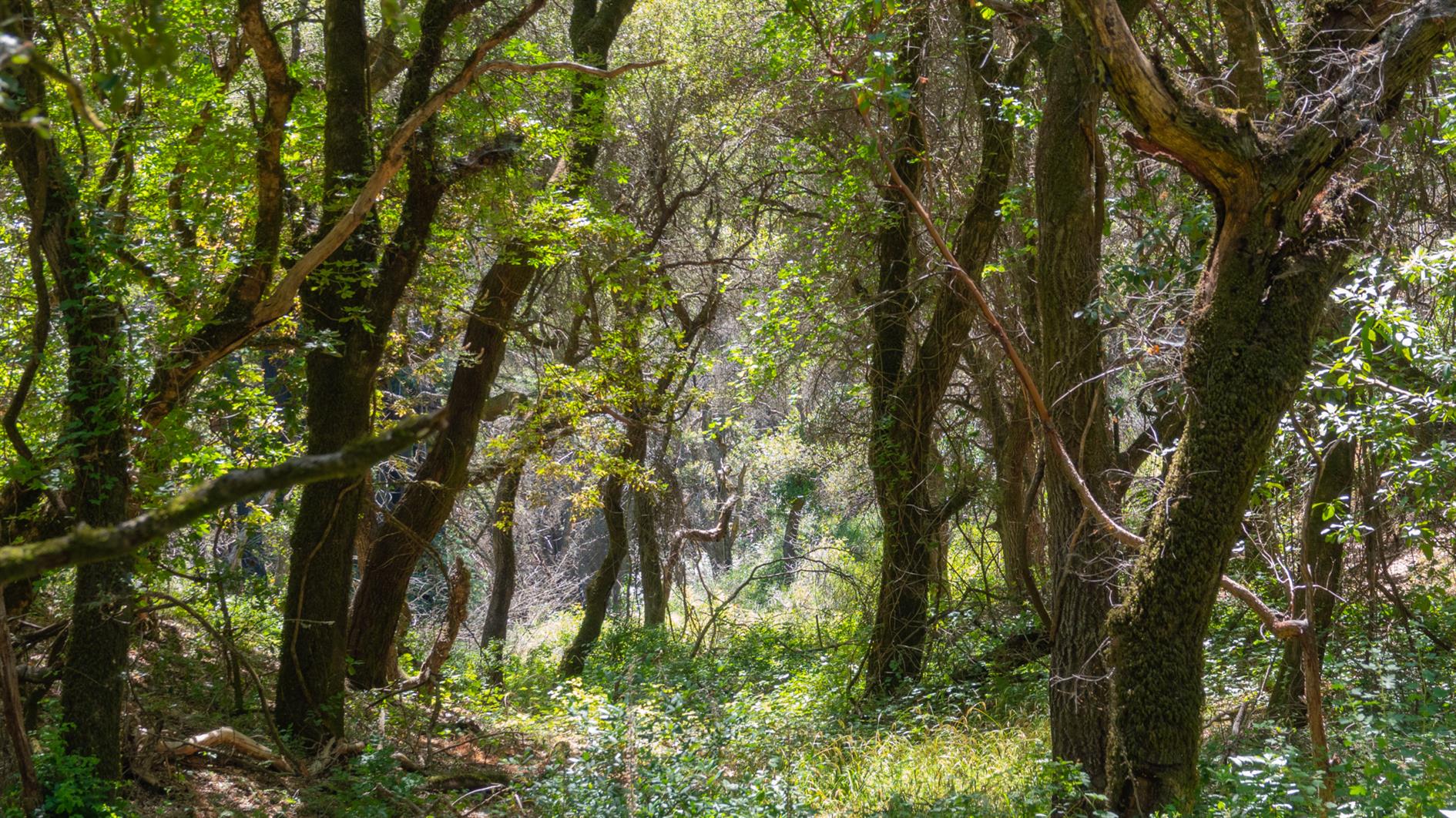
A four mile, 1,400 foot hike into the Santa Cruz Mountains from just above Woodside. The trail is almost entirely under canopy but with a lot of variety and the occasional snatch of a view of the bay as you climb. The Bear Gulch section is very steep in places, if I did this route again I'd try Marker 3 to Marker 11 to see if the descent is more forgiving. Oh, and make sure you have a map or a downloaded route, there are a lot of trails with multiple entrances so it would be pretty easy to get lost here.
(Published to the Fediverse as:
Teague Hill Preserve #hike#map 4 mile hike with 1,400 foot elevation gain in the Santa Cruz Mountains near Woodside, California. Bring a map.)
Catfood Earth has been missing a detailed guide since I shut down the Catfood Software web site. That has been fixed with this somewhat epic post which covers every feature of the Windows and Android versions.
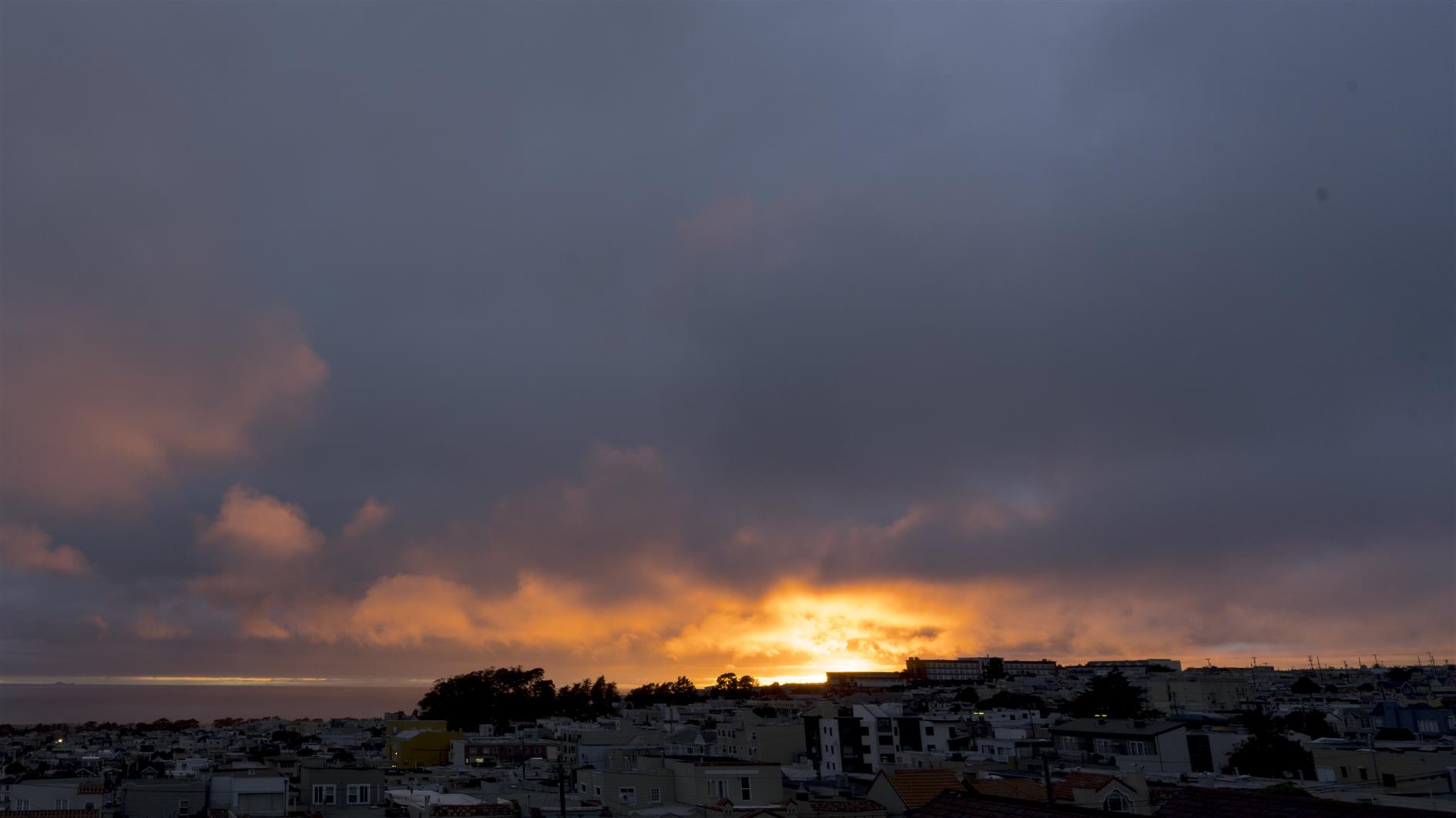
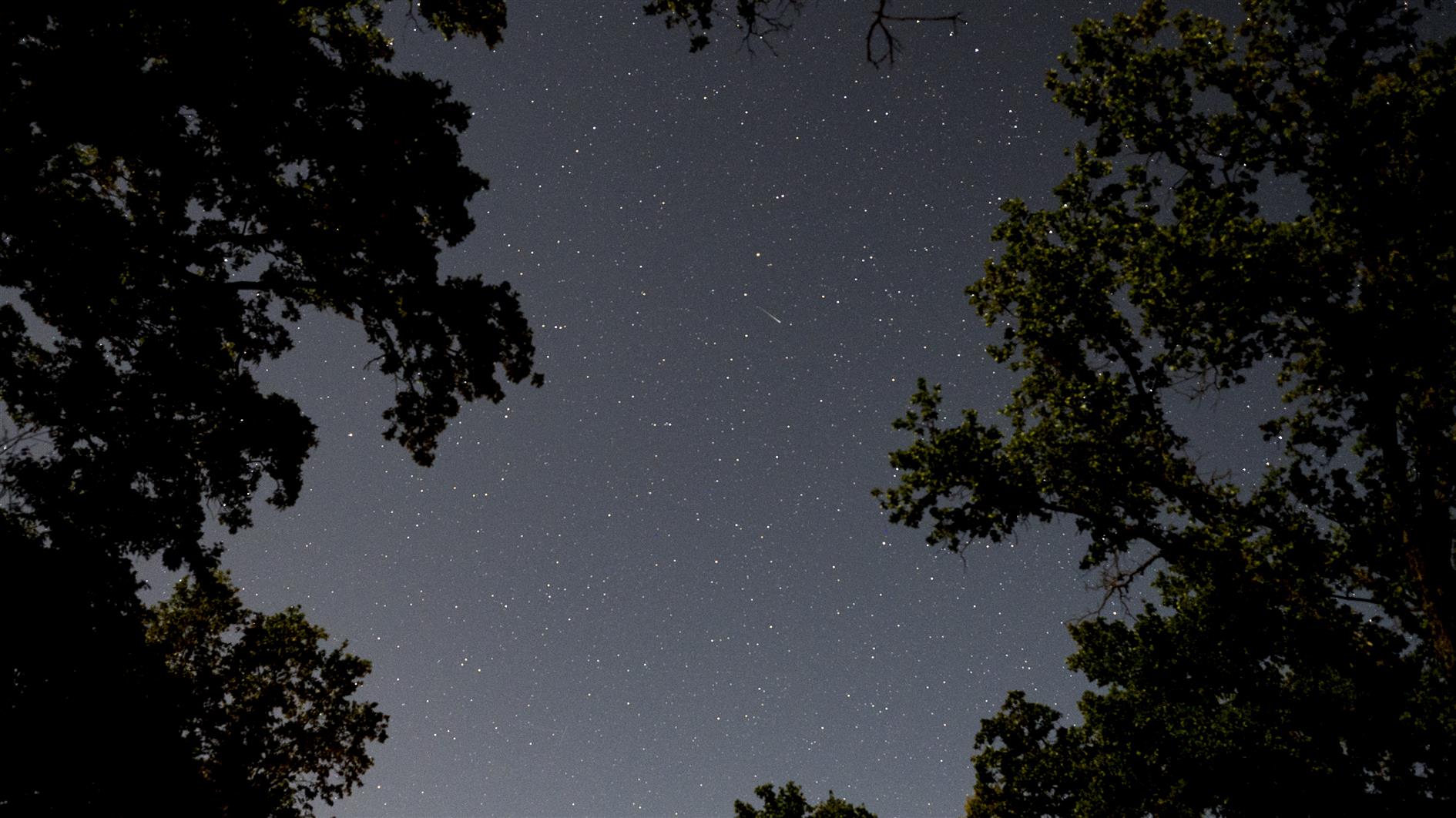
Two new timelapses: stars over Columbia State Historic Park and another sunset. I also started working on a longer term project, it will be a few weeks until I get to see if it's going to work.
Hike posts have been upgraded with route maps and a chart showing elevation profile.
(Published to the Fediverse as:
Sunset #7 #timelapse#sunset#4k#video 4K timelapse of sunset over the Pacific shot from Pacifica and San Francisco, California.)
The video has four sequences shot over two nights. It was a challenging weekend right before the Summer Solstice with a pretty bright moon, but there are some hints of milky way in there. The first and third clips are from a Sony A7C with 20mm f1.8 G lens. The second and fourth are from a GoPro Hero 8 Black which suffered from a few stuck pixels but nice enough overall. Post processed in Lightroom, LRTimelapse, Resolve and Filmstro Pro.
(Published to the Fediverse as:
Stars over Columbia State Historic Park #timelapse#stars#video 4K timelapse video of stars over Columbia State Historic Park in California, shot with Sony A7C and GoPro Hero 8 Black.)
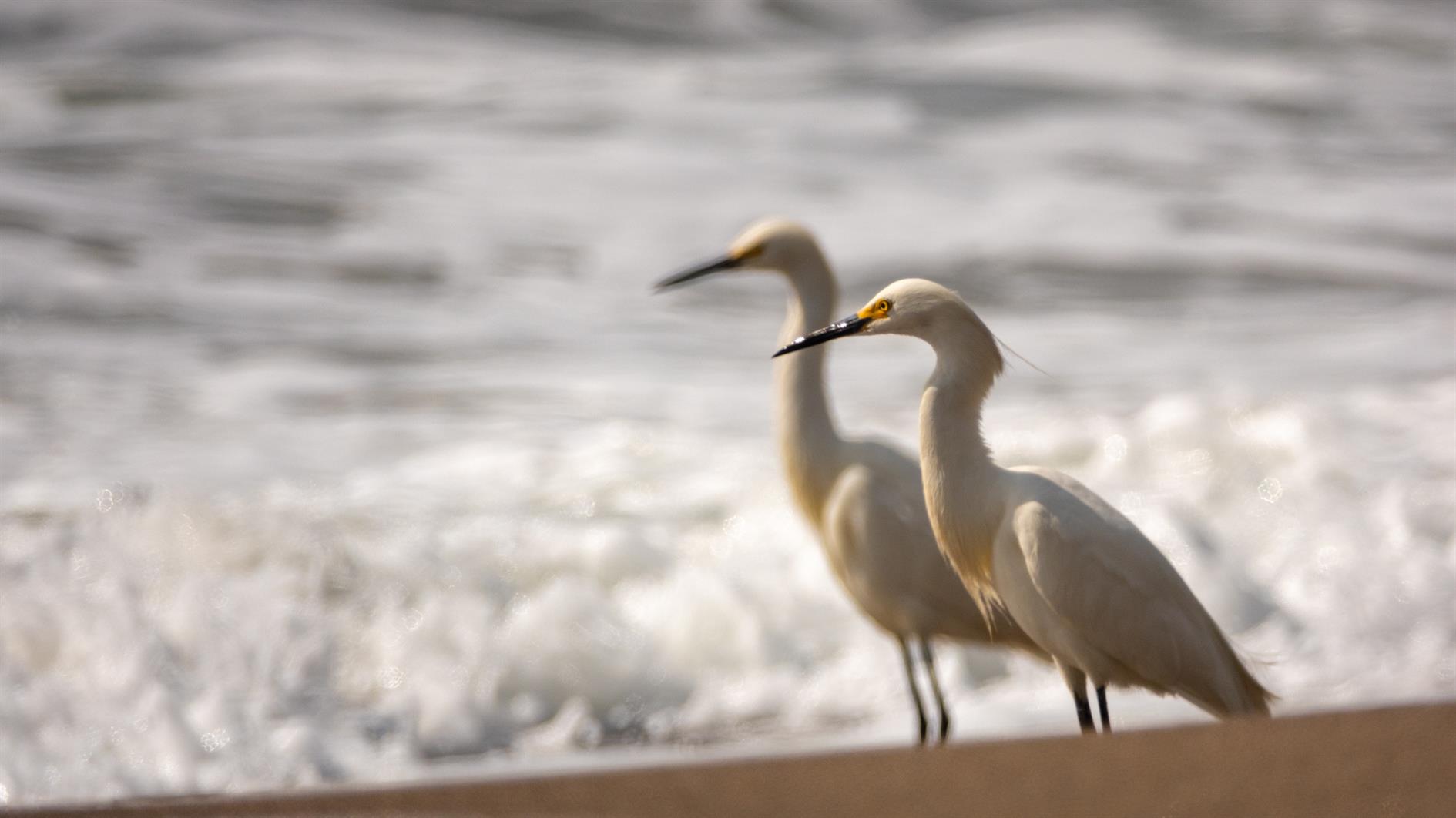
(Published to the Fediverse as:
Snowy Egrets at Marshall's Beach #photo#beach#egret Two Snowy Egrets at the shoreline (Marshall's Beach in San Francisco, California))