Building a Digital Photo Frame
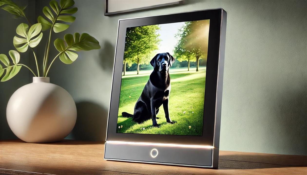
Google recently bricked my digital photo frame, so I set out to build a new one. I did this in two parts - a Raspberry Pi to display the photos, and a C# script to preprocess them. The second part is optional but worth it.
The display side of the project turned out to be way easier than I thought. There is a utility called fbi that will run a slideshow to a HDMI monitor. Create a boot SD card from the lite version of Raspberry PI OS, copy over your photos and then run:
sudo apt-get update
sudo apt-get -y install fbi
You can then connect a monitor and test that images are displaying as expected.
Create a file called launch.sh with the following:
#!/bin/sh
# launch.sh
# run photos
sleep 2m
fbi -T 1 -noverbose -mode 1366x768-30 -t 60 -u -blend 1500 -a /home/rob/photos/*.jpg
-T 1 uses the first display, -noverbose just shows the photos, -mode depends on your monitor and is likely safe to omit, -t 60 changes the image ever sixty seconds, -u displays in a random order, -blend 1500 cross fades for 1.5 seconds between images, -a is auto zoom and the path at the end is where ever you copied your photos to.
The sleep 2m command allows the system to complete booting and bring up the login prompt. Without this the photos might start first and then the login shell ends up on top, which is pretty boring.
Make the script executable (chmod 755 launch.sh) and then edit your crontab:
sudo crontab -e
Add the following:
@reboot sh /home/rob/launch.sh >/home/rob/logs/cronlog 2>&1
30 22 * * * /sbin/shutdown -h now
The first line runs the launch.sh script at startup and sends any output to a log file (adjust paths to your system). The second line will shut down the Pi at 10:30pm every day. I use this so I can control when it's running with a smart plug - the plug turns everything on at 7am and off at 10:45pm, and the shutdown prevents the Pi from getting in a bad state from having power removed unceremoniously. If you want it running all the time just omit this line.
Reboot and you should have a working digital photo frame. Fbi will do a reasonable job with your photos, but I wanted something better.
The C# script below preprocesses all my photos to make the best use of the frame. I'm using an old 1366x768 TV so I want all the photos at that resolution and 16x9 aspect ratio. Many of my photos are 4x3, or 3x4, or 9x16, or something else entirely. I don't want any black borders so cropping will be involved.
Cropping is handled by detecting faces and then trying to keep as many in frame as possible. This uses FaceAiSharp.
Photos are processed in two stages. The first stage just crops horizontal photos to fit the screen. Any vertical photos are saved in a list, and then paired using image embeddings (CLIP using this code). My implementation pairs the most similar photos - it would be easy to do the most different as well.
Here's the code. I run this with C# 9 in VSCode on Windows. You'll probably want to change the input and output folders, and possibly the output resolution as well:
Related Posts
- Style Transfer for Time Lapse Photography
- Fastest image merge (alpha blend) in GDI+
- Predicting when fog will flow through the Golden Gate using ML.NET
- Long term solar powered time lapse camera using Arduino
- Capture DropCam (Nest Cam) frames to Google Drive
(Published to the Fediverse as: Building a Digital Photo Frame #code #c# #raspberrypi #ai #ml How to create a Raspberry Pi based digital photo frame with face aware cropping and AI image pairing. )