Sugarloaf Stars and Milky Way

Updated on Saturday, February 19, 2022

Sugarloaf Stars and Milky Way

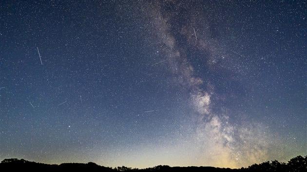
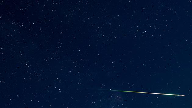
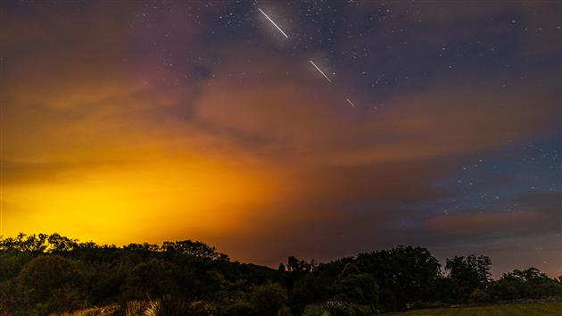
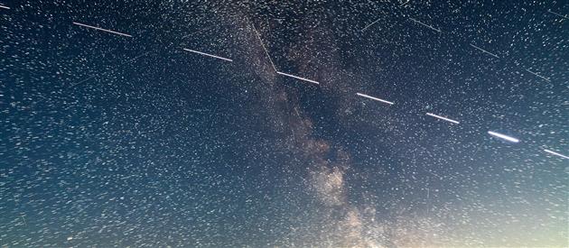
4K timelapse of stars and the milky way (and various planes and satellites) over the campground at Sugarloaf Ridge State Park. Shot while relaxing by the campfire so every time I throw on a log you can see the trees light up and then some smoke drift across the frame.

(Previously: Sugarloaf Stars)

Add your comment...

Related Posts

(More Timelapses)

(Published to the Fediverse as: Sugarloaf Stars and Milky Way #timelapse #stars #4k #sugarloaf #milkyway #video 4K timelapse of stars and the milky way over Sugarloaf Ridge State Park in Sonoma, California. )

Sunny afternoon at Fort Funston (a timelapse)

Updated on Saturday, February 19, 2022

ff

Timelapse of a pleasant sunny afternoon at Fort Funston, part of the Golden Gate National Recreation Area.

This is the first time I've tried to shoot a timelapse using my Pixel 4 XL. It's easy enough to work with, although frustratingly you can only deal in 5x's and 10x's and not actual intervals. It would be great to have a bit more control. But given time to kill and no good camera it was a lot more fun than no timelapse at all.

(Previously: Humpback Whale at Fort Funston)

Add your comment...

Related Posts

(More Timelapses)

(Published to the Fediverse as: Sunny afternoon at Fort Funston (a timelapse) #timelapse #beach #fortfunston #video Timelapse shot at Fort Funston (Golden Gate National Recreation Area) in San Francisco, California on a sunny afternoon. )

Fog Heart

Fog Heart

Sometimes even Karla The Fog leaves her heart in (or near) San Francisco. Seen on the excellent fog.today.

Add your comment...

Related Posts

(All Etc Posts)

(Published to the Fediverse as: Fog Heart #etc #sanfrancisco #fog Capture of San Francisco's Karla The Fog leaving a heart near San Francisco. )

Twin Peaks Loop

Updated on Thursday, August 10, 2023

Twin Peaks Loop

Twin Peaks Loop

Twin Peaks Loop

I have previously described Twin Peaks as not much of a hike, which is absolutely true if you drive there. When I first moved to San Francisco I lived in Noe Valley and used to cycle up to Twin Peaks and then try to get home without pedalling. For many years after that I'd take visitors up to the top and developed a somewhat weird tradition of taking each new child there soon after they were released from the hospital.

Post lockdown I'm up there most weeks. This is my five mile loop which starts heading up Ulloa from West Portal to Portola. Portola breaks the climb briefly as you pass the striking herchurch and controversial Twin Peaks gas station before heading up Twin Peaks Boulevard to the 922 foot summits. For a while Twin Peaks Boulevard was entirely closed to traffic (although you really had to keep an eye out for high speed skateboarders). Unfortunately it's now open all the way to Christmas Tree Point. Head down the north side to Clarendon and follow this all the way down to Forest Hill and then back to West Portal.

(Previously: Twin Peaks 360 4KTwin PeaksSan Francisco from Twin Peaks)

Hike starts at: 37.741879, -122.471354. View in Google Earth.

Updated 2023-08-10 03:02:

Hyperlapse of this hike from August 9, 2023.

Add your comment...

Related Posts

(Hike Map)

(Published to the Fediverse as: Twin Peaks Loop #hike #sanfrancisco #twinpeaks #coronavirus #map #video #hikevid #sfdogwalk Five mile loop hike from West Portal up Ulloa and Portola to the 922 foot summits of Twin Peaks and then back down Clarendon and Forest Hill. )

Remnants in the Sunset

Remnants in the Sunset

Remnants in the Sunset

Remnants in the Sunset

During the pandemic induced lockdowns last year we started hiking locally using random trails generated by Routeshuffle. Sometimes these were repetitive death marches along indistinguishable avenues (my kids would say 100% of the time). A few have emerged as favorites that I walk regularly and I'm going to add these to the ITHCWY hike collection.

Remnants in the Sunset is a three mile loop named for the islands of rock and dunes visited along the way. The west of San Francisco used to be all dunes and these parks are now all that remains of that original ecosystem.

Walk up 15th Avenue from Taraval to Grandview Park. Go up the steps, admire the view and then down the other side and follow 14th Avenue to Rocky Outcrop Park. This is a wind tunnel with houses on one side and cliffs on the other. Then head up to Golden Gate Heights Park and Larsen Peak at 755 feet. The return leg down Pacheco and Magellan provides views of Hawk Hill which has some unofficial trails but is closed to the public.

(Previously: Grand View of Fog, Post Storm Sunset)

Hike starts at: 37.741905, -122.471336. View in Google Earth.

Add your comment...

Related Posts

(Hike Map)

(Published to the Fediverse as: Remnants in the Sunset #hike #sanfrancisco #coronavirus #map Three mile loop hike visiting the Remnants in the Sunset: Grandview Park, Rocky Outcrop Park, Golden Gate Heights Park and Hawk Hill in San Francisco, California. )

Book reviews for September 2021

Shadow Land (Gordon Pope Thrillers, #3) by B.B. Griffith

Shadow Land (Gordon Pope Thrillers, #3) by B.B. Griffith

4/5


Add your comment...

Related Posts

(All Reviews)

Adobe Creek

Adobe Creek

Adobe Creek

Adobe Creek

Adobe Creek

Adobe Creek

A four mile out and back hike from the Palo Alto Baylands Nature Preserve trailhead. Interesting wetlands with lots of birds and some good views over the bay.

Hike starts at: 37.433507, -122.098799. View in Google Earth.

Add your comment...

Related Posts

(Hike Map)

(Published to the Fediverse as: Adobe Creek #hike #paloalto #pelican #map Four mile hike in the Palo Alto Baylands Nature Preserve, California. Wetlands with many birds and bay views. )

Autumnal Equinox 2021

Updated on Sunday, September 26, 2021

Catfood Earth render of the Autumn Equinox 2021

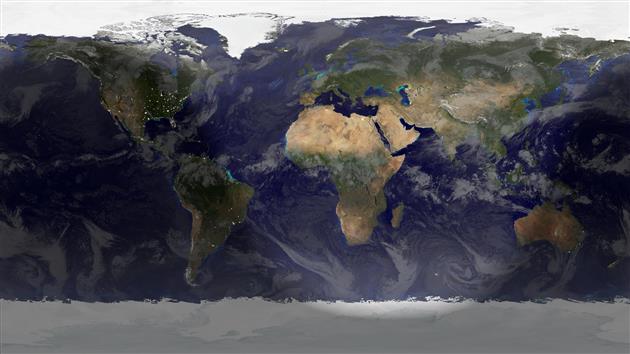
Autumn starts now (September 22, 2021 19:21 UTC) in the Northern Hemisphere, Spring for the Southern Hemisphere. Rendered in Catfood Earth.

(Previously: Autumnal Equinox 2020)

Add your comment...

Related Posts

(All Code Posts)

(Published to the Fediverse as: Autumnal Equinox 2021 #code #catfood #earth #equinox #autumnal Image of Earth with clouds and city lights rendered at the moment of the 2021 Autumn Equinox (September 22, 2021 19:21 UTC). )

Adobe Super Resolution Timelapse (Crystal Growth)

Updated on Saturday, February 19, 2022

Adobe Super Resolution Timelapse (Crystal Growth)

This is the third batch of crystals from our National Geographic Mega Crystal Growing Lab kit (see the previous two).

I have been meaning to experiment with Adobe's Super Resolution technology and this seemed like a good project for it. The video below has the same timelapse sequence repeated three times. If you're not bored of crystals growing yet you soon will be (don't worry, this is the last for now). The first version is a 2x digital zoom - a 960x540 crop of the original GoPro footage. The second version uses Super Resolution to scale up to full 1920x1080 HD. Finally I added both side by side so you can try to tell the difference.

Super Resolution generates a lot of data. I tried to use it once before for a longer sequence and realized that I didn't have enough hard drive space to process all the frames. In this case I upscaled the 960x540 JPEGs which went from 500K to 13MB, quite a jump. I don't see a huge difference in the side by side video though and wouldn't go through the extra steps based on these results. It's possible that going to JPEG before applying super resolution didn't help with quality. It's also possible that Adobe doesn't train its AI on a large array of crystal growth photos so I can imagine it might work better for a more traditional landscape timelapse. I'll test both these hypotheses together the next time I 10x my storage.

Add your comment...

Related Posts

(More Timelapses)

(Published to the Fediverse as: Adobe Super Resolution Timelapse (Crystal Growth) #timelapse #crystals #ml #video Time lapse using Adobe Super Resolution to upscale each frame before creating the video (source is crystals growing over two weeks with photos every five minutes). )

Home of the Whatevers

Home of the Whatevers

We have tried Common Core, Race to the Top, Charter Schools and No Child Left Behind. The US ranks #37 in math according to PISA, behind China, Russia, and Estonia. And we're not making any progress:

"Test scores on the federally funded National Assessment of Educational Progress—known as “the Nation’s Report Card—have been stagnant for the past decade. The scores of the lowest-ranked students declined."

Of course poverty, ideology and unions all play a role here. But none of these challenges are unique to the US. I think the problem is sports.

Something that has always bothered me as I travel around America is that most schools primarily identify themselves by their sports team. Home of the Tigers! Or whatever. What must that do to the majority of non-Tigers turning up for school every day. Nice work on the math test but the only thing we're actually proud of is the football team.

Sports are important of course, to build teamwork and for exercise and as a future career for a tiny minority of students. Nearly everything else the school does is far more impactful.

An important and easy (although likely unpopular) Federal education reform would be to force schools to promote all extracurricular activities equally. Schools could choose to promote nothing and just be a school (like the vast majority of the rest of the world). Or they could give each activity, club and society an equal share of their jumbotron to represent the full diversity of the student body.

Add your comment...

Related Posts

(All Politics Posts)

(Published to the Fediverse as: Home of the Whatevers #politics #education Ban promoting sports teams at the expense of other activities, a Federal education reform that might actually work. )