By Robert Ellison. Updated on Saturday, February 19, 2022.
Catfood WebCamSaver 3.26 is available to download.
This update includes the latest list of webcams. It has also been updated to use .NET 4.8 which means it will install with no additional downloads needed on Windows 10 and 11. The installer is now signed. You might get a warning from Defender about the program being infrequently used, you will need to ignore this to install. Lastly WebCamSaver will now automatically check for updates so you'll get a desktop notification when a new version is available.
Continuing my Catfood Software refresh I have added a detailed WebCamSaver Guide as a companion to the Catfood Earth post. I also released Catfood Earth 4.20. This is a minor feature release (with the 2021d time zone database) but has a lot of upgrades behind the scenes. I've migrated to .net 4.8 and renewed my code signing certificate both of which make it much easier to install on Windows 10 (and 11). Upgrade notifications died when I moved Catfood Software to ITHCWY, with this release there is a new web service so Earth can tell you when thee is a new version available. Similar changes will come to WebCamSaver soon.
This update includes the 2021d time zone database.
After procrastinating for far too long I have also migrated to .net 4.8 and renewed my code signing certificate. You'll get at least one less warning when installing and you no longer need to enable .net 3.5 on Windows 10 which was a pain. This shouldn't make any difference but please let me know if you have any trouble installing or running this version.
I have been listening to podcasts for over 20 years.
That shouldn't be possible as the format only really started in 2003. In late 2000 I was commuting from San Francisco to Sunnyvale and wanted to listen to Radio 4 while driving. I cobbled together a solution that involved some dodgy software that saved a RealPlayer stream to MP3, one of the first (pre-iPod) hard drive MP3 players and a headphone jack to FM dongle. I'm pretty sure I was the only person listening to the Today Program on I280 back then.
These days it's Podkicker Pro and Bluetooth and my problem is too many podcasts. For some reason I can't sit down and listen to a podcast. I'll immediately start reading some news or doing something else. The only times I can listen are while I'm occupied with something else - cooking, walking, commuting (and I haven't been doing much commuting recently).
I can't be alone in this but for some reason most podcasts are monetizing with extra content. Pay $5/month on substack and get the extra subscriber episodes or extended interviews or something extra. What I actually want to pay for is less content. Give away the three hour meandering version and charge for a tightly edited hour. Please.
(Published to the Fediverse as:
New Podcast Business Model: Less Content #etc#podcasts Podcasts should monetize by giving away the longer version and charging for a well edited cut.)
By Robert Ellison. Updated on Monday, September 29, 2025.
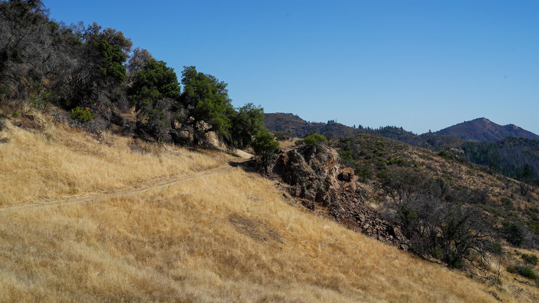
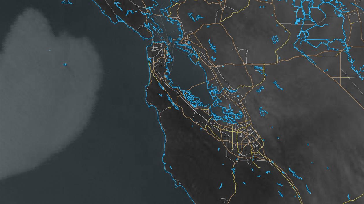
Pleasant 4.5 mile loop hike from the campground at Sugarloaf Ridge State Park in Sonoma. Head up Lower Bald Mountain Trail, hang a right onto Vista Trail and then return to the campground via Meadow Trail. The last part of the walk takes you past Saturn, Jupiter, Mars, Earth Venus and Mercury on the Robert Ferguson Observatory's Planet Walk. This spaces the planets proportionally distant from the observatory and if you took a right on Brushy Peaks Trail you can reach Uranus, Neptune and (don't tell anyone) Pluto, the prospect of which really makes me feel sorry for the New Horizons probe.
(Published to the Fediverse as:
Bald Mountain, Vista and Meadow Trails Loop (Sugarloaf Ridge State Park) #hike#sugarloaf#map 4.5 mile loop hike in Sugarloaf Ridge State Park, Sonoma, California. Includes part of the Robert Ferguson Observatory Planet Walk.)
By Robert Ellison. Updated on Saturday, February 19, 2022.
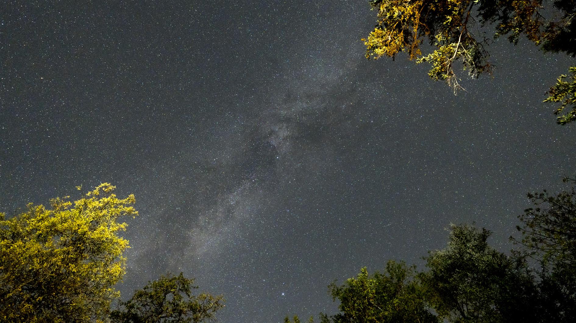
4K timelapse of stars and the milky way (and various planes and satellites) over the campground at Sugarloaf Ridge State Park. Shot while relaxing by the campfire so every time I throw on a log you can see the trees light up and then some smoke drift across the frame.
By Robert Ellison. Updated on Saturday, February 19, 2022.
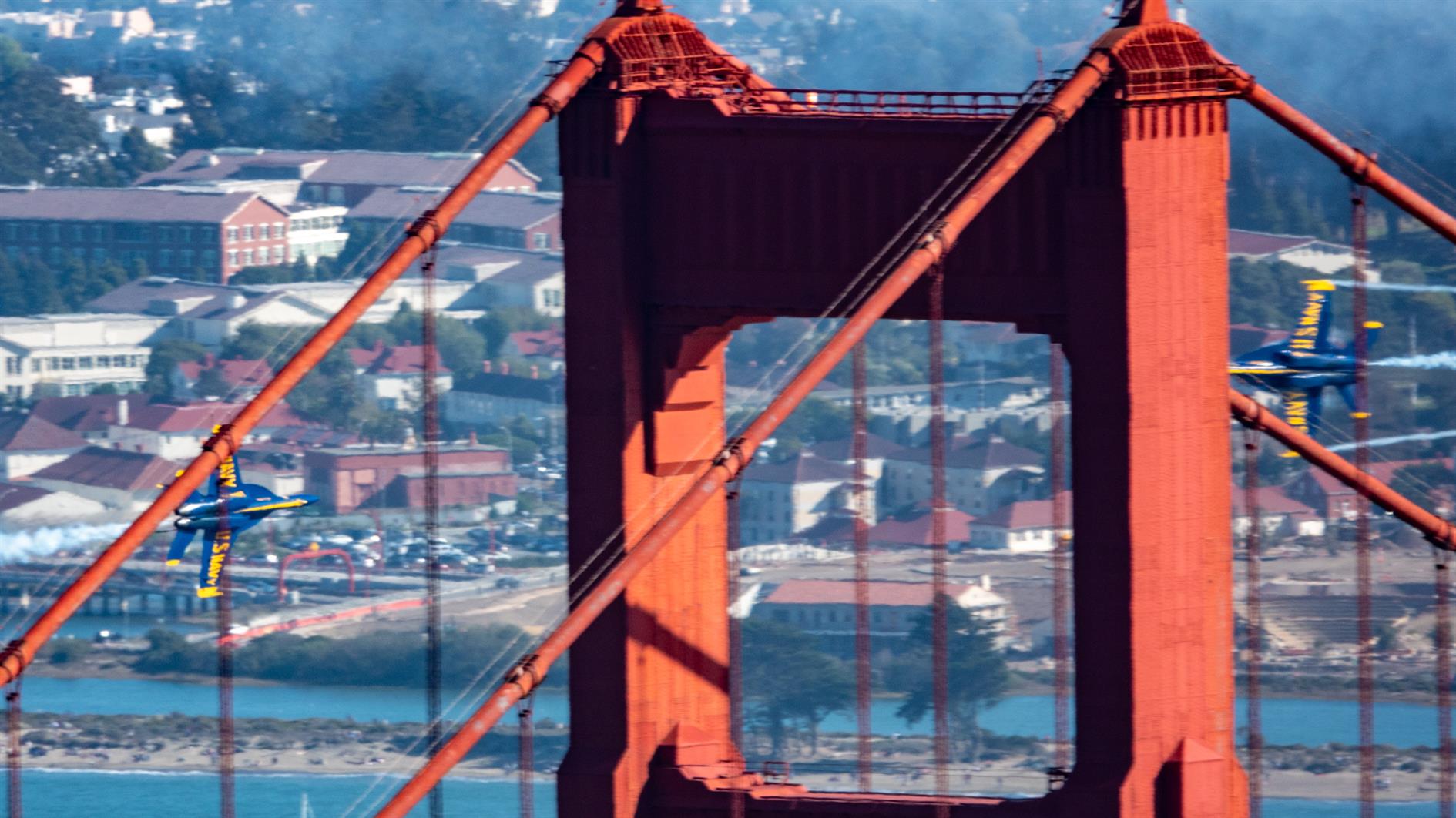
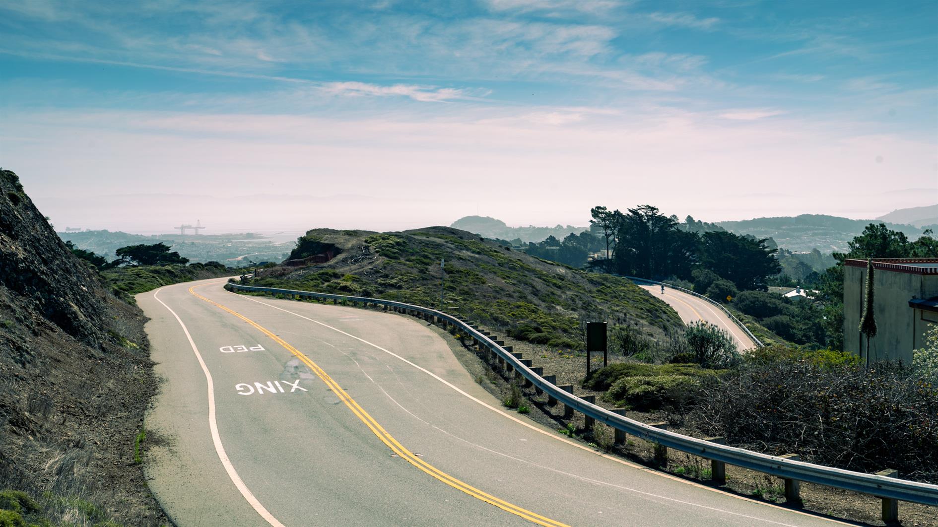
Timelapse of a pleasant sunny afternoon at Fort Funston, part of the Golden Gate National Recreation Area.
This is the first time I've tried to shoot a timelapse using my Pixel 4 XL. It's easy enough to work with, although frustratingly you can only deal in 5x's and 10x's and not actual intervals. It would be great to have a bit more control. But given time to kill and no good camera it was a lot more fun than no timelapse at all.
(Published to the Fediverse as:
Sunny afternoon at Fort Funston (a timelapse) #timelapse#beach#fortfunston#video Timelapse shot at Fort Funston (Golden Gate National Recreation Area) in San Francisco, California on a sunny afternoon.)
By Robert Ellison. Updated on Monday, September 29, 2025.
I have previously described Twin Peaks as not much of a hike, which is absolutely true if you drive there. When I first moved to San Francisco I lived in Noe Valley and used to cycle up to Twin Peaks and then try to get home without pedalling. For many years after that I'd take visitors up to the top and developed a somewhat weird tradition of taking each new child there soon after they were released from the hospital.
Post lockdown I'm up there most weeks. This is my five mile loop which starts heading up Ulloa from West Portal to Portola. Portola breaks the climb briefly as you pass the striking herchurch and controversial Twin Peaks gas station before heading up Twin Peaks Boulevard to the 922 foot summits. For a while Twin Peaks Boulevard was entirely closed to traffic (although you really had to keep an eye out for high speed skateboarders). Unfortunately it's now open all the way to Christmas Tree Point. Head down the north side to Clarendon and follow this all the way down to Forest Hill and then back to West Portal.