Reviews for January 2023
Spoilers!
Books
Borne
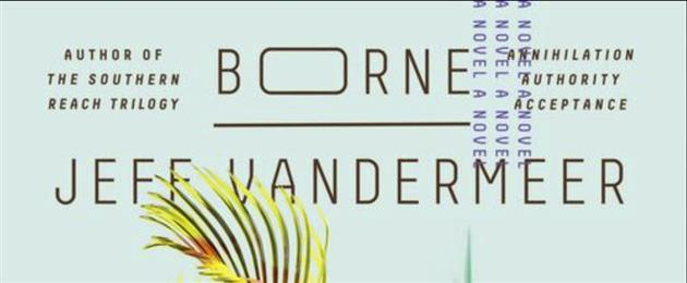
Borne by Jeff VanderMeer is a Ballardian visit to a ruined city where biotech from a mysterious corporation has spread out and taken over. Borne is a fast growing lump of said biotech, found on a giant flying Bear by a scavenger called Rachel. Then, things get weird. Excellent book, and there is another installment called Dead Astronauts which I will get to soon(ish).
Movies
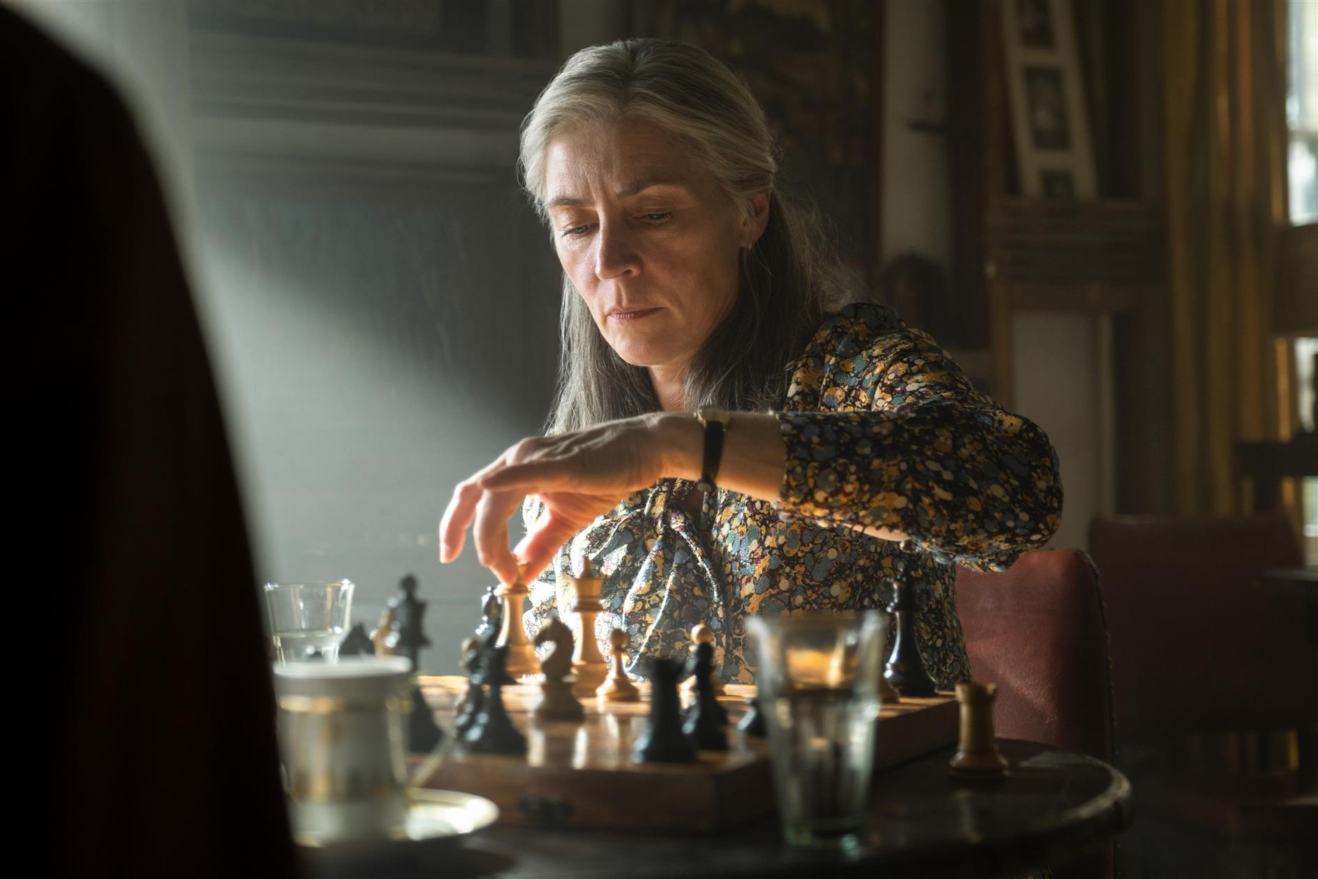
Berlin Syndrome
Australian girl falls for the wrong German guy, much captivity and violence ensues. Meh.
Emergency Declaration
Emergency Direction is a Korean film where a hemorrhagic virus is released onto a plane. It's reasonably diverting although fairly predictable. What I loved about it is that the introduction banged on about what a big deal an emergency declaration was and that it was martial law for a plane and they could land with top priority anywhere. By the time the captain declares an emergency half the passengers are dead, everyone else is infected and at least two countries had threatened to shoot them down. But being the title of the film they linger on it like it's a big deal that will change everything.
Lou
Allison Janney plays Liam Neeson rescuing a kidnapped child. I enjoyed it a lot.
The Lost City
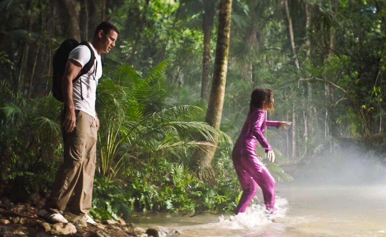
The Lost City with Sandra Bullock, Channing Tatum and Daniel Radcliffe is trying to bring Romancing the Stone back. It's funny.
Troll
Roar Uthaug is the undisputed master of Norwegian disaster movies. Troll is less enthralling than his waves and earthquakes and tunnels though. There is a scene with some helicopters toting church bells that is worth the price of admission (free with Netflix) but the ending is very underwhelming. Also, a lot of it reads like a criticism of a multicultural Norway what with Christianity having driven the Trolls out to start with, and the need for church bells to scare the beast away. Then that plot is dropped and a Muslim soldier is introduced like some scriptwriters were fundamentally at odds with each other. Reasonably fun though.
Music
Habits (Acoustic)
I'm listening to a lot of Tove Lo at the moment, and this acoustic version of Habits is why YouTube beats the living daylights out of any Dolby Atmos enabled streaming service.
Podcasts
Crypto Island
Crypto Island from PJ Vogt barely got started and then slowly died with months between episodes. Vogt tells a good story so it was worth a listen when it occasionally appeared but it was hard to piece together. I'm looking forward to whatever he does next, and he's apparently working on something.
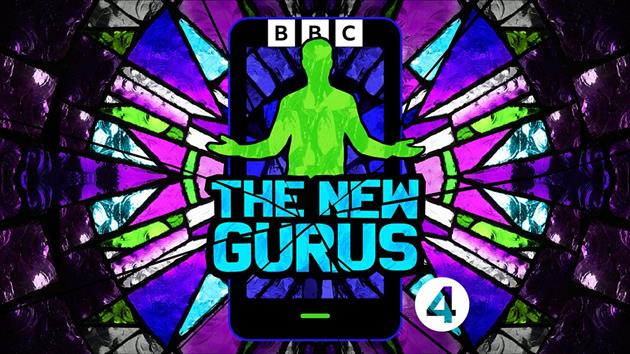
The New Gurus
New Year's resolution: write more reviews. I stopped using Goodreads for anything meaningful a few years ago but had integrated it into my blog CMS to automatically post reviews. As a result these have become a little sad. I've just whipped up a new review system that doesn't use Goodreads as motivation to both write more and to review things that are not books (gasp).
The New Gurus is a BBC Podcast presented by Helen Lewis that surveys all kinds of modern woo. From bitcoin to productivity via health scams and equity training. As a skeptically inclined person I loved it and binged the whole series over a couple of days. Helen concludes that the New Gurus are mostly men mostly looking to find the right path to masculinity. I think you always need to be looking for what they're selling beyond the obvious - if it's vitamin supplements or a political candidacy the cult suddenly makes a lot more sense. With only half an hour per topic I also found myself wishing she could spend more time on each - I'd happily listen to a series on most of the subjects covered here. Highly recommended unless you're a believer in which case it will probably make you quite mad.
The Reith Lectures
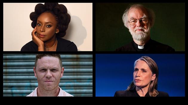
I always enjoy The Reith Lectures, it's what the BBC is for. They also have a massive archive which is fun to dig through. This year has four speakers covering FDR's four freedoms: freedom of speech, freedom of worship, freedom from want, and freedom from fear.
Two standouts for me. Chimamanda Ngozi Adichie covered freedom of speech, and in the sense that I understand it, which is that you might get offended. An absolute barnstormer of a lecture. At the other end of the spectrum Rowan Williams mounted an incredibly poor defense for the freedom to worship. His central point seems to be that we need to prioritize minority opinions (i.e. Anglicans) in order to make progress on human issues and to the best of my recollection religion has usually been dragged to the new consensus at the end rather than the beginning. He also cloaked this intellectual dishonesty in feminism and gay rights which is frankly offensive from the former leader of a church that won't marry gays and doesn't think women can handle the job. I loved both for very different reasons.
TV
Bosch Legacy
I enjoyed the Bosch series on Amazon Prime. I haven't read the actual Bosch novels (there are a lot, if I start I might ever end) but I have read the four that costar Renée Ballard and those are pretty good. So I had high expectations for this new series.
Bosch Legacy is not on Amazon Prime, it's on Amazon Freevee which Amazon somewhat confusingly describes as a 'premium free streaming service'. Sounds too good to be true, and it is. It's chock full of really bad ads. I pay all kinds of money to avoid ads but in this case you can't even buy the series on Amazon, you have to choke down those ads to watch it. It's not as clunky as Hulu, but it suffers from not having many advertisers and so by the time I've seen the same ad for the 50th time I loathe that company with a vengeance. I'll never buy their products in the future out of spite, and if I happen to have any in the house I'll use the ad break to throw them out. Also, after using Hulu once I never did again. I think Freevee is in the same category.
At least all those ads paid to bring Bosch back to the faithful, right? Well, yes and no. The core cast of Titus Welliver, Mimi Rogers, Madison Lintz are fantastic and the plot is there, but the production is cheap and shows it. Early on Bosch's nice house which must cost a few bucks to film in gets red tagged and he's forced to move into some generic office. And they can't afford many cameras or crew either, there are regular cuts that just look off (like in a conversation when switching between actors and the person is clearly not quite where they should be). Overall it was OK, but tainted by being too cheap and in a bad streaming neighborhood.
His Dark Materials Season Three
The BBC/HBO version of His Dark Materials wraps up with season three based on Philip Pullman's The Amber Spyglass. What a fantastic trilogy. And after the disappointing film this adaptation is a revelation. Pullman is going after the Catholic Church specifically and religion in general, but in a world of materialized souls in the form of daemons and actual angels. In the end the church is defeated and the multiverse saved by individual sacrifice more than the army assembled for the final battle. What a heartbreaking ending. Amazing.
Jack Ryan Series 3
Jack Ryan is back, thwarting an attempt to overthrow the Russian government. Right now that seems like it might be a good idea? Is he the baddie? This is very much Tom Clancy's and not Tom Clancy, but for Season 3 they've figured out that in a spy thriller the plot is of little consequence if it's happening with urgency against a backdrop of beautiful European cities and I'll watch that all day (or at least for a few nights). The main problem was watching this the same month as Slow Horses.
Slow Horses Season 2
I love Mick Herron's Slough House books and was very excited that Apple adapted them for TV. The second season just dropped, and it's even better than the first. Still very faithful to the book but the characters are more comfortable and distinct. I hope they start work on the Oxford Investigations as well (a different but also good set of Herron books). With the first season I was very unconvinced by Gary Oldman as Jackson Lamb (in my head this role was played by Daniel Ryan). Oldman has managed to get a lot more Lamb-like for season 2.
The White Lotus Season Two
The second season of The White Lotus is good but not great. There is a moment when Jennifer Coolidge's Tanya McQuiod asks for an Oreo Cheesecake and it's such a devastatingly wrong thing to ask for at a hotel in Sicily but a humanizing moment at the same time. But this series is more of a murder mystery and less of a tone poem. It's just a little less lucious, and outrageous and funny and relaxing. Please stop now and don't make any more. We don't need to go to The White Lotus Rochester Parkway.
Treason
Treason on Netflix is a brief five episode double-crossing spy caper. It's a little soapy - sort of a Harlan Coben's Bond, if that Bond was stuck in London.
(All images included with ITHCWY reviews are the property of their respective owners and are used to illustrate reviews only.)