By Robert Ellison. Updated on Sunday, September 28, 2025.
Today is the last day to comment on the latest version of the dog management plan for the Golden Gate National Recreation Area. I've just squeaked in under the wire. My main concern is that the National Park Service is sneaking in provisions that will allow them to further restrict access over time. The specific pros and cons of the rules for each site are less important than preserving the GGNRA as a recreation resource for everyone over time. I'm not a militant dog person - I think that there should be dog free beaches for people who prefer to not have dogs around for instance. Much of what is in the plan is reasonable. I just don't trust the NPS to stop here.
Here's my full response to the NPS:
Dear National Park Service
I am writing to provide my feedback on the latest version of the proposed rule changes for dog walking in the Golden Gate National Recreation area (RIN: 1024-AE16). I also commented extensively on the first and second round and so will limit myself here to a few key points.
My primary concern with the new rules is the provision for the superintendent to further limit or remove access based on the following language:
"If primary management actions do not sufficiently address the problem, the superintendent would implement secondary management actions. Examples of secondary management actions may include, but are not limited to increased buffer zones, and additional use restrictions (e.g. limiting the number of dogs off-leash at any one time with one dog walker, requiring tags or permits for accessing Voice and Sight Control Areas, or short or long-term, dog walking area closures)."
I feel that the tone of the proposed rule changes suggests that the National Park Service would just prefer to have the same set of regulations system wide and shut down off leash access to the GGNRA. Regardless of how reasonable or unreasonable the new rules are initially it feels like excuses will be found to whittle down access over time. Enforcement should be limited to individuals who violate the rules and not to shutting down access for everyone. I cannot support the rule changes while it contains this provision.
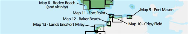
My family lives in San Francisco and we regularly visit Fort Funston, Crissy Field, Rodeo Beach and Hill 88 (Marin Headlands) with our well behaved dog. We occasionally visit Ocean Beach, Sweeney Ridge and other GGNRA locations.
Given our use of the GGNRA I feel that the plan has improved considerably compared with the previous two versions. My chief remaining concern is the Sand Ladder trail at Fort Funston. Unless you are contemplating improvements to the trail I do not feel that this is safe for on leash walking and it should be maintained as an off leash trail for the safety of dogs and walkers alike.
In the Marin Headlands we often walk the loop up the Coastal Trail to Hill 88 returning to Rodeo Beach via Wolf Ridge and the Miwok Trail. The proposed leashed access to a portion of the Coastal Trail and Old Bunker Road is much shorter. I would love to still be able to hike the Hill 88 route with our dog (preferably off leash, but on leash would be better than nothing).
(Published to the Fediverse as:
GGNRA Dog Management Round 3 #politics#ggnra#nps#dogs Comments on the third version of the GGNRA dog rulemaking process by the National Park Service)
(Published to the Fediverse as:
Clouds #photo#clouds#sftl A single frame time lapse (SFTL) of clouds passing overhead for ten minutes. Each vertical line is shot separately.)
By Robert Ellison. Updated on Wednesday, February 22, 2017.
Screw Holacracy, I have an idea that will revolutionize business and drive the next wave of global productivity gains. It’s a simple question of fixing meetings.
My dream week is one where I have two miserable days with back to back meetings and forget lunch, there isn’t even enough time to grab a coffee. Sound miserable? The upside is three uninterrupted days where I can cruise through a ridiculous amount of work.
My real week - meetings dotted throughout each day with half hour breaks in between. And many of these meetings will involve eighteen people shoehorned into a closet because someone booked the big room for a 1:1.
We need a meeting defragmenter.
Let go of picking a time and a room. Just say who you need to meet with and for how long. The meeting defragmenter will pick the best room and group all meetings as close together as possible with a five minute break in between.
Your company can decide if you prefer to load mornings or afternoons, or maybe Mondays and Thursdays. You can set core hours for each team.
Information workers take around twenty minutes to enter a state of flow which is where you need to be to write great code, conduct awe-inspiring analysis or generally do anything of value to your company. A half hour gap in between meetings is just enough time to get back to your desk, dismiss unwelcome interruptions, start to get into a state of mind to tackle some real work and then realize it’s time for another meeting.
Giving more people more blocks of useful time would be an incalculable benefit to their mental health, their businesses and the global economy. This one simple tool could change the world.
As usual if any of my billionaire investor readers are interested, call me.
(Published to the Fediverse as:
Meeting Defragmenter #etc#meetings#lazyweb Fix meetings by automatically grouping them into chunks leaving free time to actually get some work done without constant interruption.)
By Robert Ellison. Updated on Saturday, October 1, 2022.
An Echo knockoff and rapturous applause for variable font size in a messaging app. Not much innovation so far this year.
The horrific trend in Inbox and now Allo is machine learning auto reply so you can send something canned and inauthentic instead of actually speaking with people. Zombie Robs might approve but I'm far from convinced.
Updated 2016-05-18 14:12:
Android N looks super cool and I can't wait. The #1 productivity enhancement I'd like to see though is copy and paste icons that look like copy and paste. I do not have a clue currently.
Updated 2016-05-18 14:24:
No headset.
Updated 2016-05-18 14:40:
Android Studio is very nice. Eclipse was painful. I actually like Android Studio more than Xamarin which is saying a lot for a C# leaning person.
(Published to the Fediverse as:
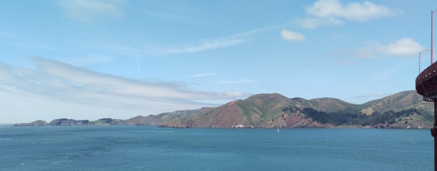
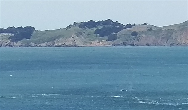
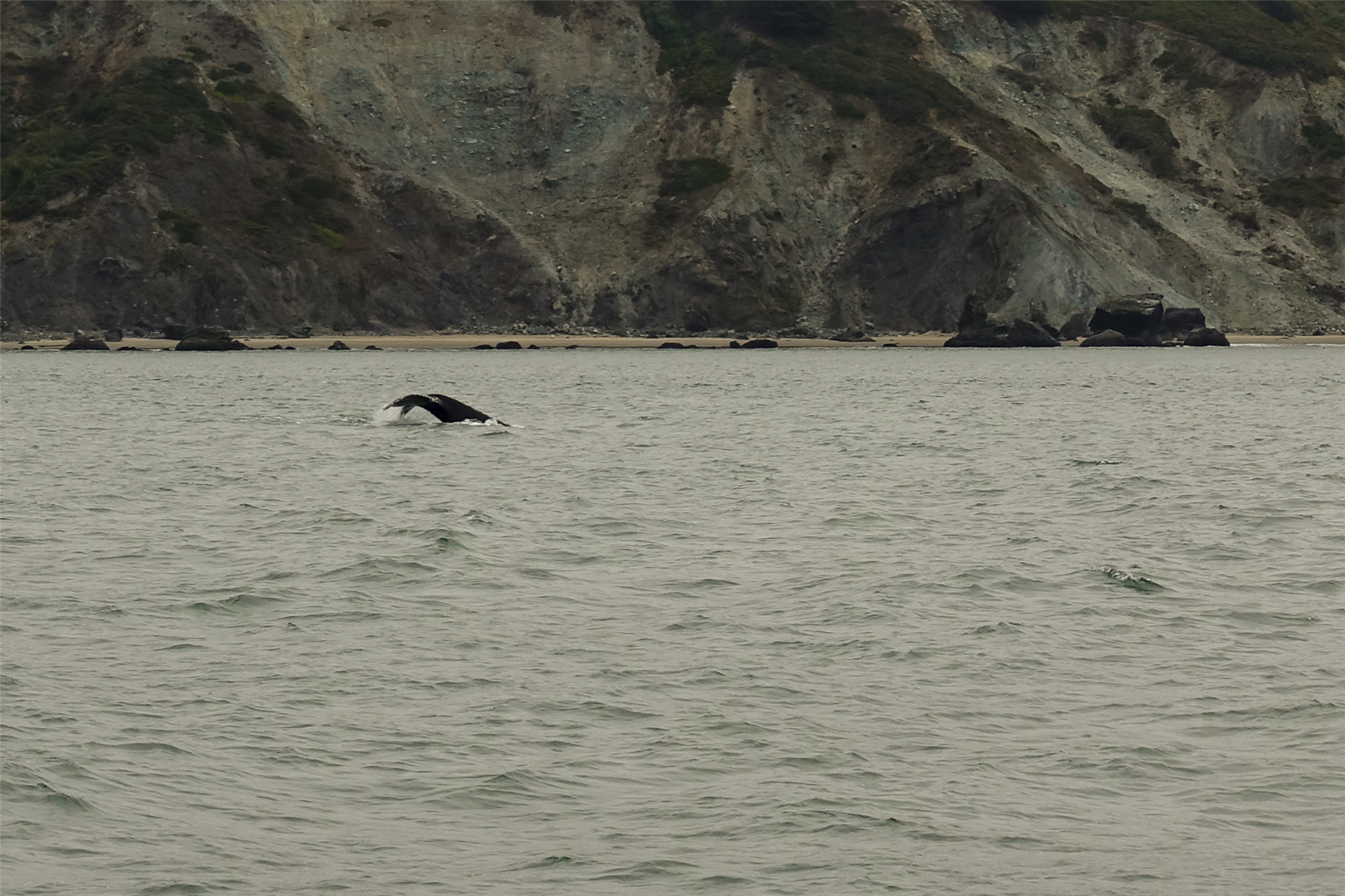
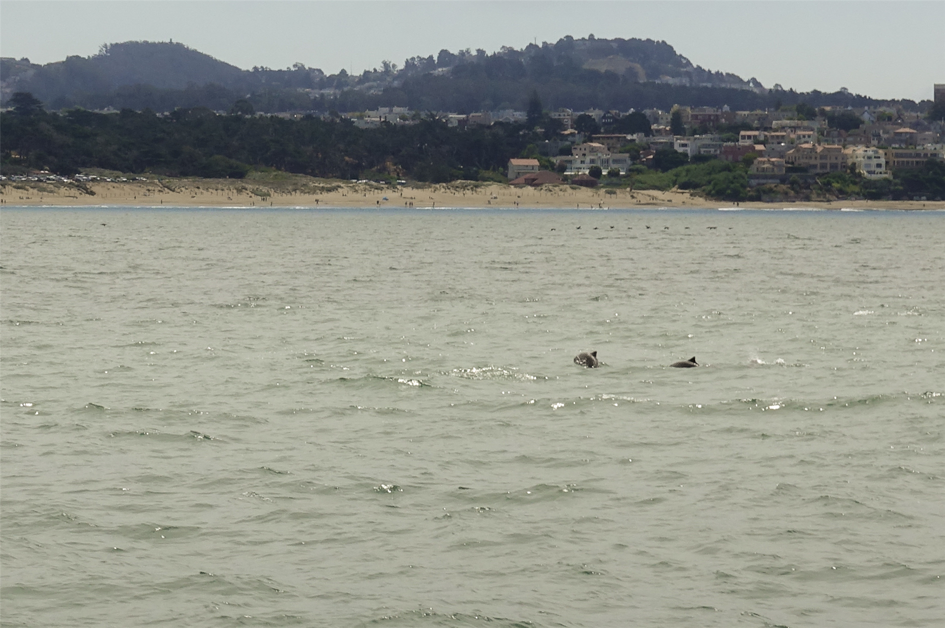
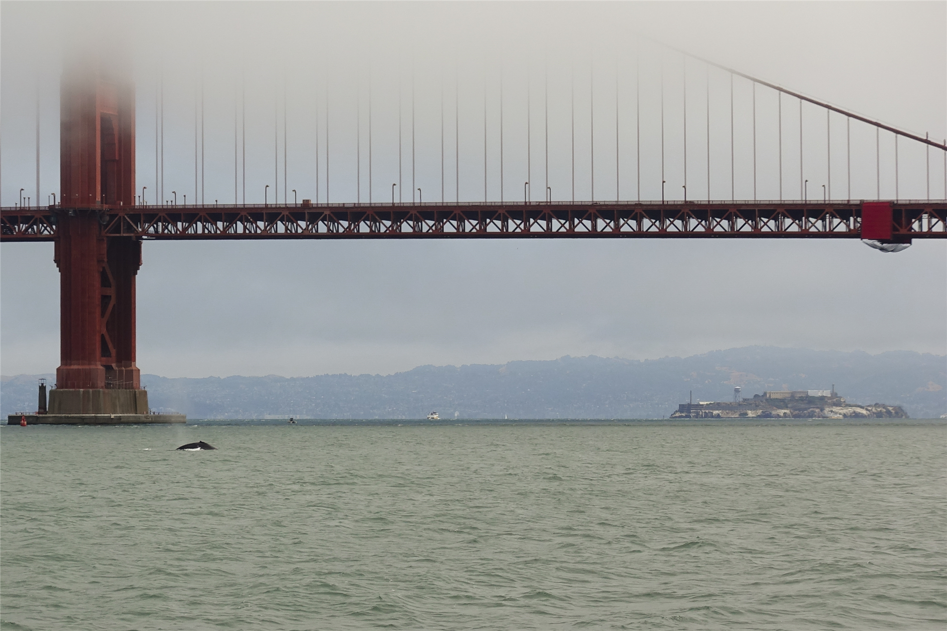
Humpback Whales in Golden Gate #photo#whales#ggb Photo of Humpback Whales in the Golden Gate near San Francisco, California.)
By Robert Ellison. Updated on Friday, February 24, 2017.
The Phoenix Descent by Chuck Grossart
3/5
It's billed as a bit of a scifi time travel adventure but really it's more of a zombie apocalypse variant. Not really my thing so I initially hated it but that hatred turned to respect and finally, love. Well maybe not quite love but it's a decent read.
Farthest Field: An Indian Story of the Second World War by Raghu Karnad
4/5
Very personal and sometimes florid but deeply fascinating story of the Indian Army in World War 2.
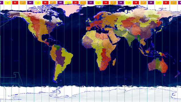
Catfood Earth 3.42 is a small update to the latest (2016d) timezone database and the latest timezone world and countries maps from Eric Muller. If you use the political borders, places or time zones layers in Catfood Earth then you'll want to install this version.
(Published to the Fediverse as:
Goodreads Feature Request #etc#goodreads A modest suggestion for a dedicated shelf in Goodreads for Infinite Jest by David Foster Wallace.)