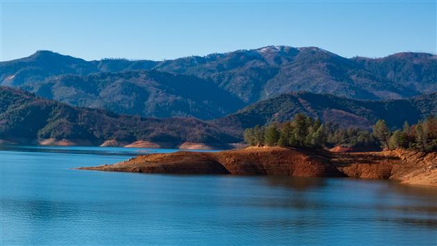
Waters Gulch Loop Trail
By Robert Ellison. Updated on
Short 3.5 mile loop trail next to Shasta Lake. There is a nice spot to have lunch near the water half way round. The final stretch is on a twisty road with no sidewalk but overall a pleasant hike with a range of terrain and views.
Hike starts at: 40.782201, -122.335434. View in Google Earth.

Add Comment
All comments are moderated. Your email address is used to display a Gravatar and optionally for notification of new comments and to sign up for the newsletter.