Richards Fire Road
By Robert Ellison. Updated on
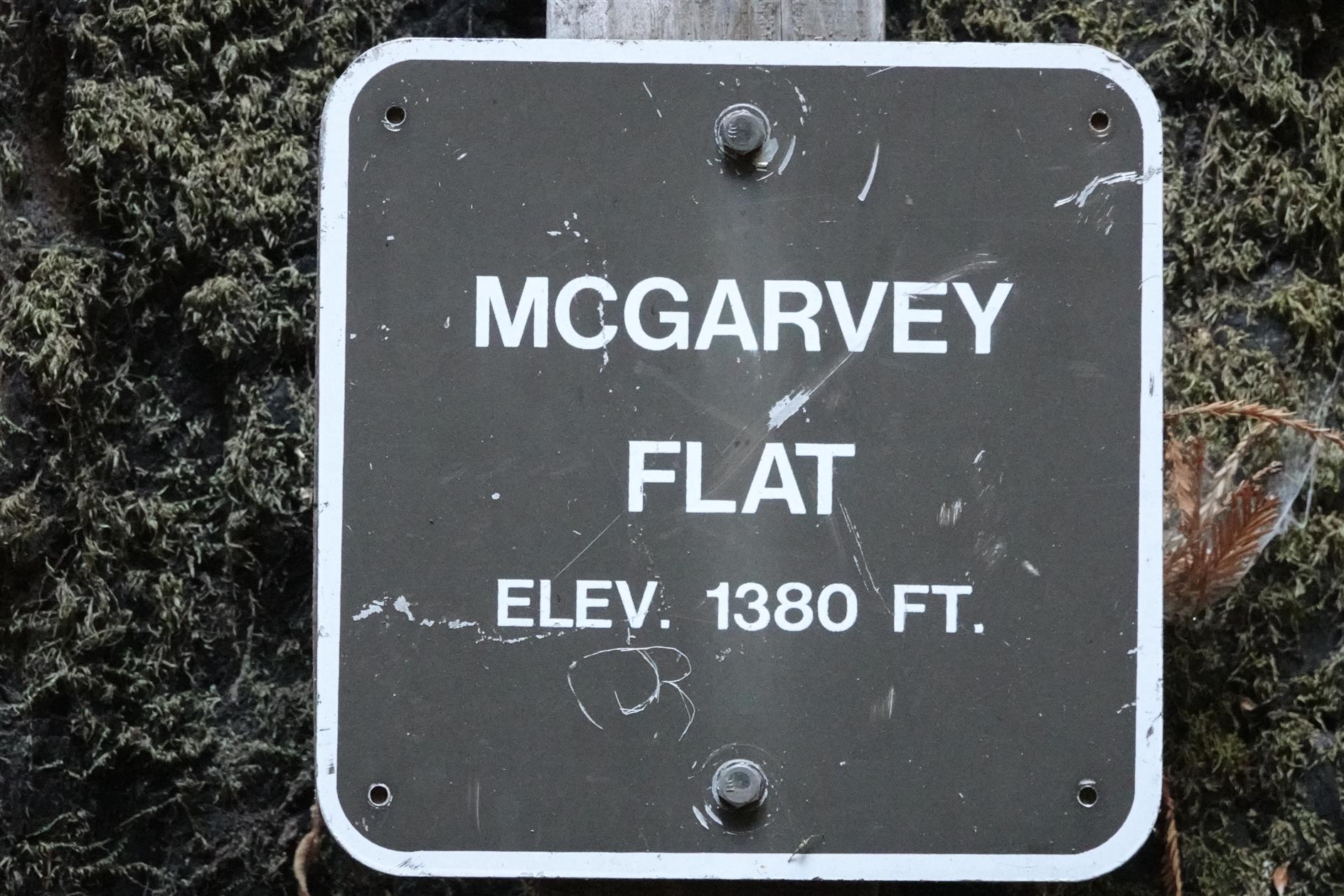
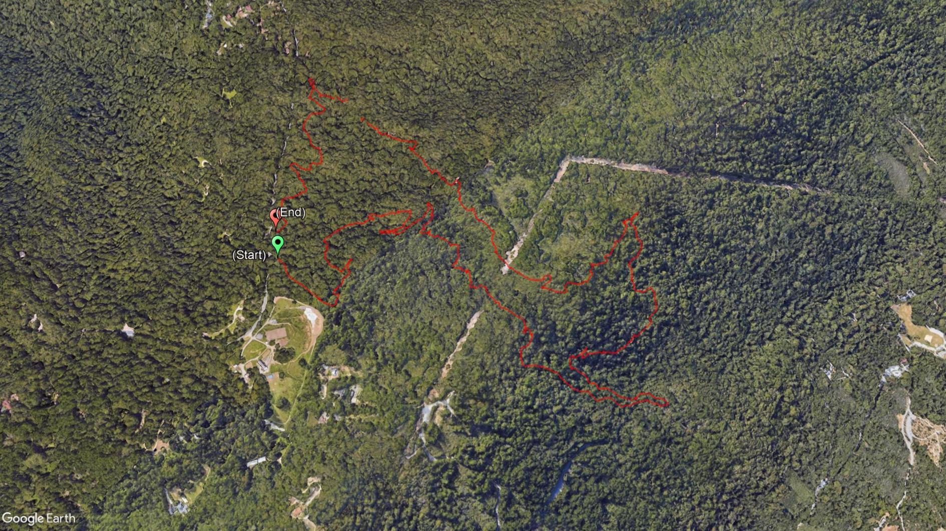
A 4 mile loop starting at Skyline Boulevard and descending through dense forest from 2,000 feet to McGarvey Flat at 1,380 before ascending in slightly brighter but still shaded conditions. Perfect on a warm day. This is in Huddart Park in San Mateo county, just the other side of 35 from Purisima Creek. The hyperlapse video shows the second half of the hike.
Hike starts at: 37.429281, -122.312027. View in Google Earth.
Add Comment
All comments are moderated. Your email address is used to display a Gravatar and optionally for notification of new comments and to sign up for the newsletter.