Teague Hill Preserve
By Robert Ellison.

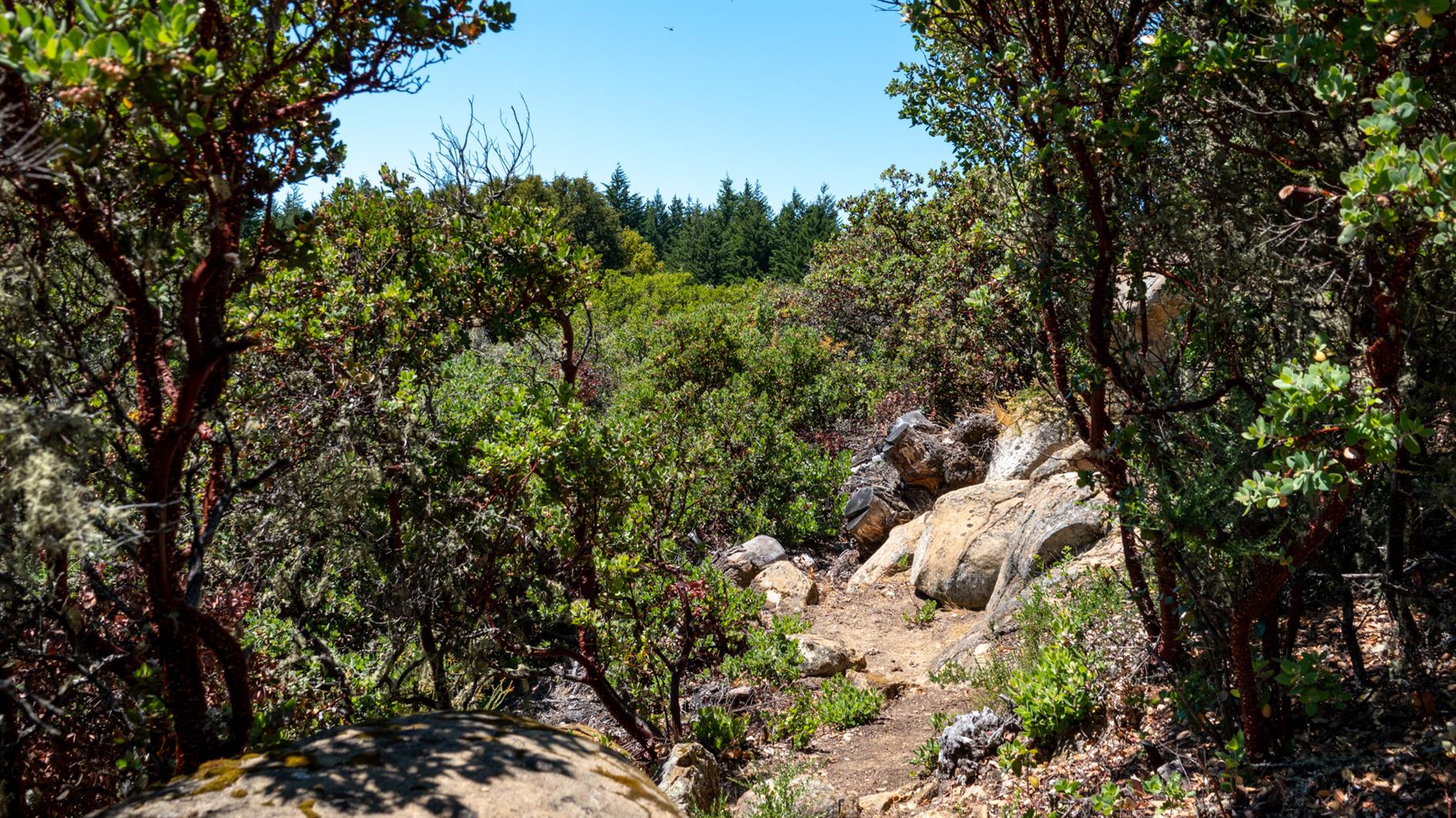
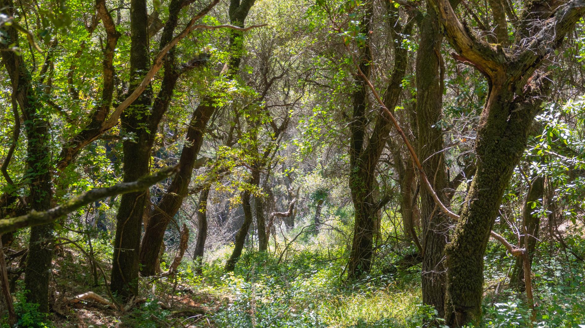
A four mile, 1,400 foot hike into the Santa Cruz Mountains from just above Woodside. The trail is almost entirely under canopy but with a lot of variety and the occasional snatch of a view of the bay as you climb. The Bear Gulch section is very steep in places, if I did this route again I'd try Marker 3 to Marker 11 to see if the descent is more forgiving. Oh, and make sure you have a map or a downloaded route, there are a lot of trails with multiple entrances so it would be pretty easy to get lost here.
Hike starts at: 37.424658, -122.281739. View in Google Earth.
Add Comment
All comments are moderated. Your email address is used to display a Gravatar and optionally for notification of new comments and to sign up for the newsletter.