Bumpass Hell
By Robert Ellison. Updated on
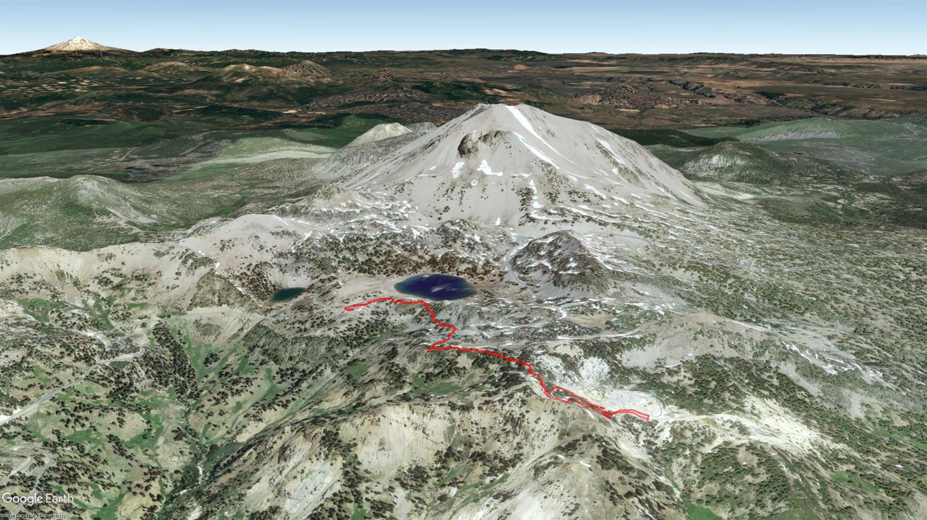
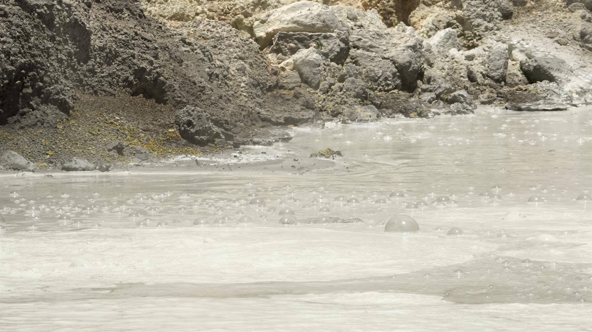
Third time lucky - Bumpass Hell was open for my third trip to Lassen Volcanic National Park. It's a three mile out and back with great views and of course a whole bunch of geothermal features at the end. The trail winds gently up to Bumpass Hell where there is a steep and surprisingly slippery descent (and an alternate route back up for a very small loop at the end of the trail). Very glad to have finally hiked it.
(Previously: Lassen Star Trails)
Hike starts at: 40.465403, -121.514653. View in Google Earth.
Add Comment
All comments are moderated. Your email address is used to display a Gravatar and optionally for notification of new comments and to sign up for the newsletter.