Lake Helen
By Robert Ellison.
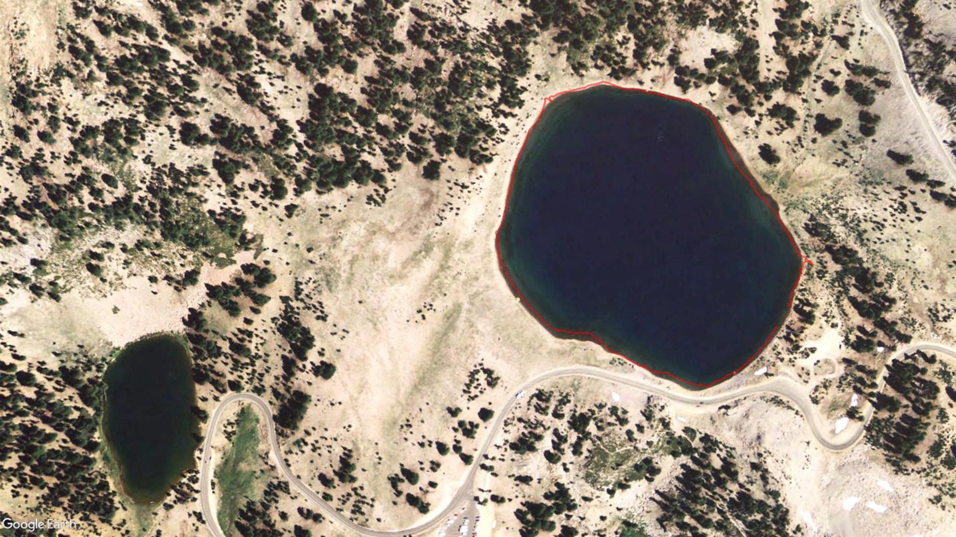
It's three quarters of a mile round Lake Helen, not really worth doing unless you're waiting for someone to finish paddling...
Hike starts at: 40.467433, -121.508604. View in Google Earth.
Add Comment
All comments are moderated. Your email address is used to display a Gravatar and optionally for notification of new comments and to sign up for the newsletter.