Angel Island Perimeter Road
By Robert Ellison. Updated on
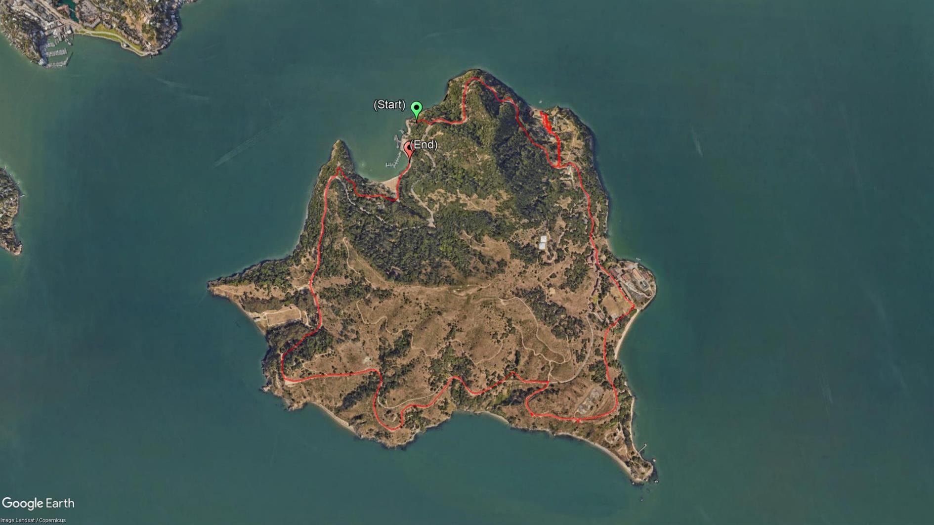
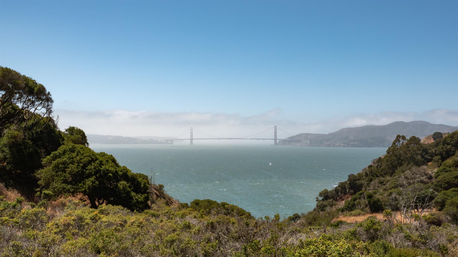
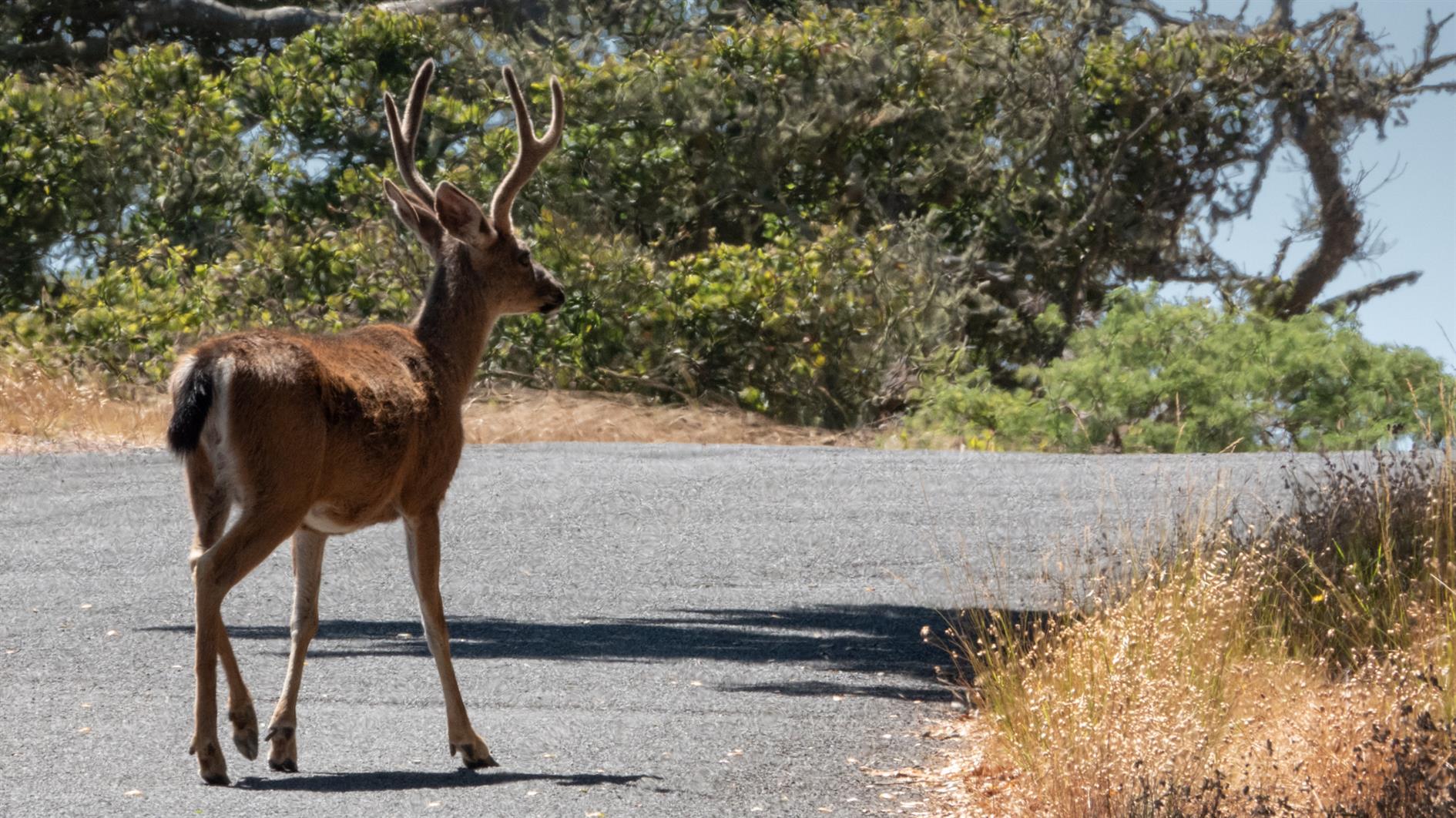
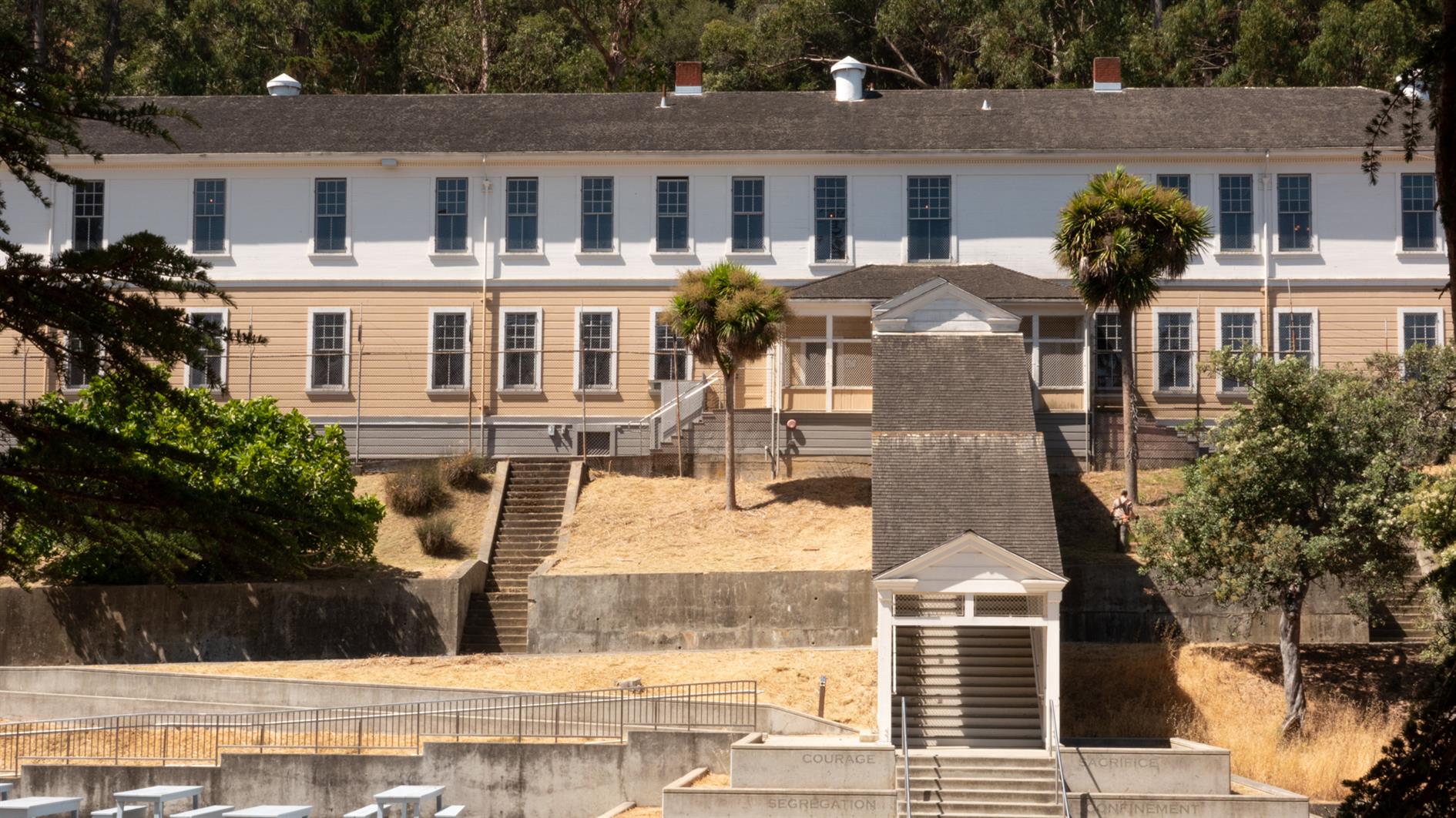
Easy and spectacular hike around the perimeter road of Angel Island. Around five and half miles, although gets a bit longer if you add a detour or two, and there is something interesting around every corner. Just make sure you don't miss the last ferry back.
(Previously: Mt. Livermore on Angel Island)
Hike starts at: 37.869421, -122.433996. View in Google Earth.
Add Comment
All comments are moderated. Your email address is used to display a Gravatar and optionally for notification of new comments and to sign up for the newsletter.