Mount Davidson
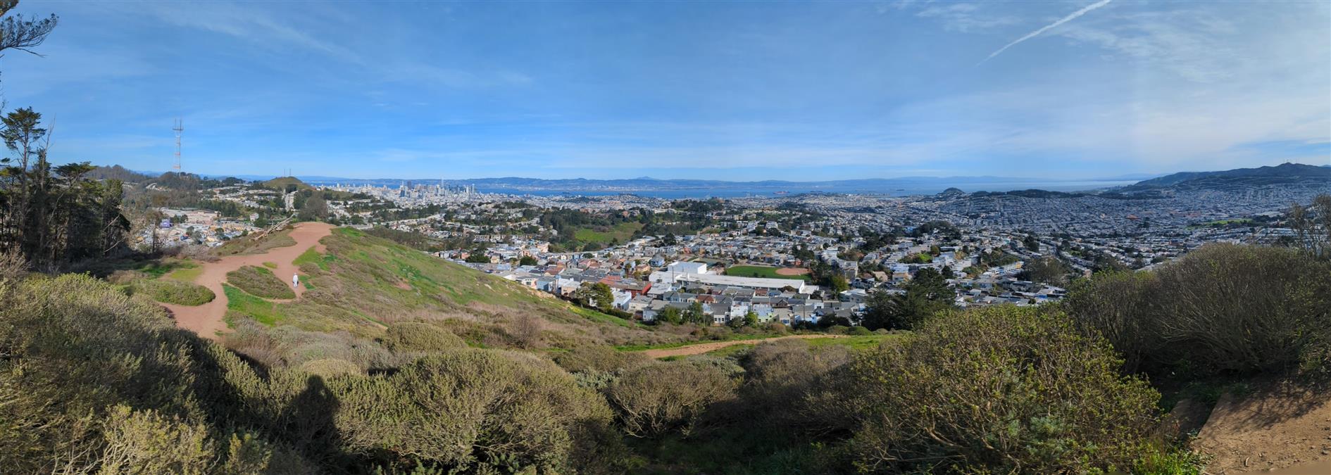

Continuing my series of local coronavirus hikes, Mount Davidson is the highest peak in San Francisco and this three mile hike takes you there from West Portal. Take Ulloa to Kensington and then cross Portola on the footbridge. Juanita takes you to one of the Mount Davidson trails and up to the top. You can come back the same way, or follow Kensington all the way over to Taraval.
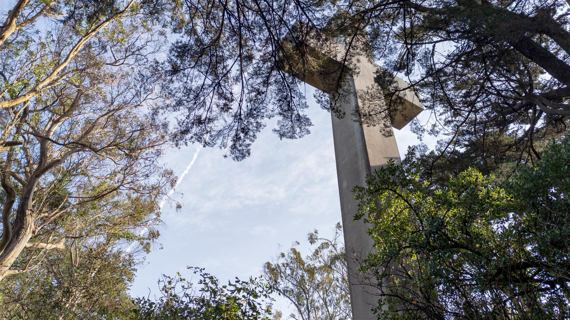
The cross at the top is a memorial to the Armenian Genocide and while most of Mount Davidson is a San Francisco park the area at the top is owned by the Council of Armenian-American Organizations of Northern California (due to a church/state separation lawsuit). It's a great spot to look (slightly) down on the Twin Peaks set who just think they've reached the top of San Francisco.
(Previously: Mount Davidson 360 4K)
Hike starts at: 37.741614, -122.471306. View in Google Earth.
Add Comment
All comments are moderated. Your email address is used to display a Gravatar and optionally for notification of new comments and to sign up for the newsletter.