Assassination Coordinates
By Robert Ellison. Updated on
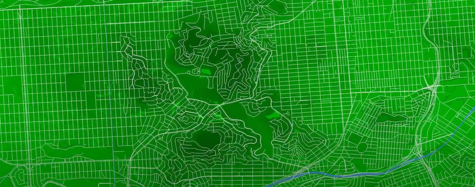
Testing out some shapefile code with a zoom into San Francisco. This uses five different shapefiles:
Country borders are from Eric Muller's fips-10 shapefile.
States and US Counties come from the United States Census Bureau.
San Francisco 5 foot elevation contours from DataSF.
Finally the street map for San Francisco is from data.gov.
These are almost all based on different projections and I did my best to actually line everything up but if you're heading over for coffee it's probably best to stick with Google Maps.
Add Comment
All comments are moderated. Your email address is used to display a Gravatar and optionally for notification of new comments and to sign up for the newsletter.