Milagra Ridge
By Robert Ellison. Updated on
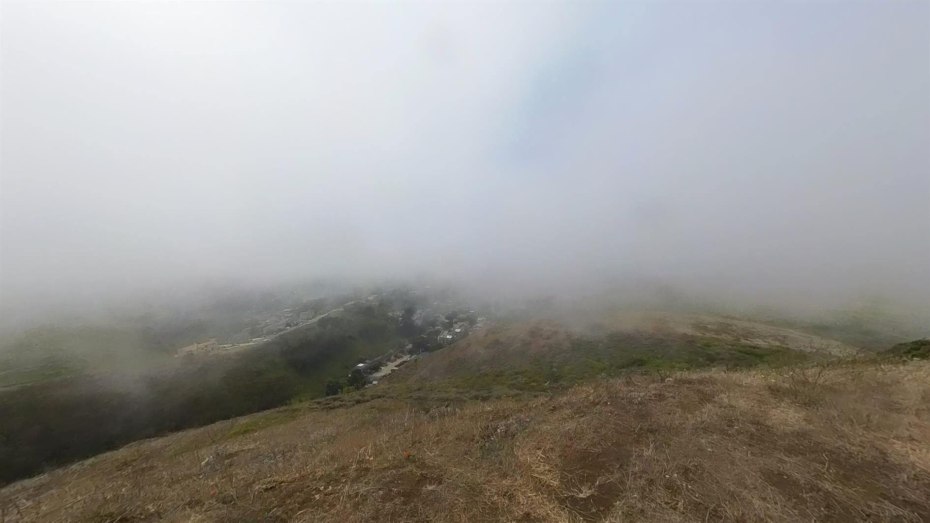
Starting from this parking area makes for a brisk walk up to Milagra Ridge and then a nice loop at the top before returning by the same trail. Milagra Ridge used to be a Nike missile site (SF-51), still has some WWII remains (Battery #244) and a reservoir. I thought it looked like a nice enough day to brave Pacifica but by the time I'd loaded the dog and driven down the fog had swept in. Still a pleasant 3 mile hike.
Hike starts at: 37.643146, -122.488815. View in Google Earth.
Add Comment
All comments are moderated. Your email address is used to display a Gravatar and optionally for notification of new comments and to sign up for the newsletter.