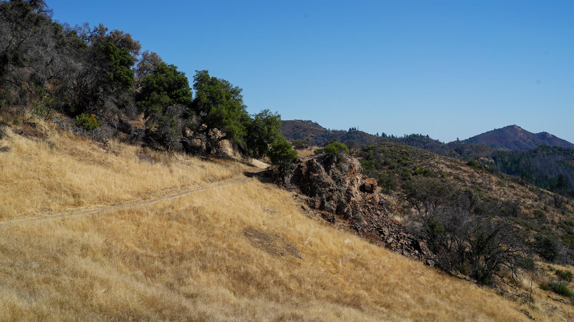
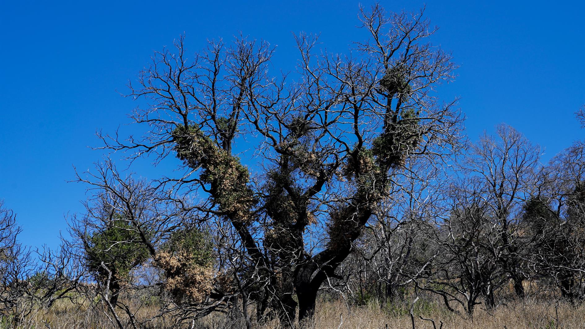
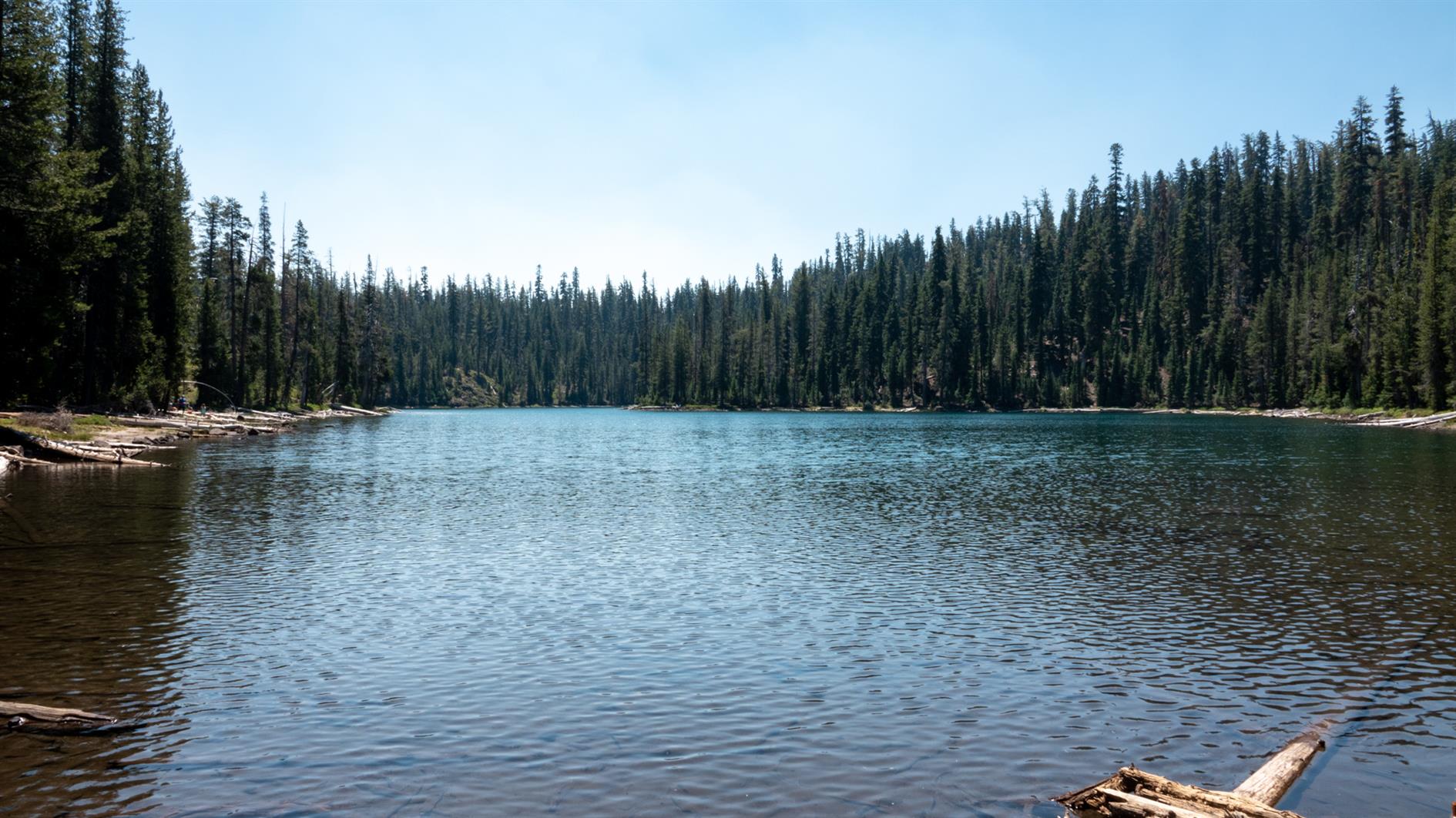
Sawmill Flats
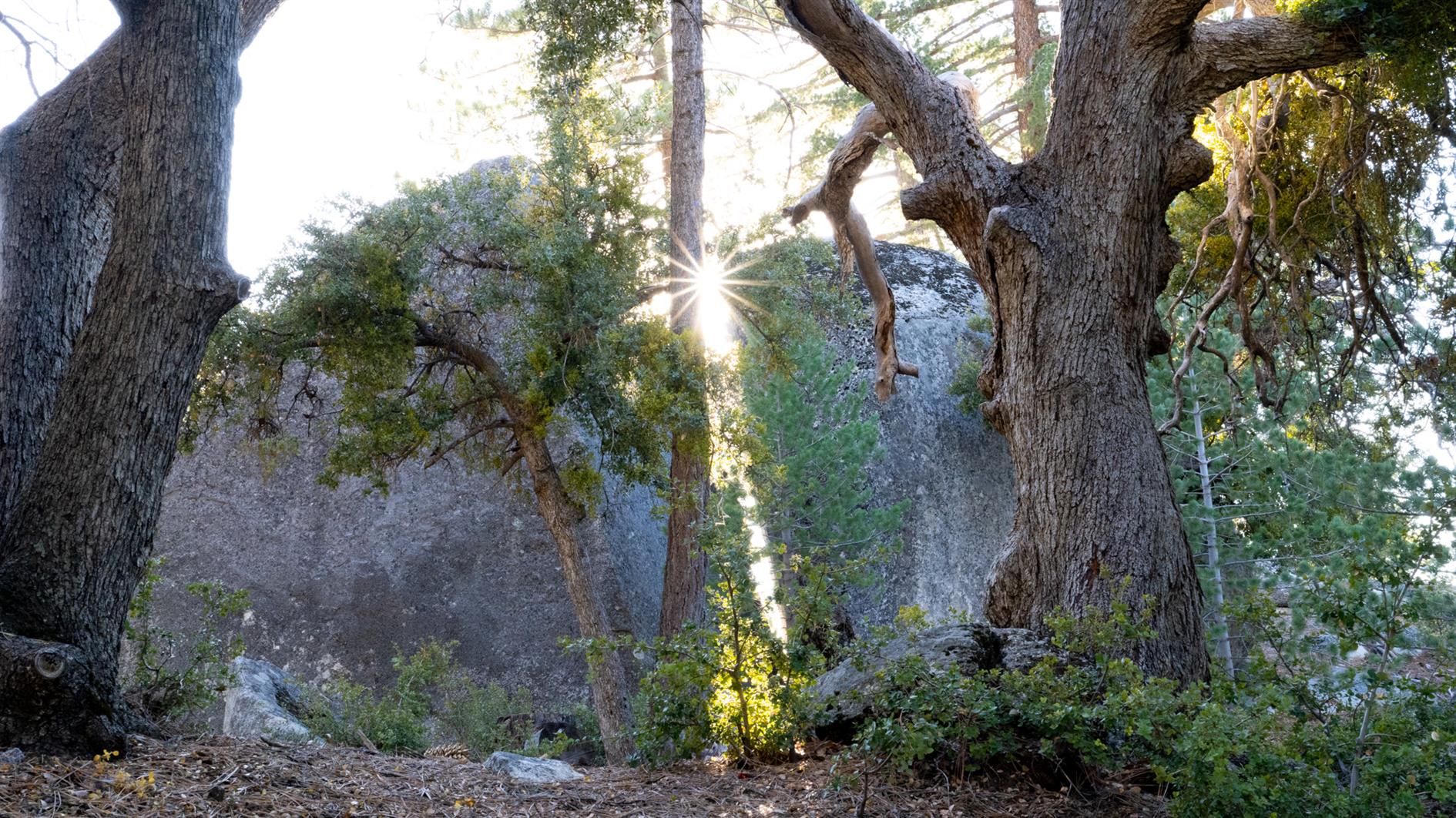
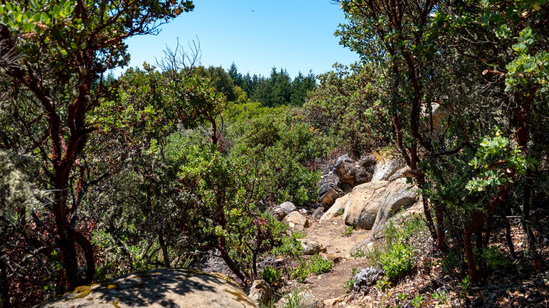
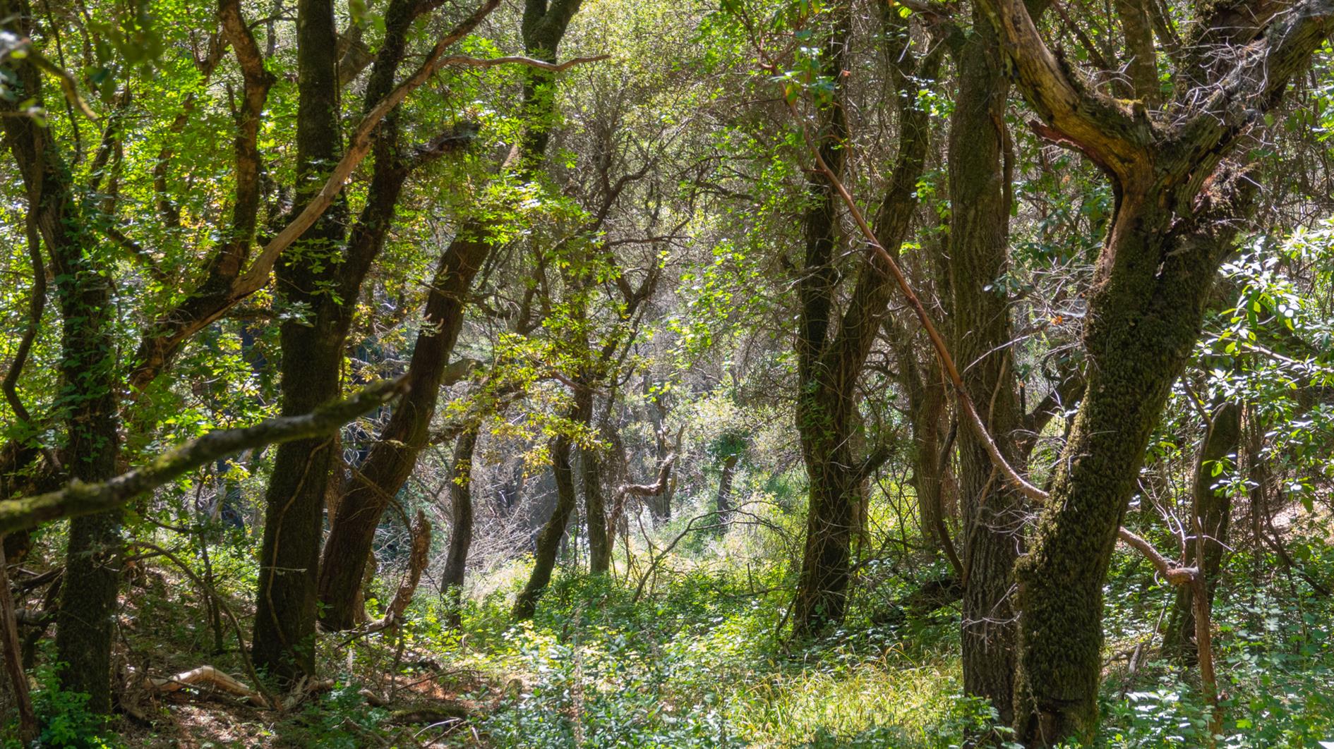
Four and a half mile hike from Stone Creek Campground in Mount San Jacinto State Park to the ruins of a sawmill and back again. The mill is hidden but watch out for a yellow sign off the trail.
The campground was closed for the season when we arrived and a permit is required. We phoned the ranger station who said the trail was off limits and to come get a permit and discuss other hikes. After much discussion it turned out the concern was illegal parking near the campground and after promising to find legal parking and walk in we were allowed to complete the hike.
I don't have a GPS track for this one. Usually I download a GPX to Gaia GPS on my phone and use this to follow the trail. Traveling without a laptop I tried to do this from the AllTrails mobile app which wanted a paid upgrade. I have used AllTrails a fair bit so was happy to pay, but even after upgrading you can only download locally to AllTrails, the mobile app won't allow you to generate a GPX. I understand the commercial desire to lock people into their app, but I have used Gaia GPS for years an trust it to not drain my battery or otherwise cause problems when off the beaten track. AllTrails also won't let you copy and paste from hike descriptions (even ones with a long URL to check for road closures in them), and you can't export the route you took either (which I do from Gaia GPS to generate maps and elevation profiles for this blog). So I'll be cancelling that AllTrails subscription and have learned to get an export from a laptop and ignore the mobile app.
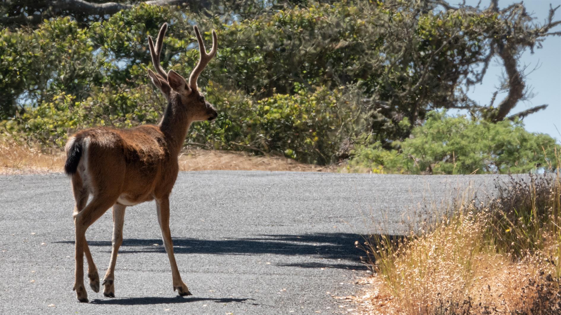
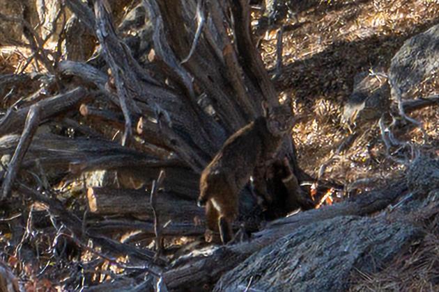
Saw a bobcat which is a first. Probably due to the trail being closed and quiet.