Bolinas Point Loop
By Robert Ellison. Updated on
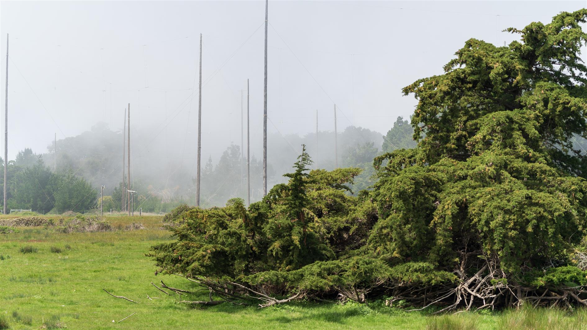
Short and fairly flat loop above Bolinas in California. Plenty of cows. Comes back past Commonweal which is a retreat center. The area used to be a Marconi Telegraph transmitting station and there are a lot of poles and concrete anchor points dating from that.
Hike starts at: 37.918301, -122.720442. View in Google Earth.
Add Comment
All comments are moderated. Your email address is used to display a Gravatar and optionally for notification of new comments and to sign up for the newsletter.