Clikapudi Loop
By Robert Ellison. Updated on
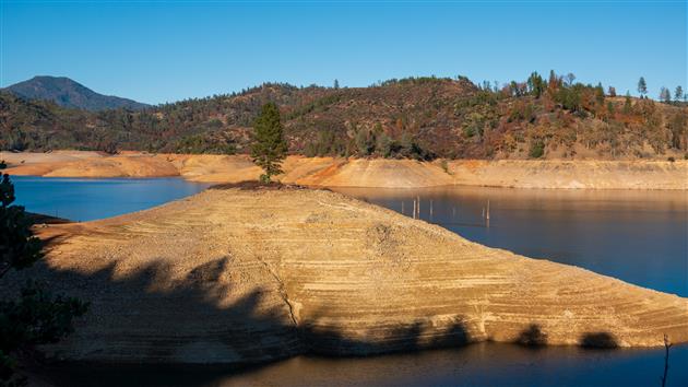
A fairly long loop, just over seven miles, next to Shasta Lake. Clikapudi means 'to kill' in Wintu and the name refers to an 1800's battle between local traders and the Wintu Indians. Great views of the lake and some pleasant forest sections. Probably could have done with knocking off a few miles of going around inlets but worth the visit.
Hike starts at: 40.738557, -122.215905. View in Google Earth.

Add Comment
All comments are moderated. Your email address is used to display a Gravatar and optionally for notification of new comments and to sign up for the newsletter.