Adobe Creek
By Robert Ellison. Updated on
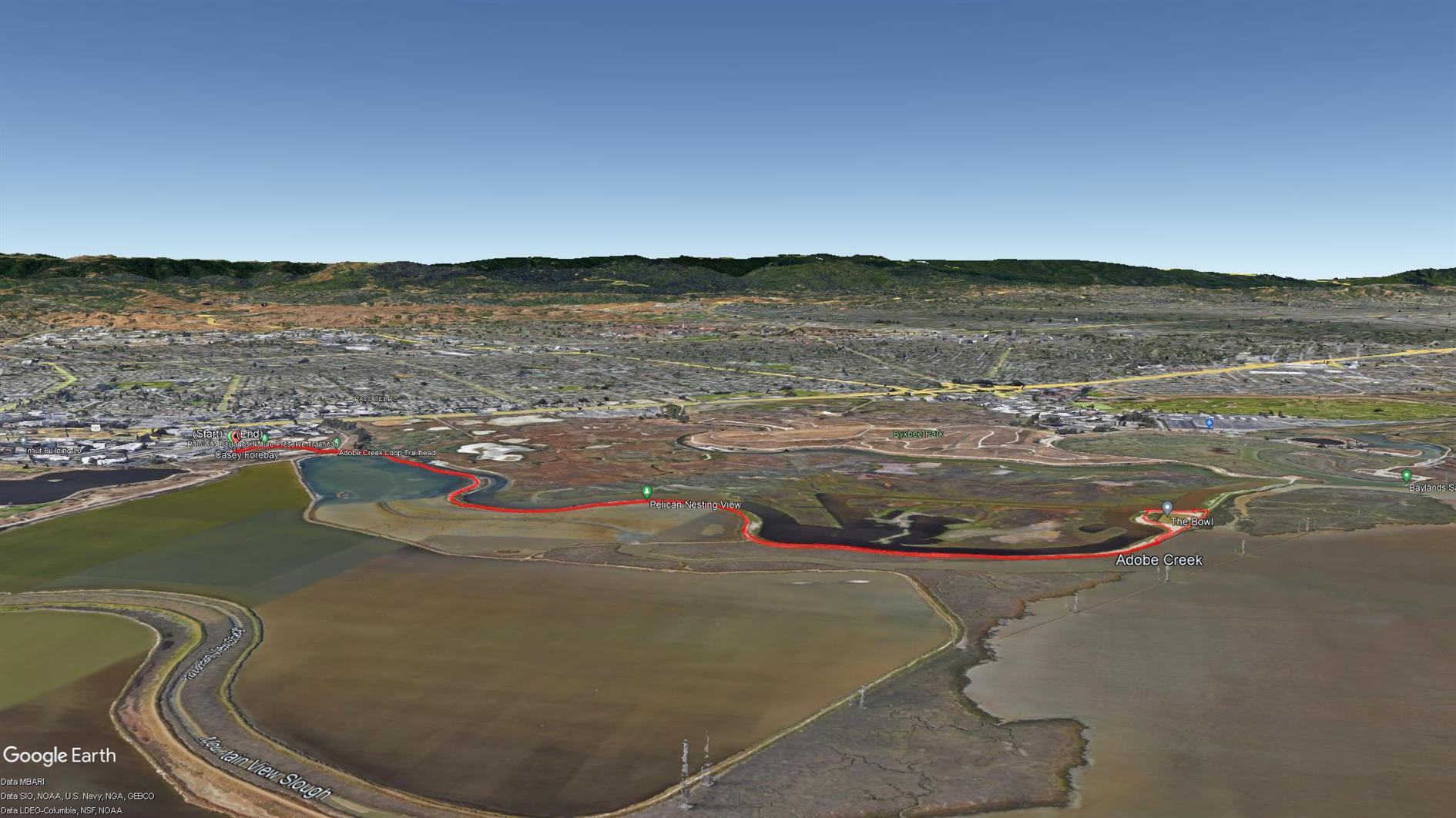
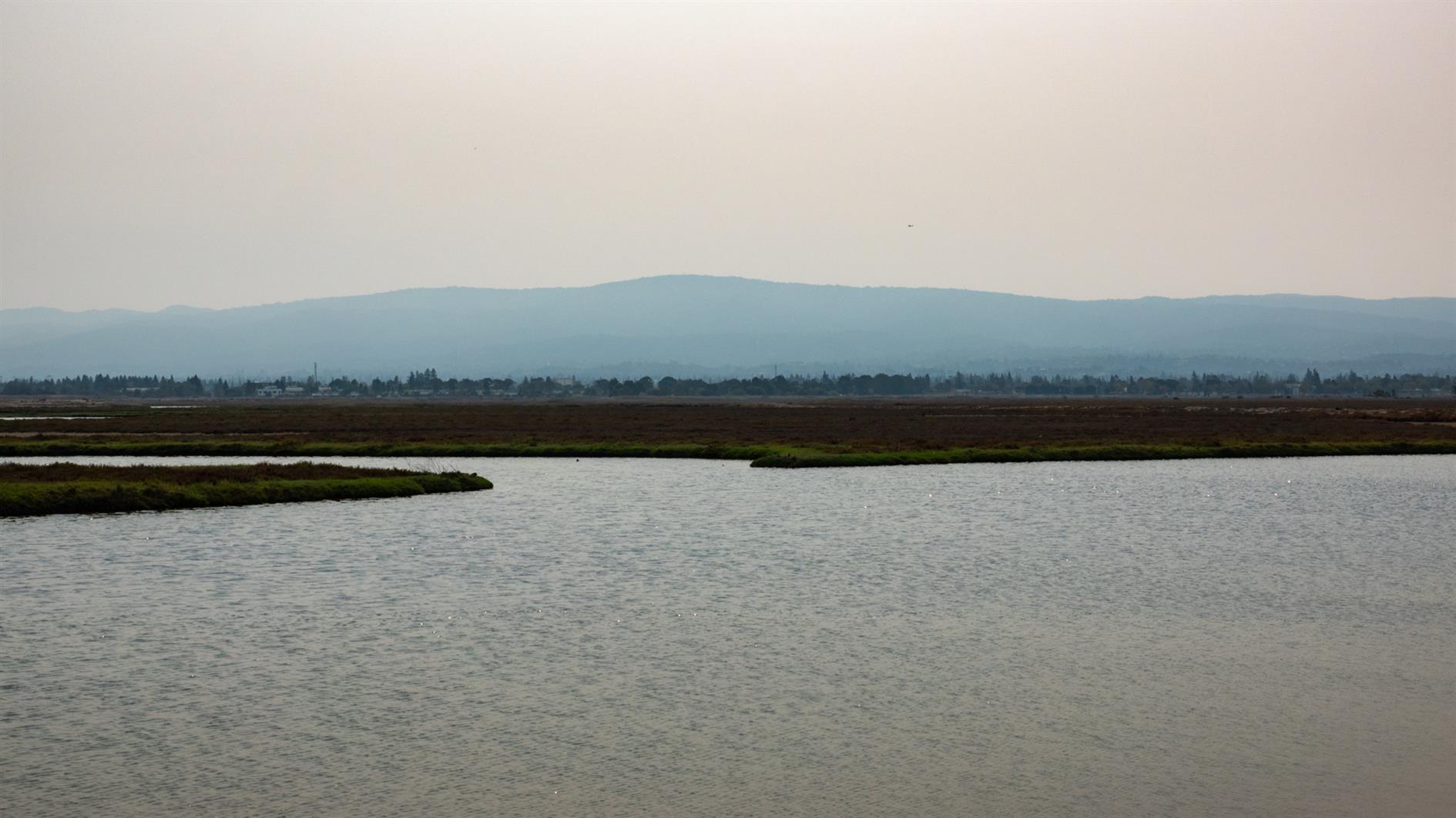
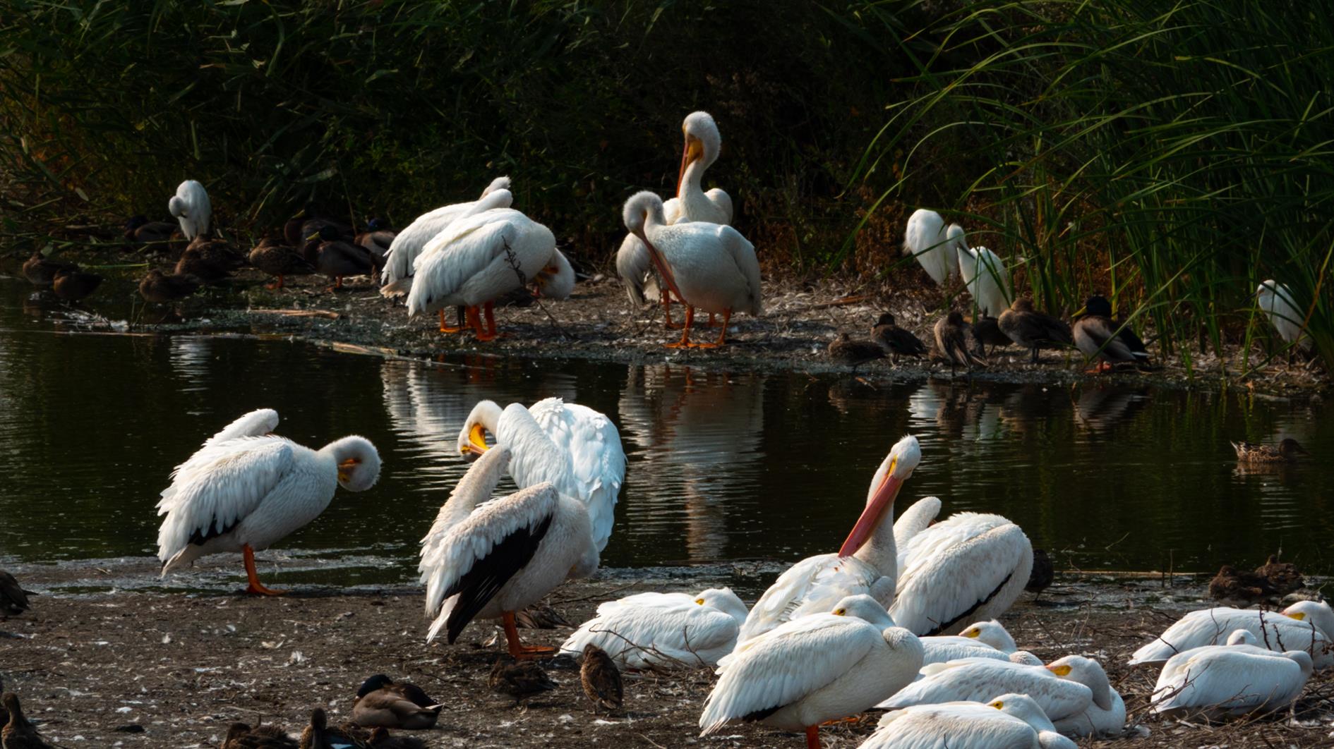
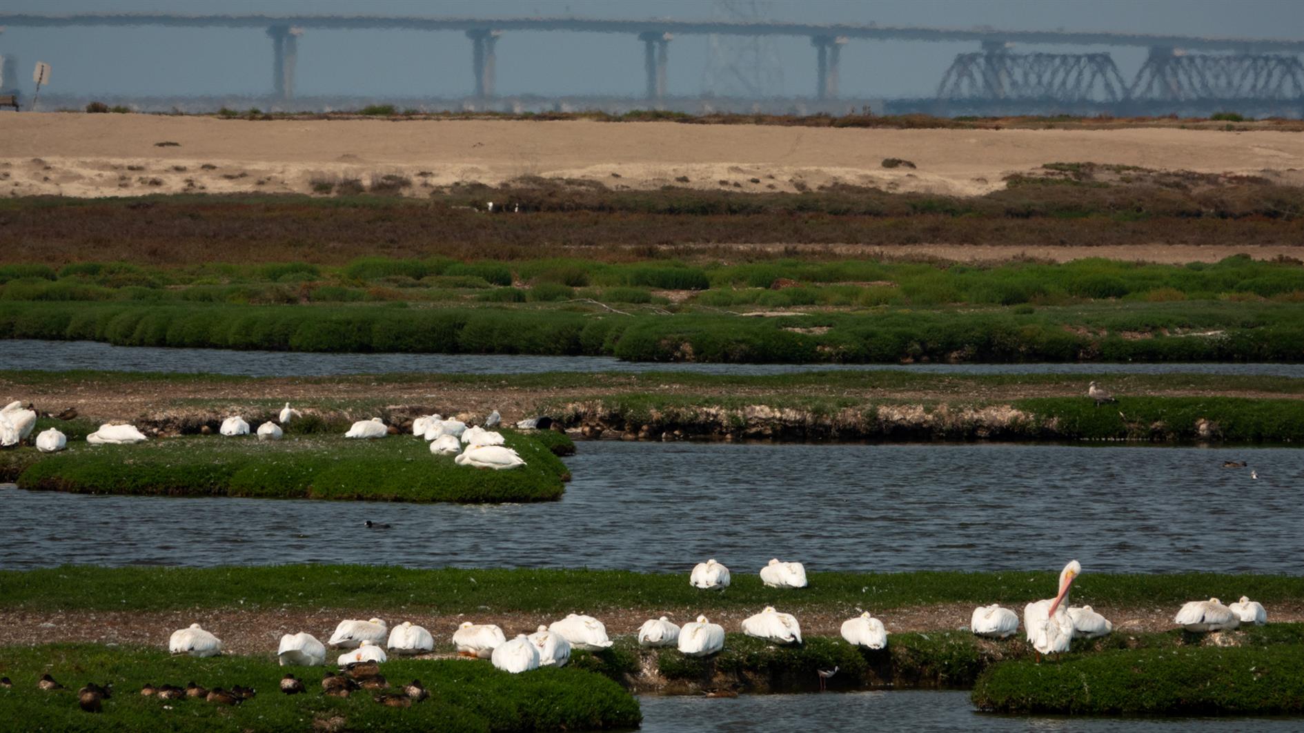
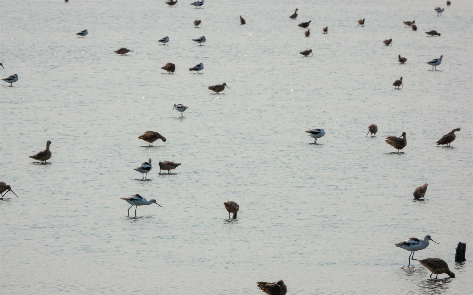
A four mile out and back hike from the Palo Alto Baylands Nature Preserve trailhead. Interesting wetlands with lots of birds and some good views over the bay.
Hike starts at: 37.433507, -122.098799. View in Google Earth.
Add Comment
All comments are moderated. Your email address is used to display a Gravatar and optionally for notification of new comments and to sign up for the newsletter.