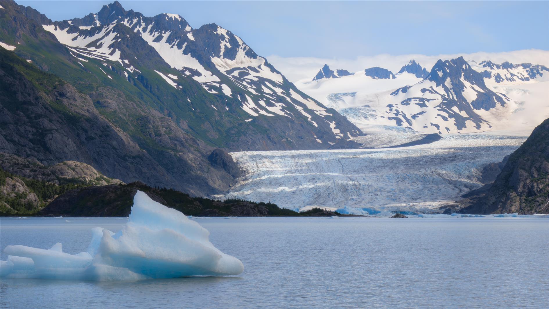
Hike to the Grewingk Glacier in Kachemak Bay State Park. Inaccessible by car, so it's a boat ride from Homer to across the trail and pick you up at the other end. Lots of varied forest and then the glacier is incredible.
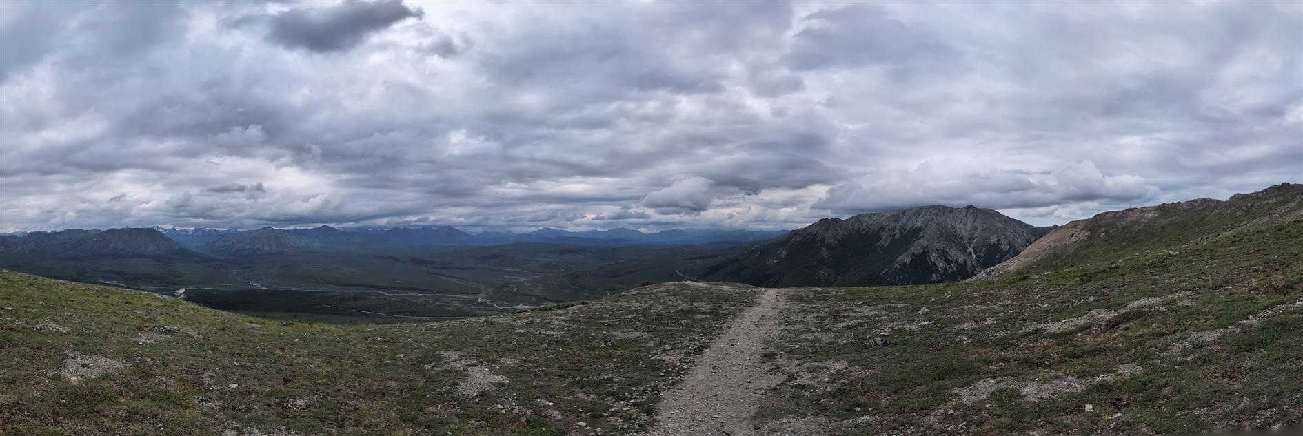
One way four mile trail from Savage Campground to Savage River in Denali National Park. There is a free shuttle bus back (and to the entrance area if no parking deeper in the park). This direction is 1,500 fet up and then 1,700 down with the descent in just a mile and a half. Fantastic variety of terrain and scenery.
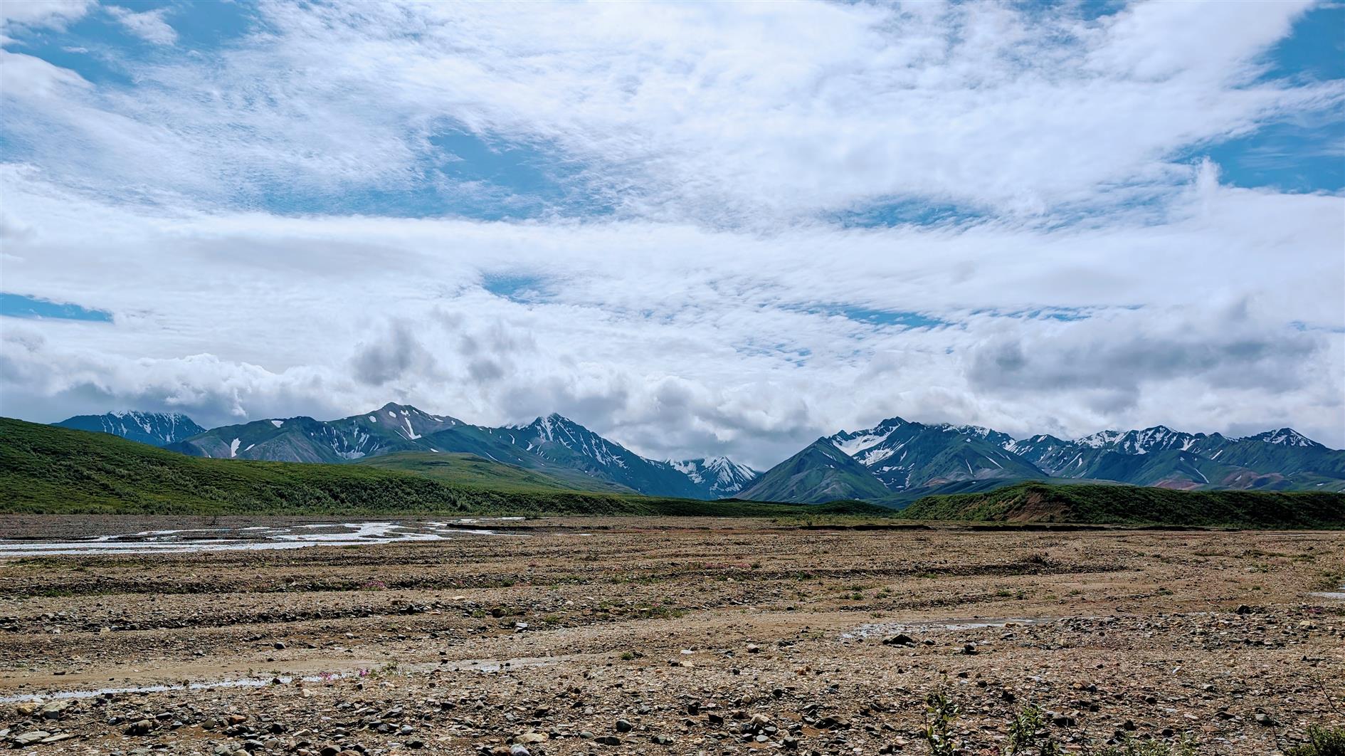
Four mile out and back hike along the Toklat River in Denali National Park. No trails in this part of the park, just pick a direction and go. Until a bridge is repaired this is the last stop on the park road bus route.
Sunset Dunes is the newest park in San Francisco, created in the November 2024 election by a controversial ballot measure. It's a two mile stretch of the Great Highway that was often closed due to drifting sand. The road was also closed to traffic during the pandemic, a move popular enough to get enough support to convert it to a full time park. Many people are mad with this development due to traffic spilling onto neighboring streets and increased commute times, to the extent that there is a recall campaign against the local supervisor. I'm bored of recall campaigns and NIMBYs and voted in favor of the new park.
The video below is a hyperlapse of the two miles from the Golden Gate Park to Sloat Boulevard through Sunset Dunes and then the two miles back on Ocean Beach.
Not much has changed since the pandemic experience. This isn't surprising as the ballot measure didn't add any funding for the park. The two sides of the original Great Highway are divided into a slow lane and a fast lane which makes sense. There are a few street murals and art installations dotted along the road which are fine but seem beside the point. I hope this remains as a safe space to cycle, scoot, board and stroll.
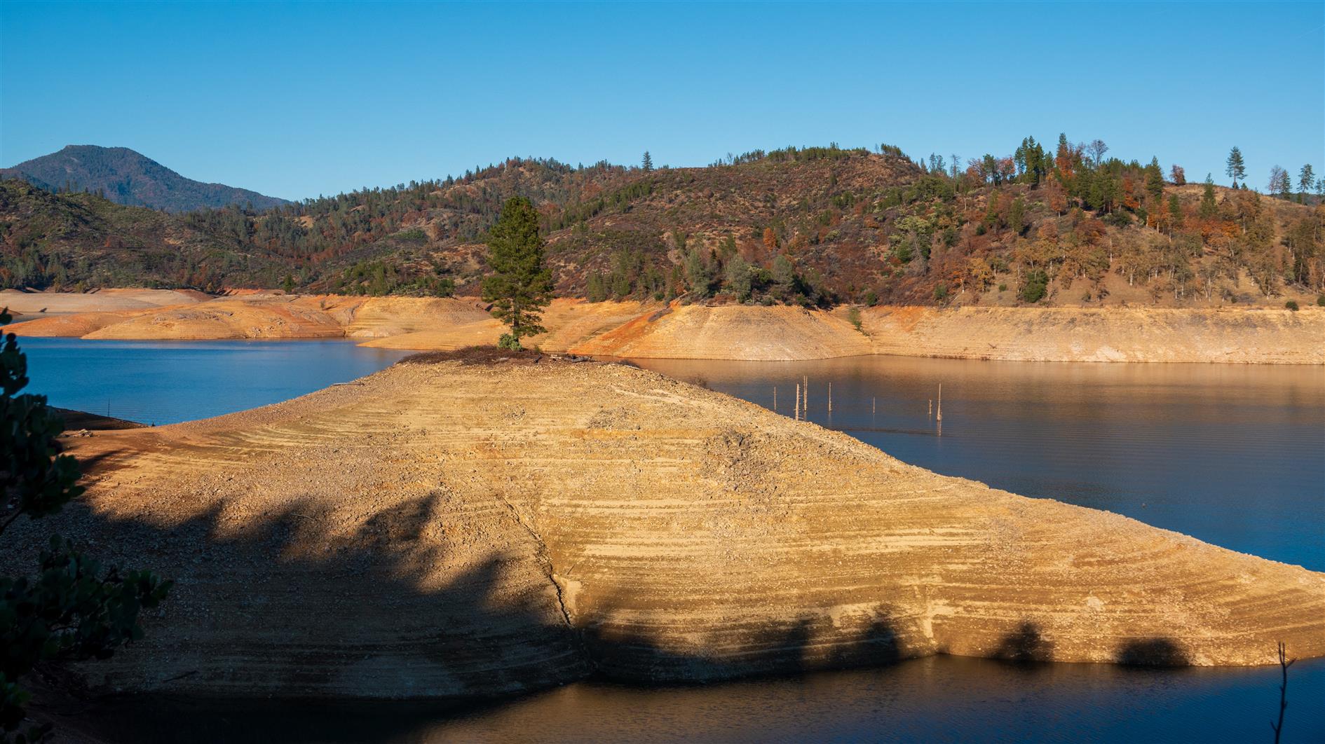
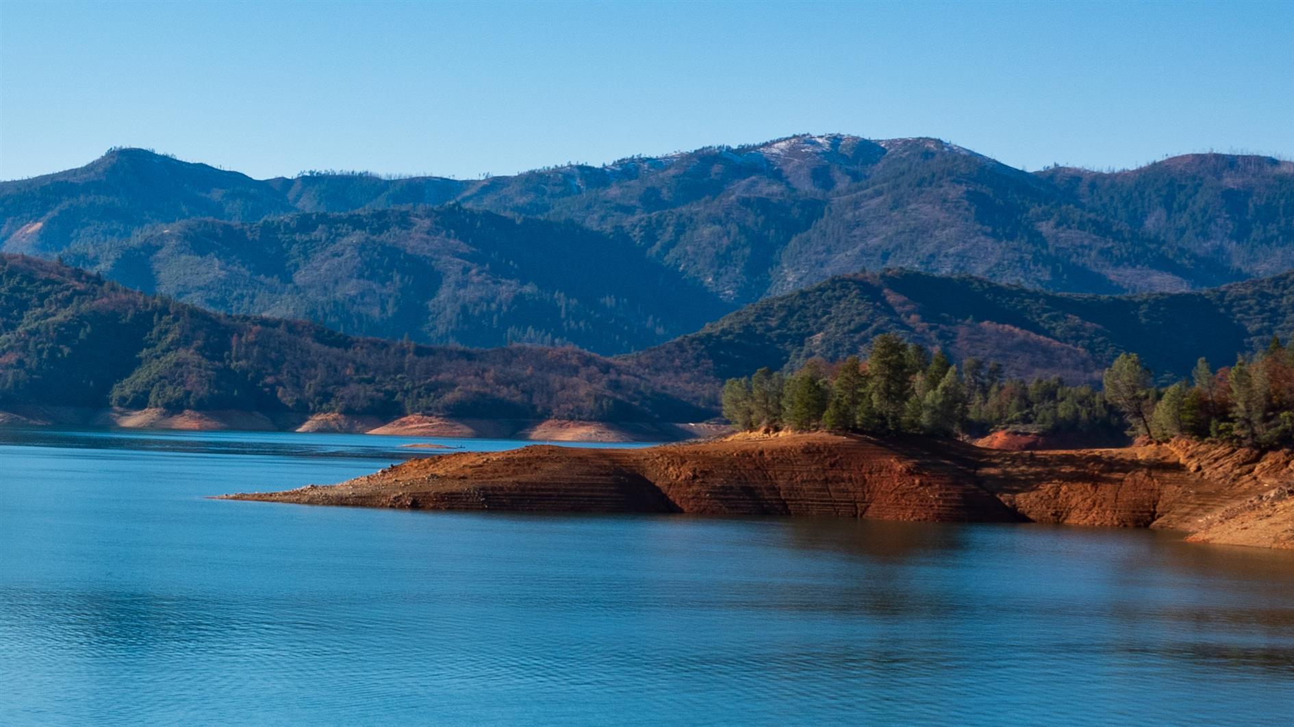
A fairly long loop, just over seven miles, next to Shasta Lake. Clikapudi means 'to kill' in Wintu and the name refers to an 1800's battle between local traders and the Wintu Indians. Great views of the lake and some pleasant forest sections. Probably could have done with knocking off a few miles of going around inlets but worth the visit.
Short 3.5 mile loop trail next to Shasta Lake. There is a nice spot to have lunch near the water half way round. The final stretch is on a twisty road with no sidewalk but overall a pleasant hike with a range of terrain and views.
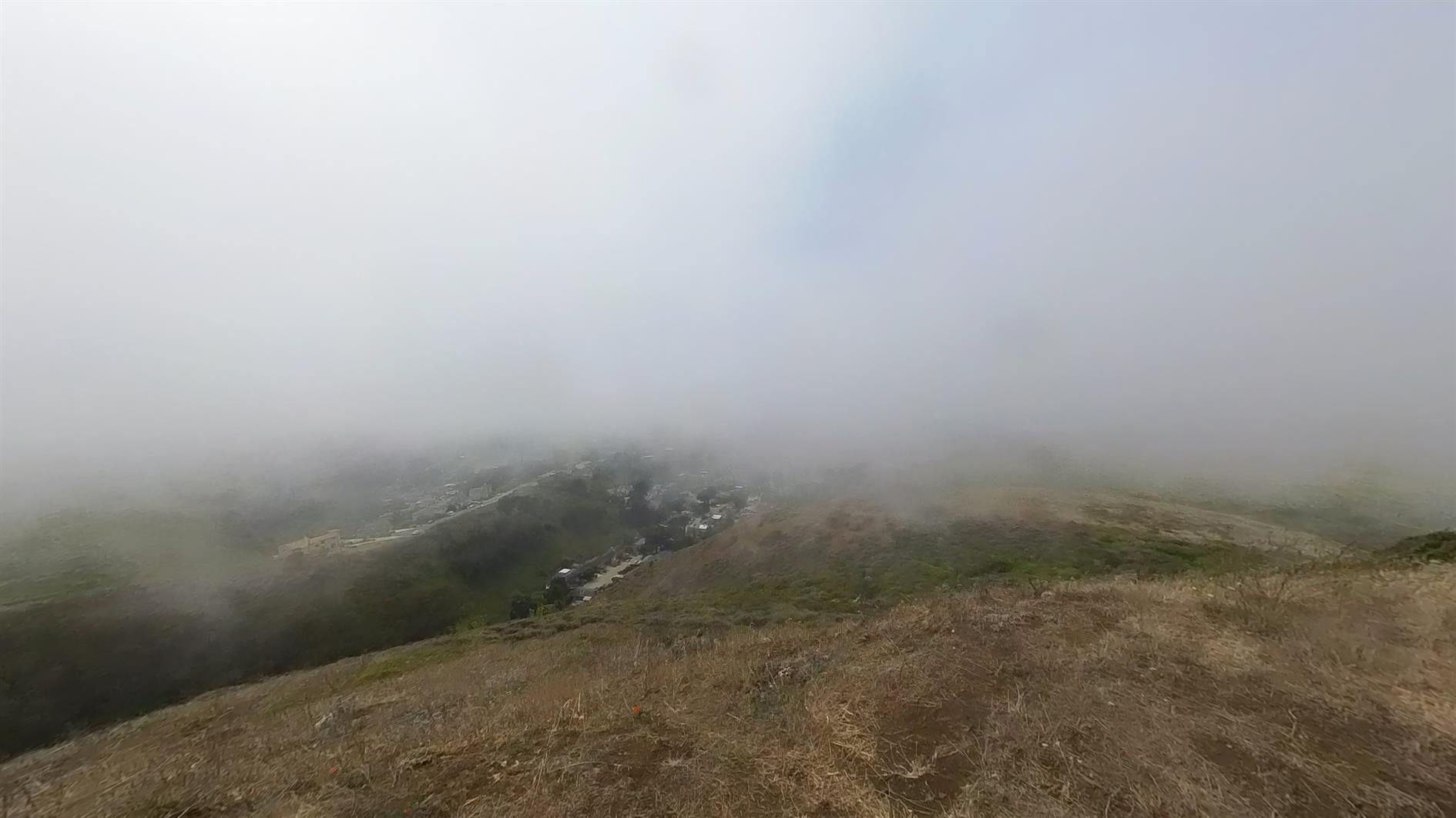
Starting from this parking area makes for a brisk walk up to Milagra Ridge and then a nice loop at the top before returning by the same trail. Milagra Ridge used to be a Nike missile site (SF-51), still has some WWII remains (Battery #244) and a reservoir. I thought it looked like a nice enough day to brave Pacifica but by the time I'd loaded the dog and driven down the fog had swept in. Still a pleasant 3 mile hike.
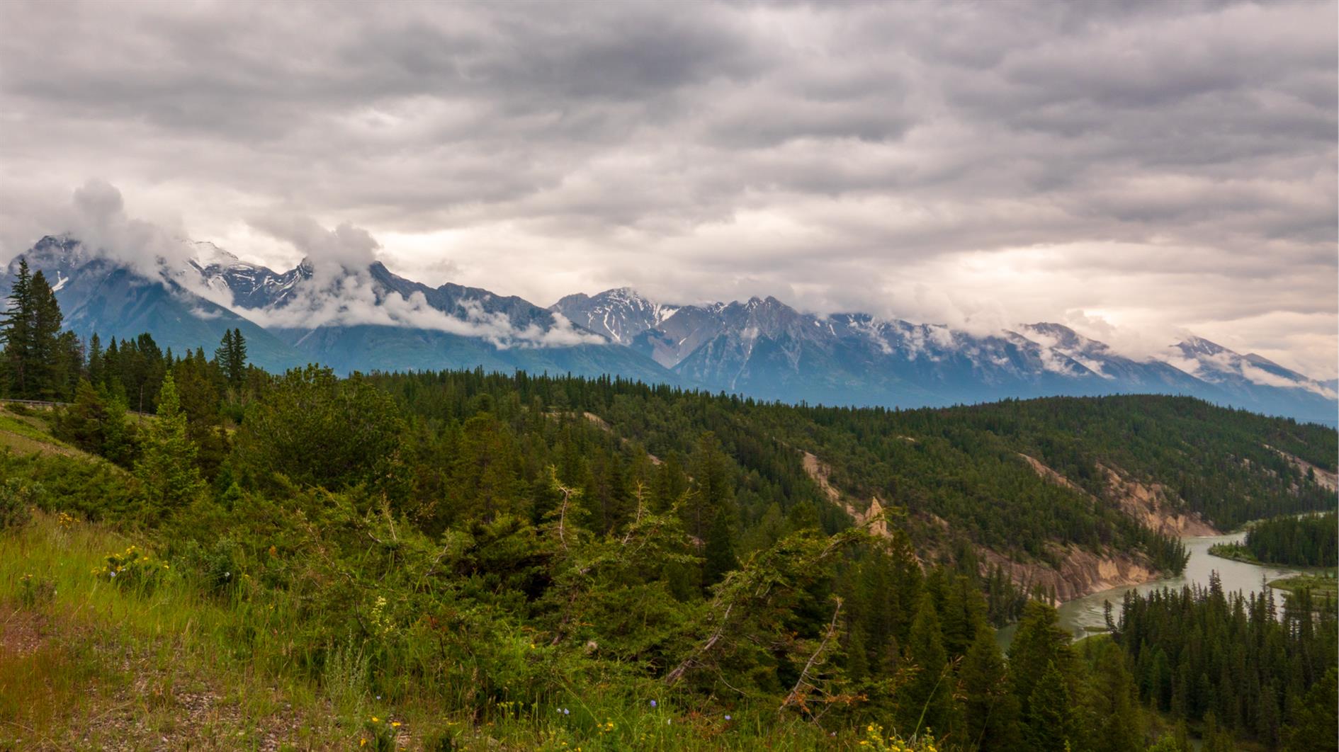
Hike from Banff to the Hoodoos on the Bow River, then around the back of Tunnel Mountain and back to Banff. Clearly you could close the loop but in this case we had some well deserved ice cream and then got the bus back.
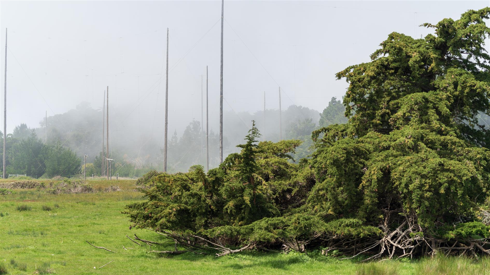
Short and fairly flat loop above Bolinas in California. Plenty of cows. Comes back past Commonweal which is a retreat center. The area used to be a Marconi Telegraph transmitting station and there are a lot of poles and concrete anchor points dating from that.
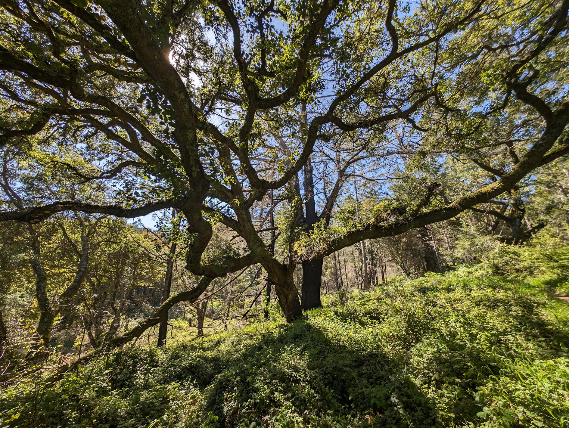
Five mile loop hike from the Bear Valley visitor center to Mount Wittenberg and back. Great day for it with clear skies and a mini heatwave. Lots of tree cover and a fairly undulating climb although it gets pretty steep towards the top. Some rewarding views over Point Reyes before scrambling back down again.