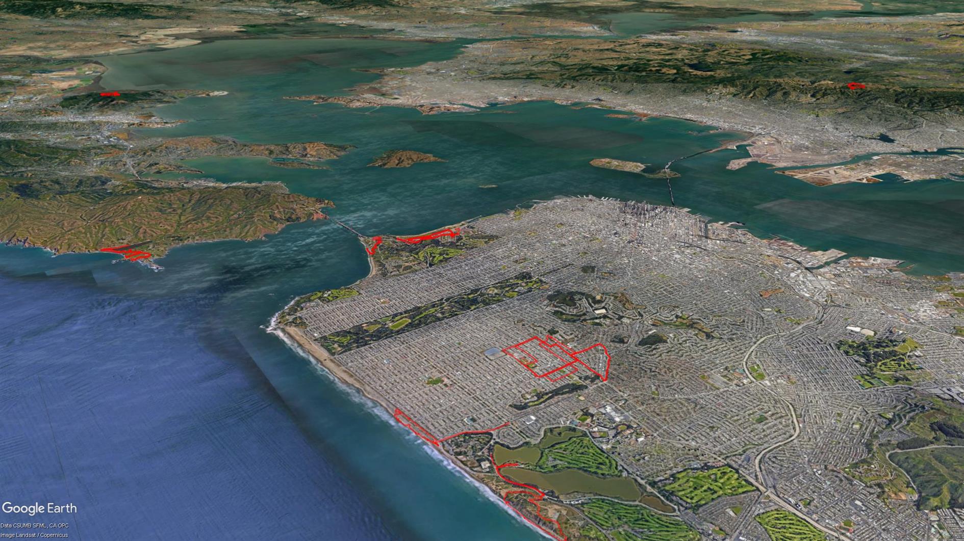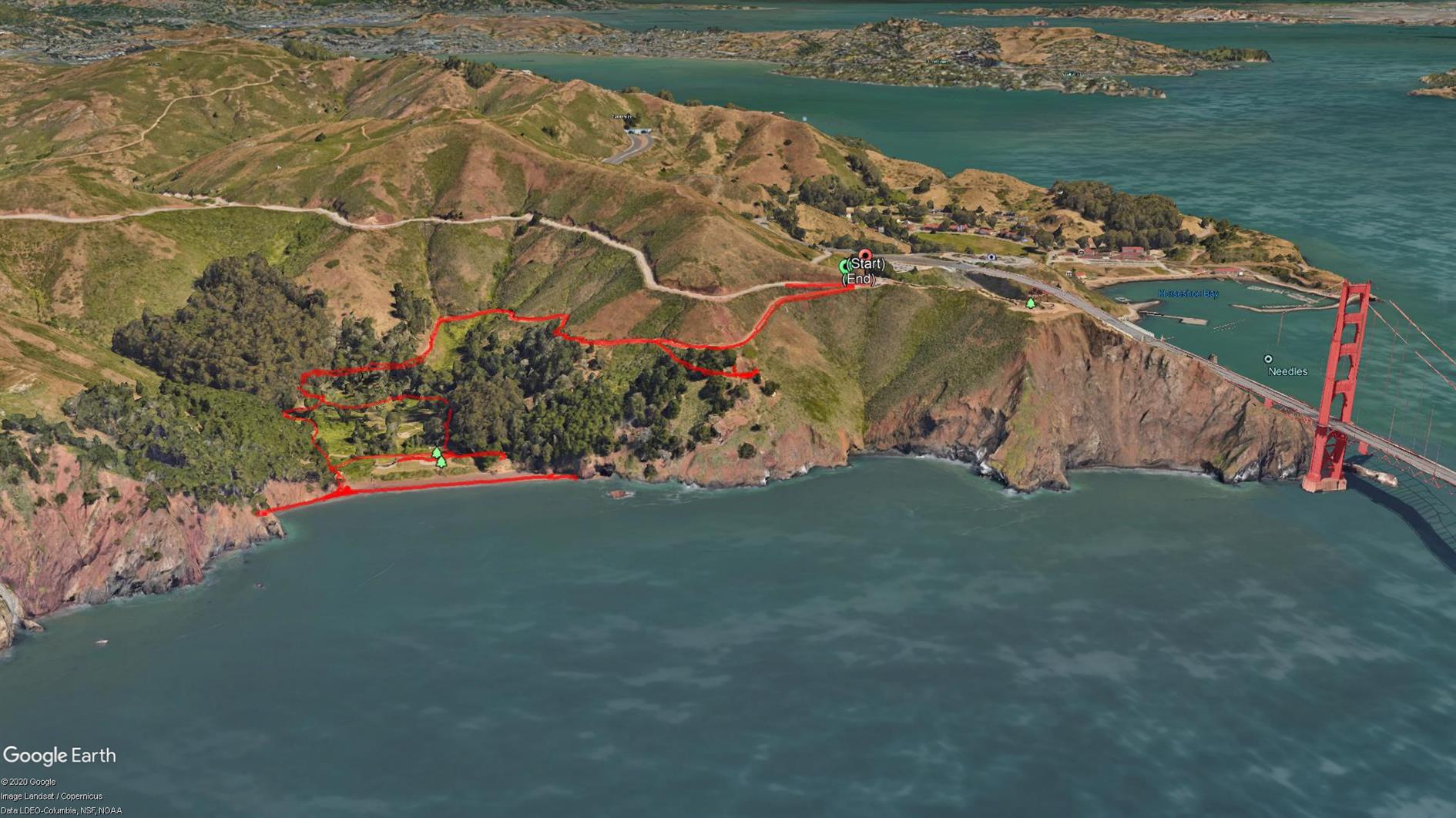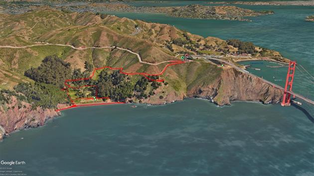

A short two mile out and back from the Battery Spencer parking area on Conzelman Road to Kirby Cove.
The Marin Headlands have had a bit of a traffic management change recently so you need to go through the tunnel to get in and Conzelman Road is now one way back to highway 101. The advantage is that there is way more parking then there used to be. I think I've only ever managed to park near Battery Spencer once in 20 years.
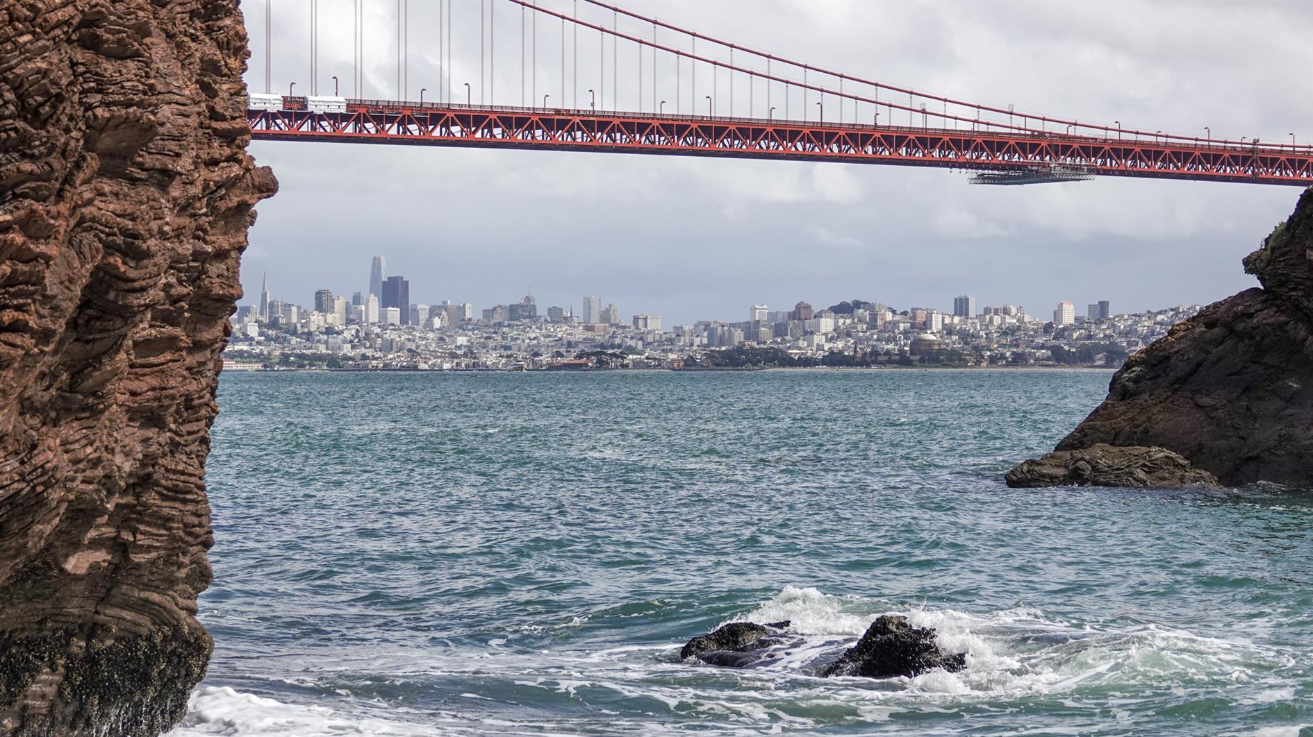
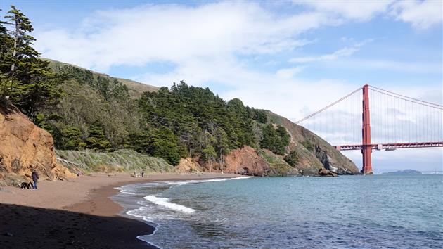
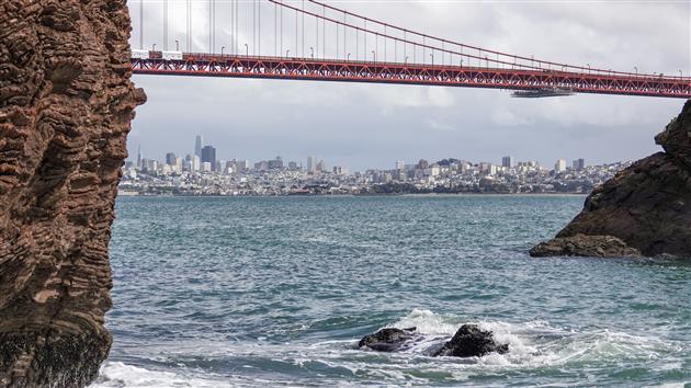
The walk is my least favorite profile, downhill to start and uphill on the way back and also not a loop. It's worth it though because it's short and Kirby Cove beach is quiet and has wonderful views of San Francisco through the Golden Gate Bridge. You can also visit Battery Wagner and Battery Kirby on the way back up.
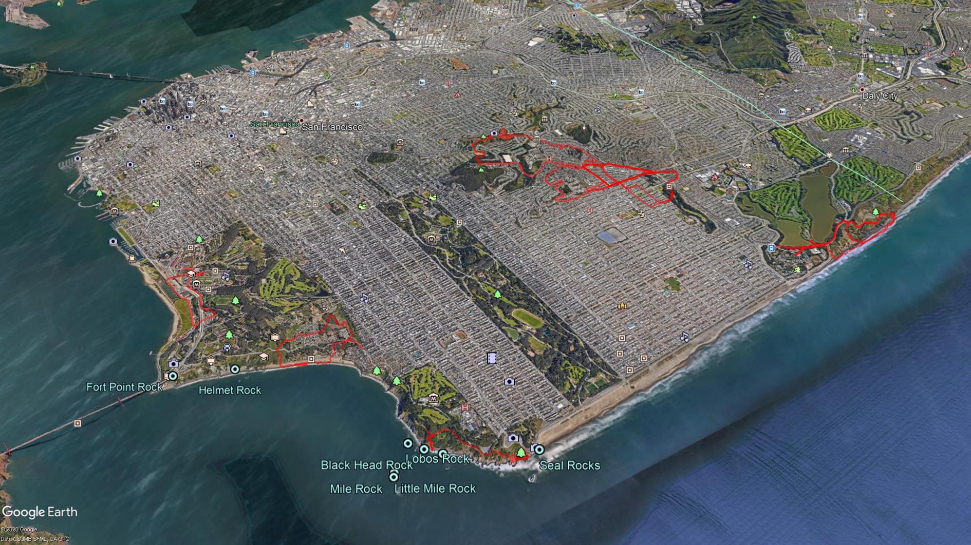
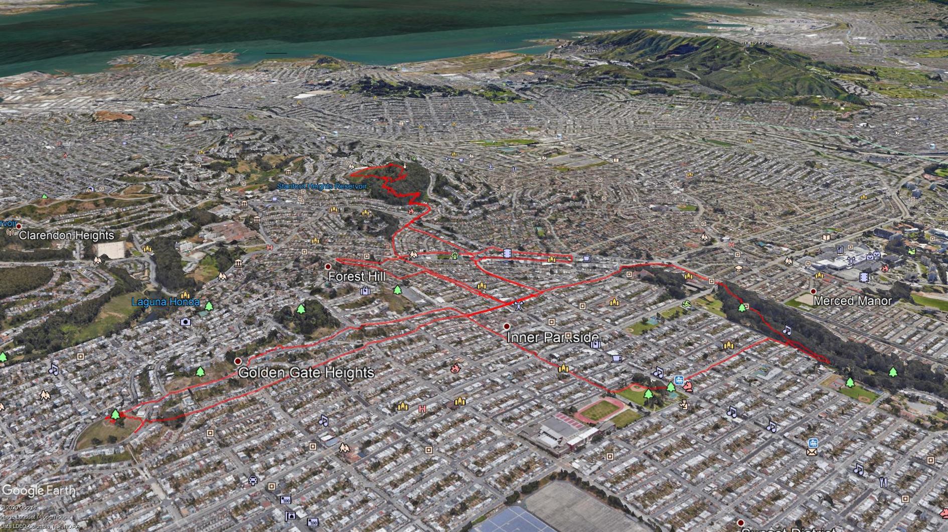
Hike starts at: 37.829459, -122.48401. View in Google Earth.