Abrigo Valley
By Robert Ellison. Updated on
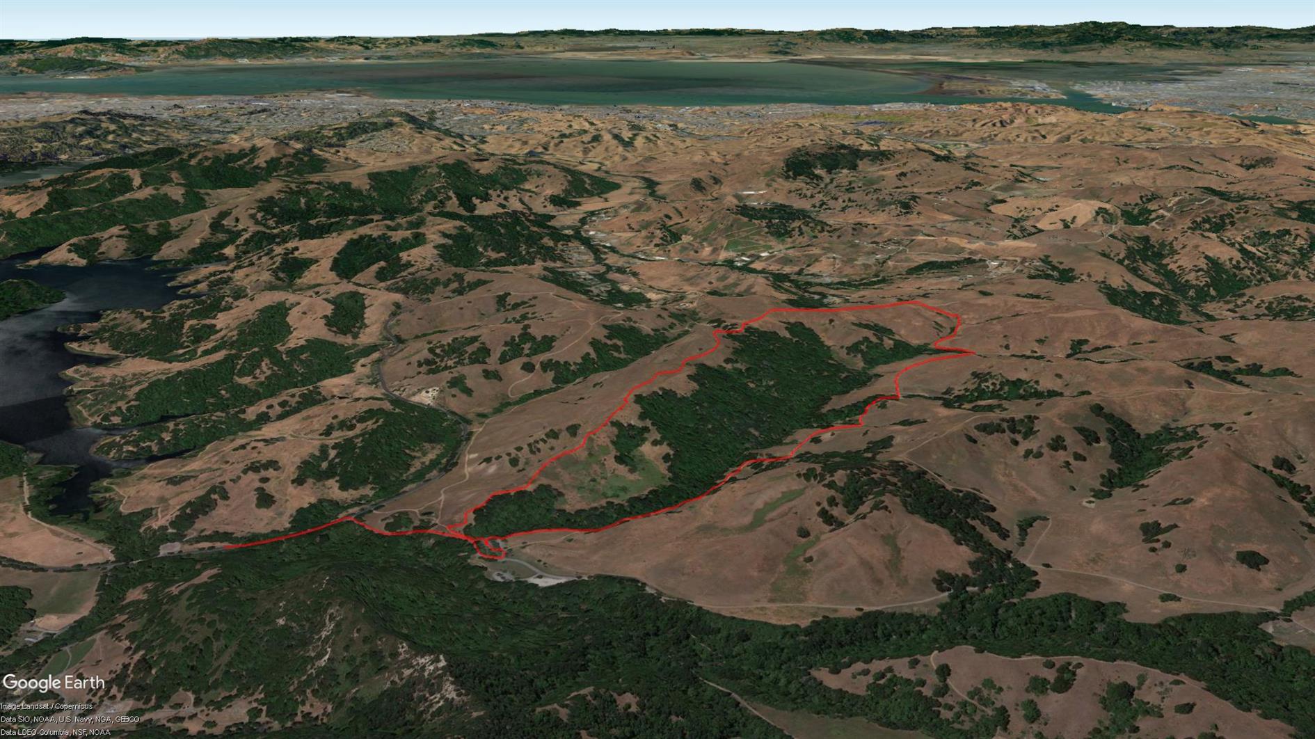
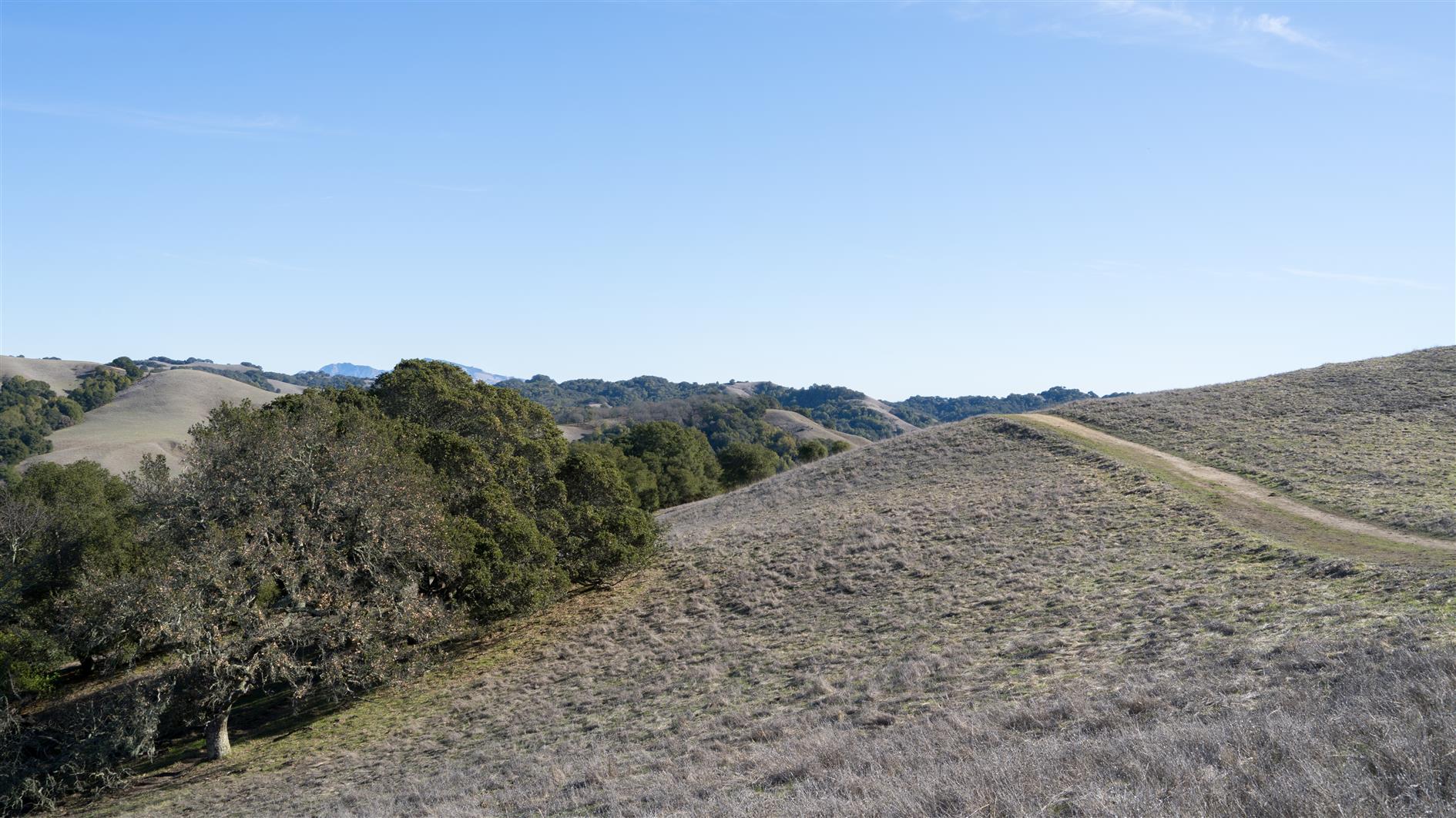
Abrigo Valley Trail to Santos Trail returning on Briones Crest Trail, a pleasant three and a half mile hike in Briones Regional Park.
(Previously: Mariposa Loop)
Hike starts at: 37.927261, -122.158768. View in Google Earth.
Add Comment
All comments are moderated. Your email address is used to display a Gravatar and optionally for notification of new comments and to sign up for the newsletter.