Coronavirus Hikes: March 2020
By Robert Ellison.
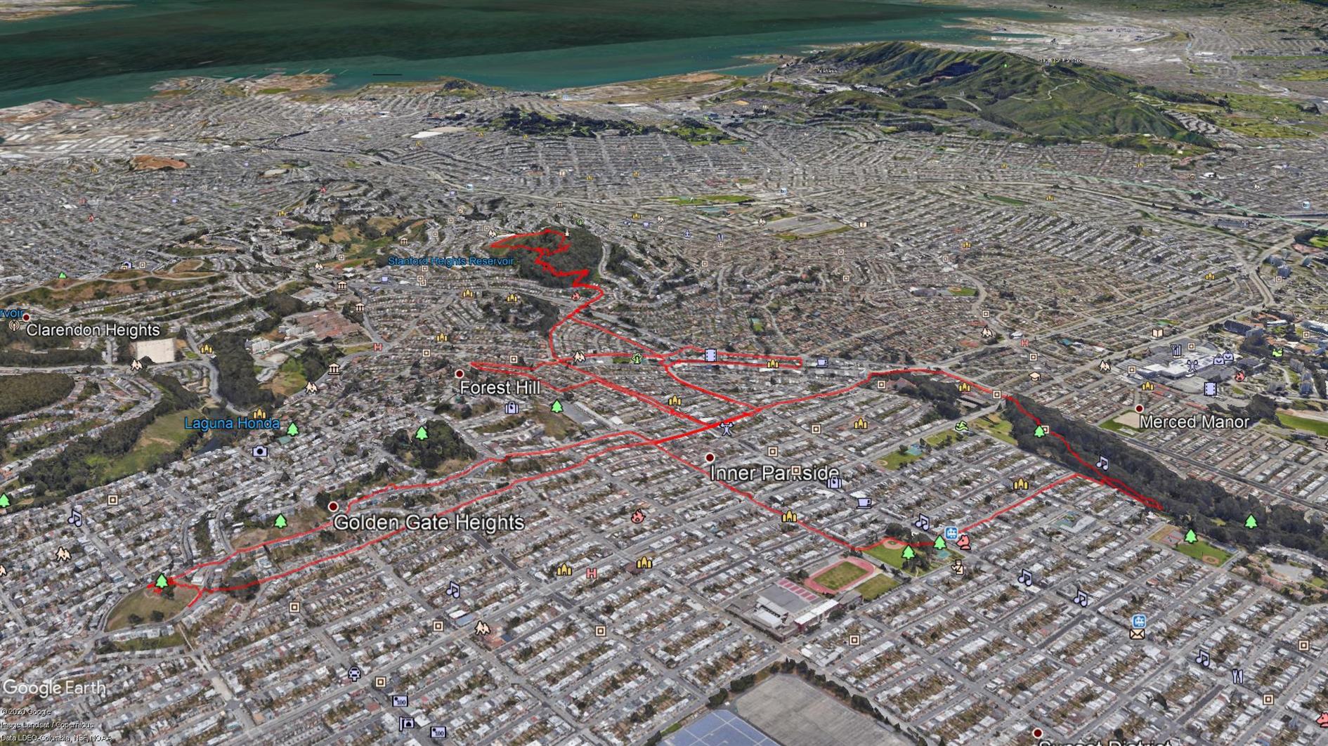

Not getting far from home any time soon so all hikes for now will be local. I found a great web app, Routeshuffle, that will generate a random hike from the starting location of your choice. It's a great way of seeing streets you'd never venture down normally. The map is generated with some software I wrote to combine multiple KML files for easy rendering in Google Earth (oh, and Google Earth, I guess that does the heavy lifting). I'll post these every month while we're locked down. March is 15.6 miles total.
Hike starts at: 37.800778, -122.455943. View in Google Earth.
Add Comment
All comments are moderated. Your email address is used to display a Gravatar and optionally for notification of new comments and to sign up for the newsletter.