I Thought He Came With You (ITHCWY) is Robert Ellison's blog.
Adobe Creek
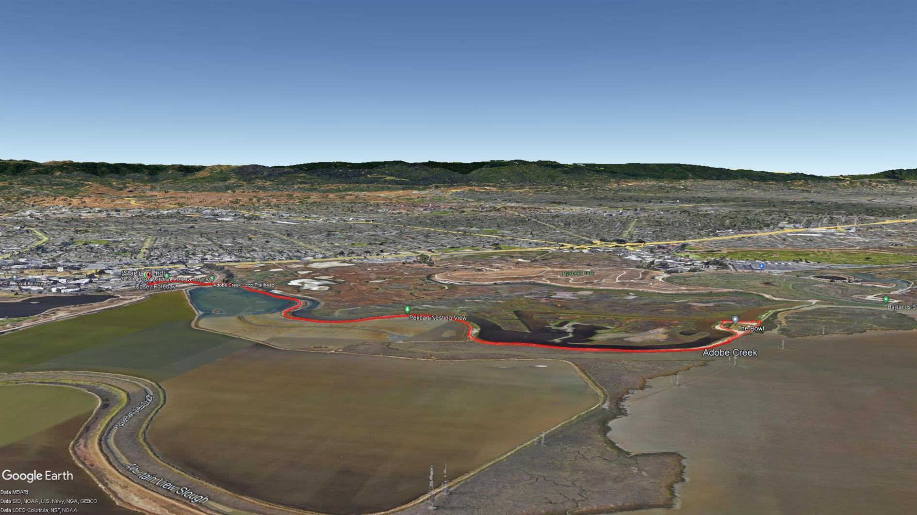
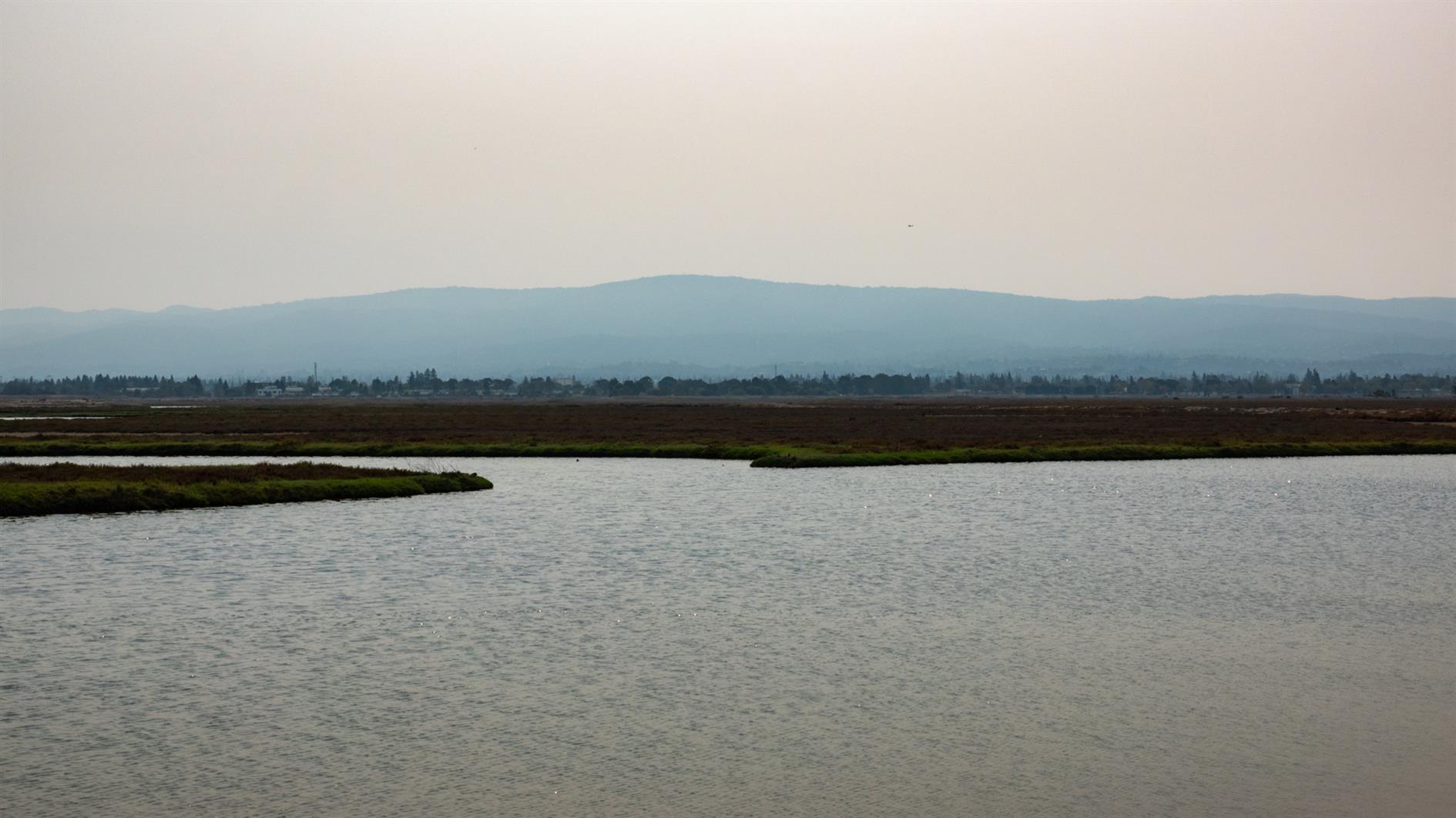
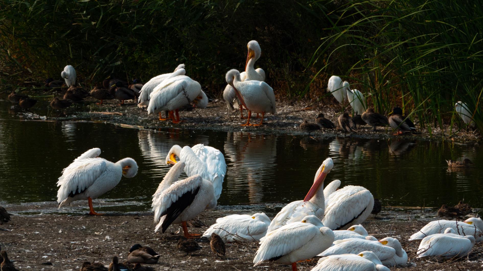
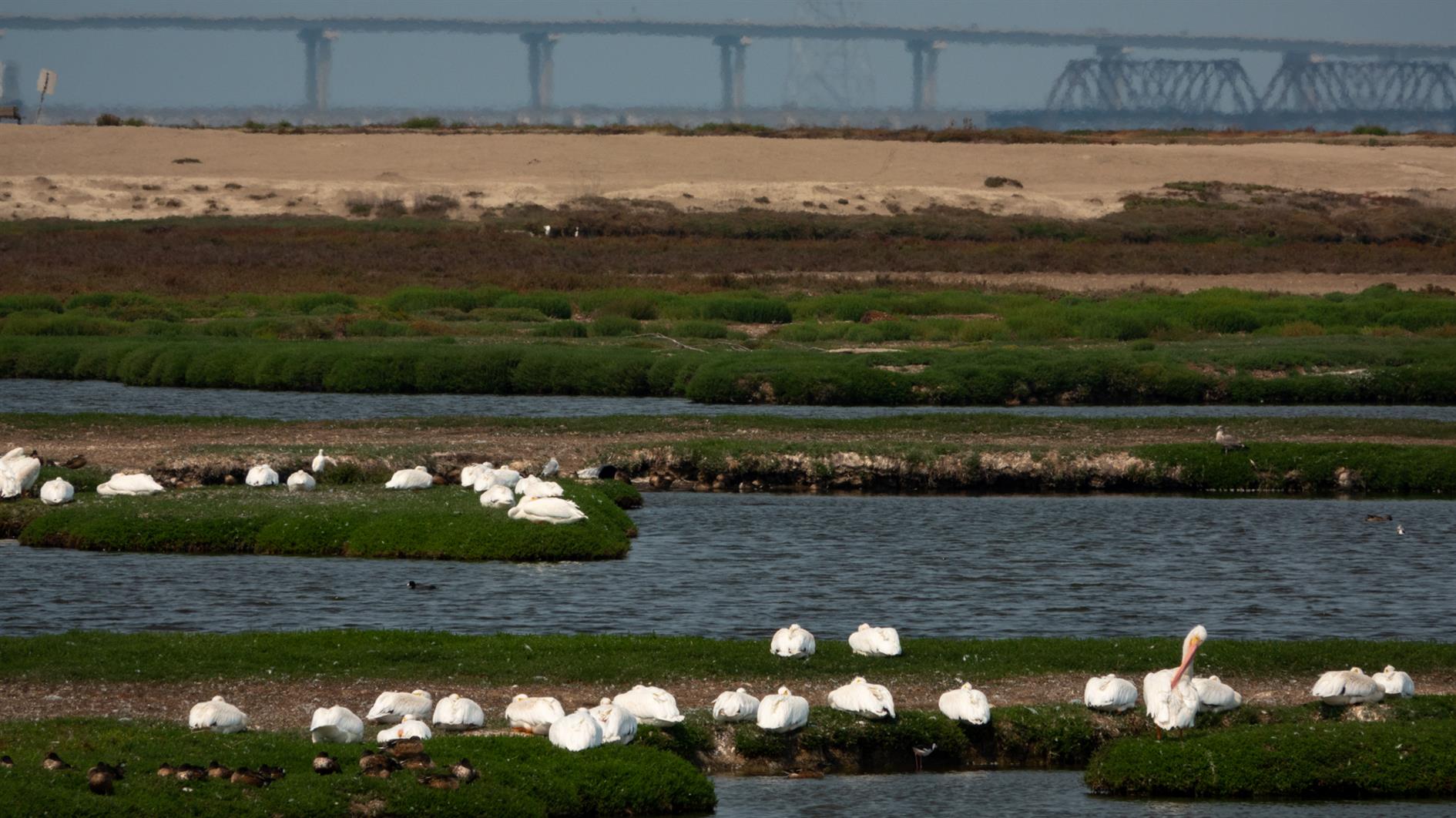
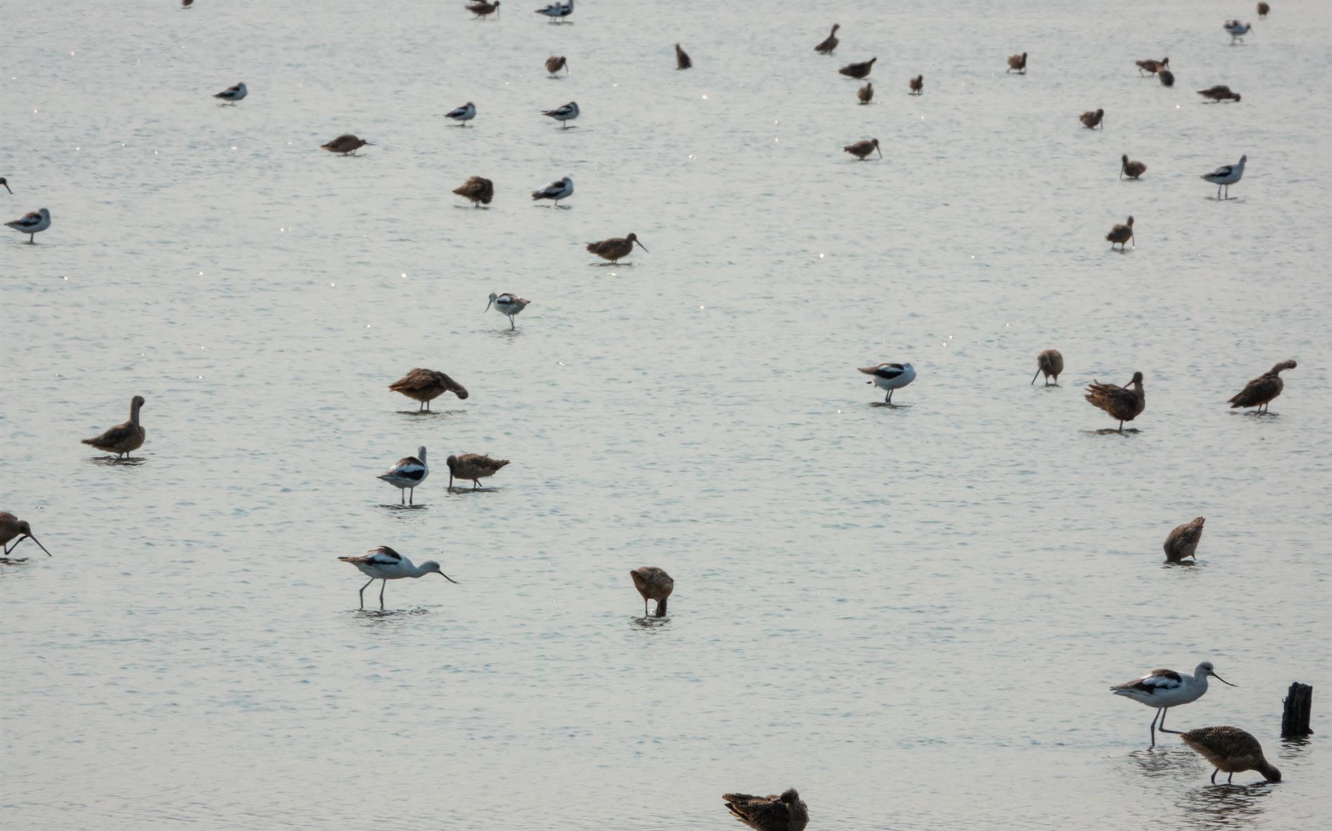
A four mile out and back hike from the Palo Alto Baylands Nature Preserve trailhead. Interesting wetlands with lots of birds and some good views over the bay.
Hike starts at: 37.433507, -122.098799. View in Google Earth.
Related Posts
(Hike Map)
(Published to the Fediverse as: Adobe Creek #hike #paloalto #pelican #map Four mile hike in the Palo Alto Baylands Nature Preserve, California. Wetlands with many birds and bay views. )