Wave Organ
Updated on Friday, February 24, 2017
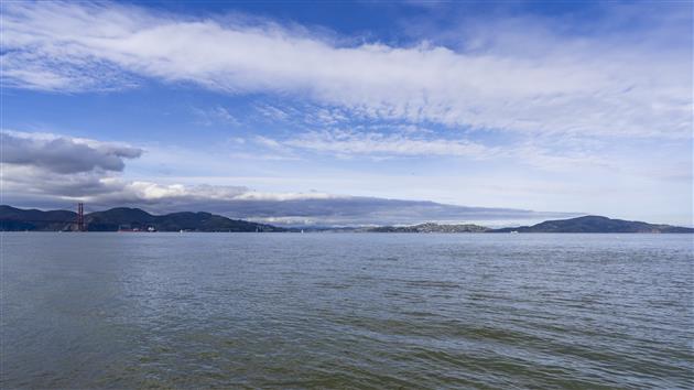
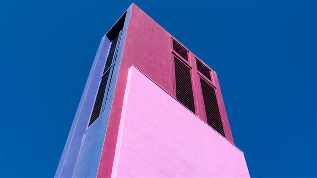
Like the Internet, The Wave Organ is a series of tubes. Unlike the Internet it groans at you in different ways as the tide comes in and out. It’s also a nice walk on a blustery day with great views around the bay and back over to the Marina.
(Google Earth KML, Google Maps)
Hike starts at: 37.806707, -122.446921.
(Hike Map)
San Francisco 2012 Propositions
Updated on Friday, February 24, 2017
Following yesterday’s post on the California 2012 Propositions here’s a shorter post on how I’m planning to vote on the San Francisco (PDF) ballot initiatives:
A: City College Parcel Tax
Yes, happy to pay another $79 a year to support City College.
B: Clean and Safe Neighborhood Parks Bond
Yes, park improvements for a littler over $50 a year.
C: Housing Trust Fund
Yes, a modest amount of money to include affordable housing in a city that desperately needs it.
D: Consolidating Odd-Year Municipal Elections
Yes, because there are too many elections already.
E: Gross Receipts Tax
Yes, makes more sense than taxing payroll and doesn’t tax businesses until you’re over $1M in revenue (whereas the payroll tax hits pre-revenue startups).
F: Water and Environment Plan
No, this is a study on draining the Hetch Hetchy reservoir. Which is just crazy. I might not support building it today but it makes no sense to look at getting rid of it now. Plus that water is really nice.
G: Policy Opposing Corporate Personhood
Yes, because a San Francisco policy will totally reverse hundreds of years of legal precedent. More seriously, corporations are not people and while a policy won’t reverse the malign influence of unlimited corporate spending on elections it doesn’t hurt to whine about it a little.
Twin Peaks
Updated on Sunday, May 3, 2020
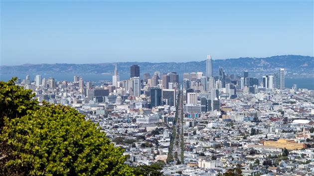
Not much of a hike, but Twin Peaks is about as high as you can get in San Francisco and offers wonderful views on a clear day or night. Park here and then escape the throngs by walking up one or both of the peaks.
We often take guests from out of town up Twin Peaks. The occasion today was a first visit for a new native San Franciscan – Katherine Harper Ellison – seven days old on her first trip up to the top of Noe Peak.
A Red-tailed Hawk hunting over Twin Peaks.
(.49 miles, total elevation gain 201 feet, 25 minutes, average 1.17 mph, view in Google Earth.)
Hike starts at: 37.754849, -122.446607.
(Hike Map)
Fort Funston in the rain
Updated on Saturday, July 18, 2020
(view in Google Earth).
This is the short version of our Fort Funston walk (the long version is here). Depending on the tide and the height of the sand it's sometimes not easy to get past a couple of sewage outlet pipes. Today's walk was wet with a high tide so we turned left at the bottom of the sand ladder and just walked along the beach and back. The longer version is to turn right and complete a three mile loop.
Hike starts at: 37.714211, -122.502257383333.
(Hike Map)
Fort Funston
Updated on Saturday, July 18, 2020
Fort Funston was part of San Francisco's WWII era coastal defenses and is now a dog friendly part of the Golden Gate National Recreation Area.
Rudy pegs it down Sand Ladder Trail - the easiest way down to the beach but no so much fun on the way back up.
Battery Davis.
(2.62 miles, total elevation gain 417 feet, 1 hour 25 minutes (average 1.84 mph), view in Google Earth)
Hike starts at: 37.714383, -122.502167.
(Hike Map)
Golden Gate Park
Updated on Saturday, July 18, 2020
A quick walk around the Golden Gate park, past the Buffalo paddock and stadium.
I only had the camera phone, so this is a very blury picture.
And there are some turtles on this tree, really!
(3.32 miles, total elevation gain 915 feet, 1 hour 14 minutes (average 2.68 mph), view in Google Earth)
Hike starts at: 37.771517, -122.474917.
(Hike Map)