Savage Alpine Trail
By Robert Ellison. Updated on
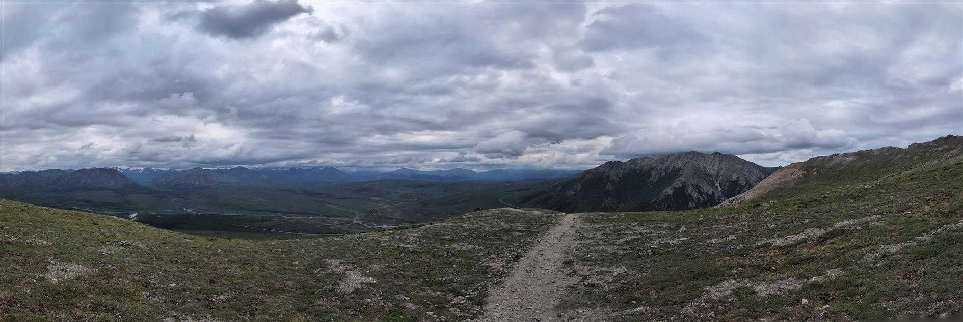
One way four mile trail from Savage Campground to Savage River in Denali National Park. There is a free shuttle bus back (and to the entrance area if no parking deeper in the park). This direction is 1,500 fet up and then 1,700 down with the descent in just a mile and a half. Fantastic variety of terrain and scenery.
Hike starts at: 63.715504, -149.254807. View in Google Earth.
Add Comment
All comments are moderated. Your email address is used to display a Gravatar and optionally for notification of new comments and to sign up for the newsletter.