Abrigo Valley

By . Updated on

Abrigo Valley

Abrigo Valley

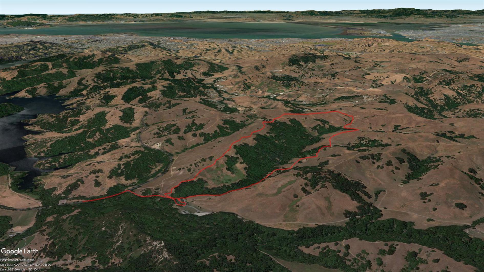
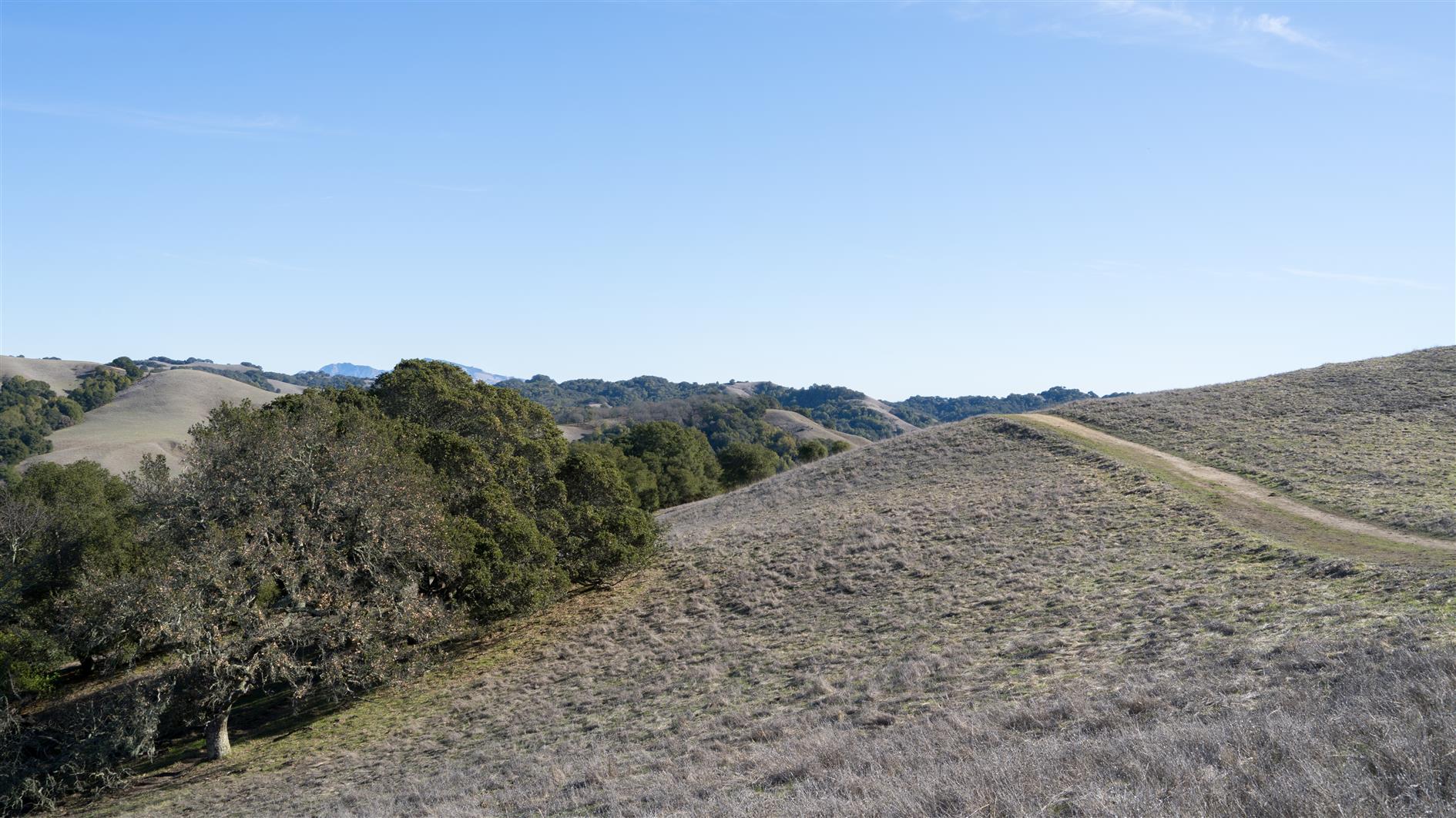
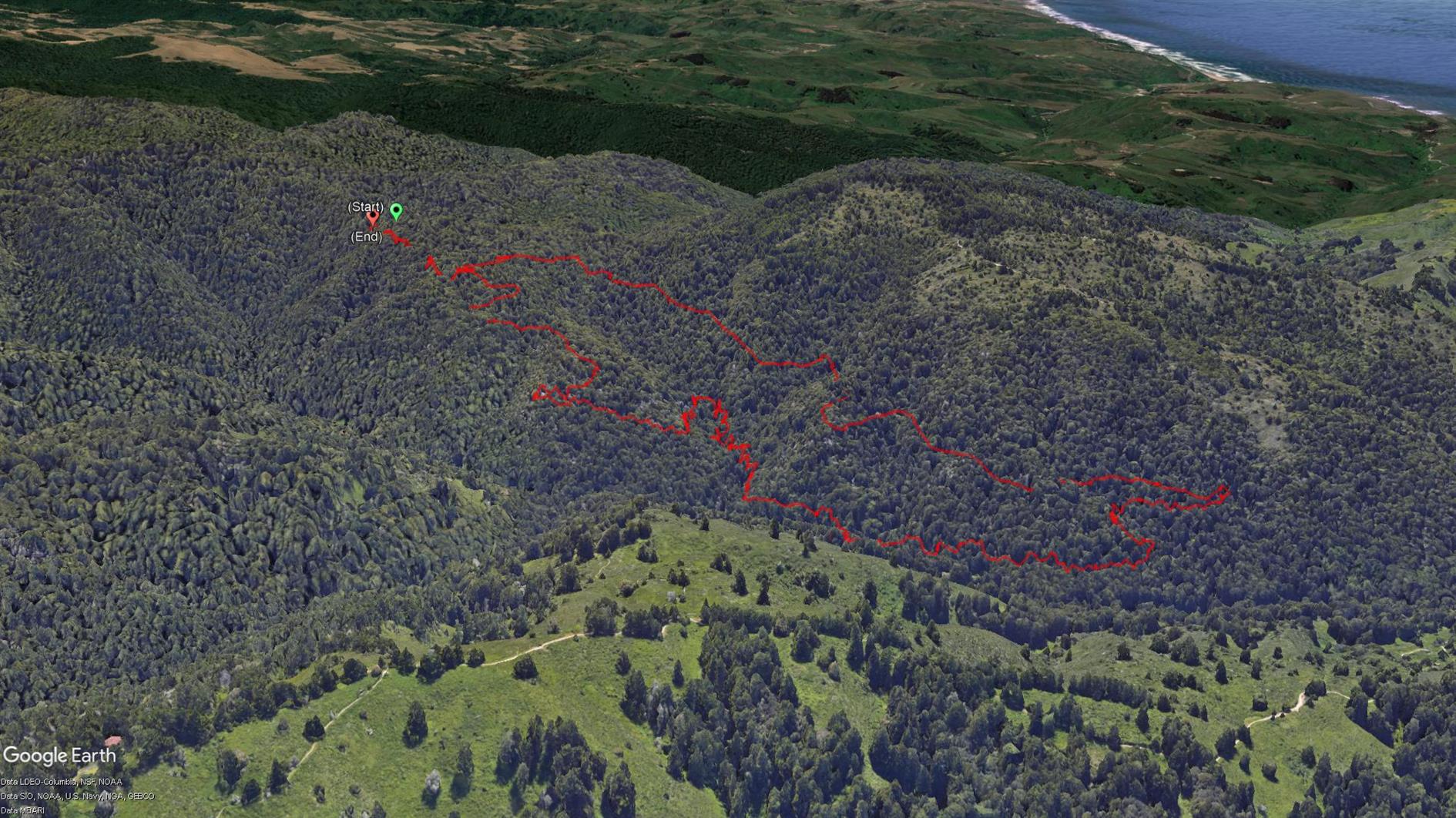
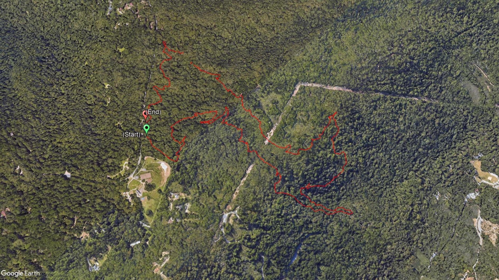
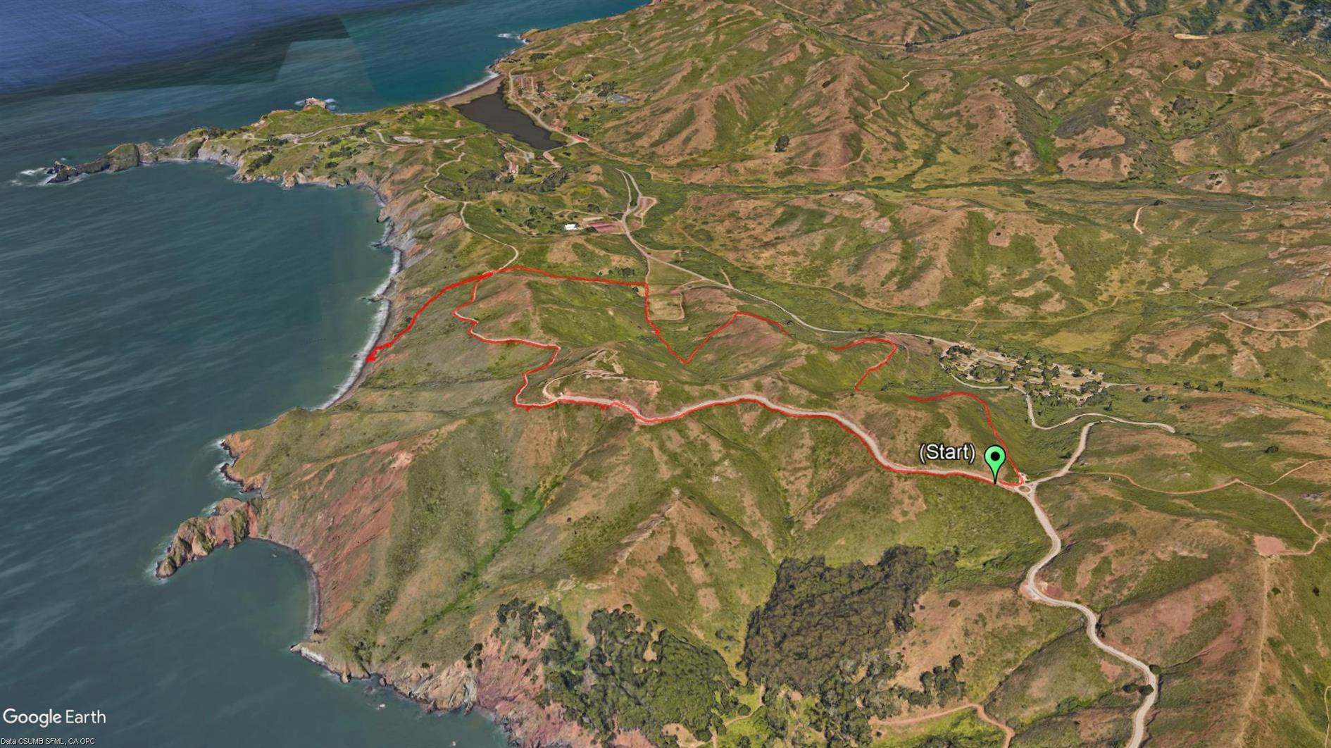
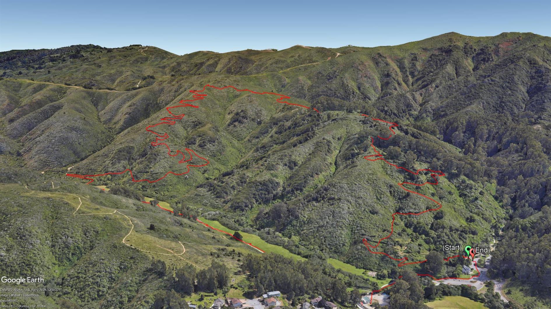
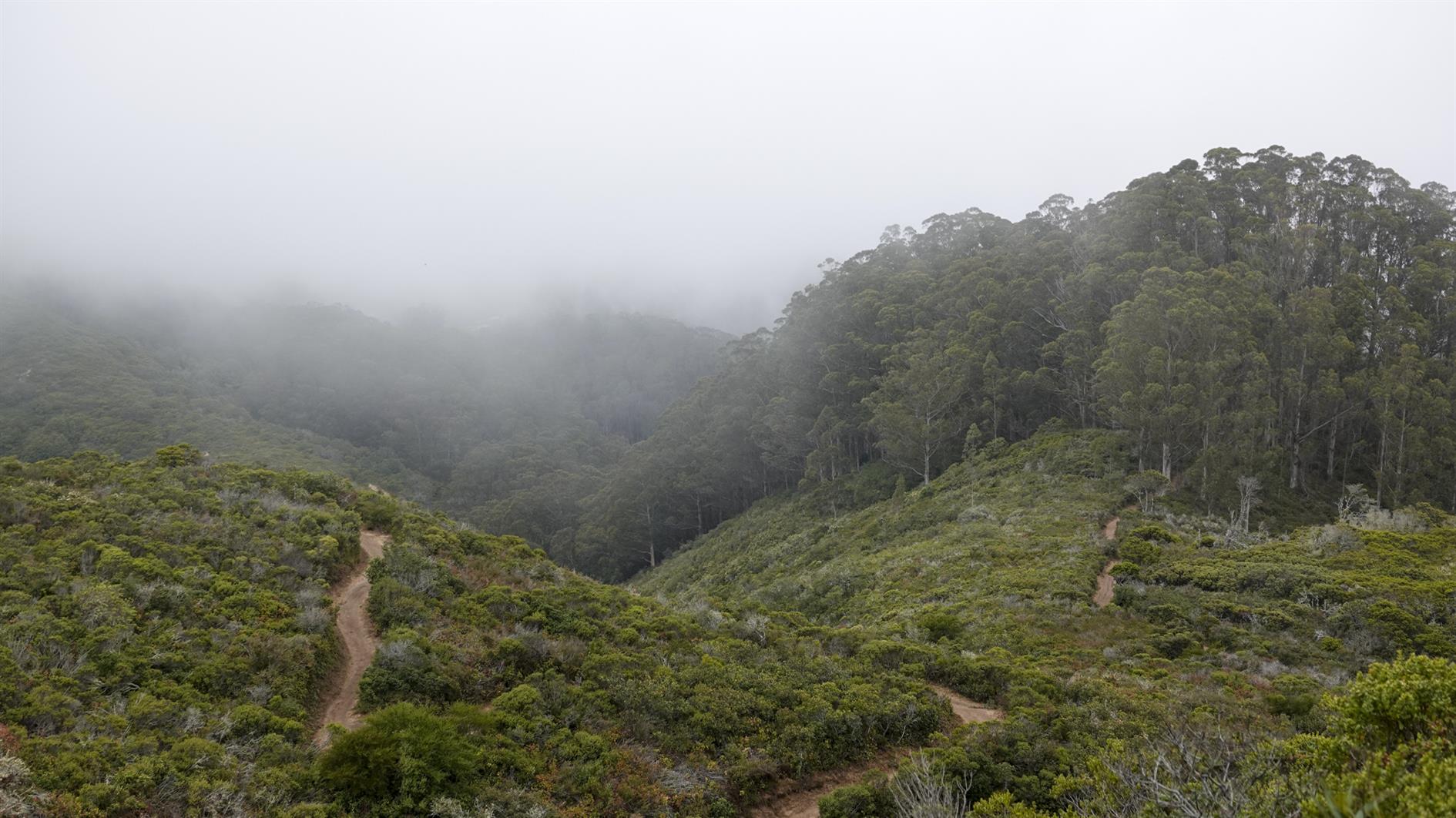
Abrigo Valley Trail to Santos Trail returning on Briones Crest Trail, a pleasant three and a half mile hike in Briones Regional Park.

(Previously: Mariposa Loop)

Hike starts at: 37.927261, -122.158768. View in Google Earth.

Grabtown Gulch and Borden Hatch Mill in Purisima Creek

By . Updated on

Grabtown Gulch and Borden Hatch Mill in Purisima Creek

Grabtown Gulch and Borden Hatch Mill in Purisima Creek

Grabtown Gulch and Borden Hatch Mill in Purisima Creek

A five mile loop in Purisima Creek Redwoods Open Space Preserve. Super limited parking so a good one for an early start. Descend Grabtown Gulch Trail for a little over two miles (and it doesn't really stop going down). Then after about five seconds along Purisima Creek ascend Borden Hatch Mill Trial all the way back to the top.

Hike starts at: 37.422216, -122.338163. View in Google Earth.

Mariposa Loop

By . Updated on

Mariposa Loop

Mariposa Loop

Mariposa Loop

Mariposa Loop in Briones Regional Park near Lafayette. Park near Happy Valley Elementary School and then head up Panorama Drive to the top to get the trailhead. It's just over three miles. The first mile goes up 600 feet without stopping and the views are fantastic in every direction. This is the first time we've visited Briones, will be back soon as it looks like it has a lot of decent loops.

Hike starts at: 37.905312, -122.142265. View in Google Earth.

Richards Fire Road

By . Updated on

Richards Fire Road

Richards Fire Road

A 4 mile loop starting at Skyline Boulevard and descending through dense forest from 2,000 feet to McGarvey Flat at 1,380 before ascending in slightly brighter but still shaded conditions. Perfect on a warm day. This is in Huddart Park in San Mateo county, just the other side of 35 from Purisima Creek. The hyperlapse video shows the second half of the hike.

Hike starts at: 37.429281, -122.312027. View in Google Earth.

Coastal and Julian loop plus Black Sands Beach

By . Updated on

Coastal and Julian loop plus Black Sands Beach

Coastal and Julian loop plus Black Sands Beach

Coastal and Julian loop plus Black Sands Beach

A four mile loop in the Marin Headlands including the beach detour. It starts at the roundabout and goes up to Hawk Hill and Nike missile control site. Then it plunges down the coastal road to the Black Sands Beach parking lot. If you go down to the beach (which you should) you then have a steep climb back up and take Upper Fisherman's Trial back down into Rodeo Valley before heading uphill again on Julian trail to the roundabout. Great views back over Rodeo Valley in addition to the dramatic descent down the coast mean this is worth doing once. Around a third of the hike is pretty close to the road which is the only real downside of this loop.

Hike starts at: 37.833262, -122.494321. View in Google Earth.

Coronavirus Hikes: Done

By . Updated on

Coronavirus Hikes: Done

Coronavirus Hikes: Done

The Google Earth screenshot above is a composite of all of our Coronavirus hikes from March to October. We have thrashed the sidewalk around our neighborhood, discovered some new favorites and gone from hyper-local to a more normal regime. I'm not going to track these specifically any more and will return to blogging new hikes that you'd do even if not forced to by circumstances.

Hazelnut Trail

By . Updated on

Hazelnut Trail

Hazelnut Trail

Hazelnut Trail in San Pedro Valley Park, Pacifica. $6 vehicle fee. Currently one way so very socially distanced.

Hike starts at: 37.577953, -122.475309. View in Google Earth.