Creekside Trail to Big Leaf Trail Loop

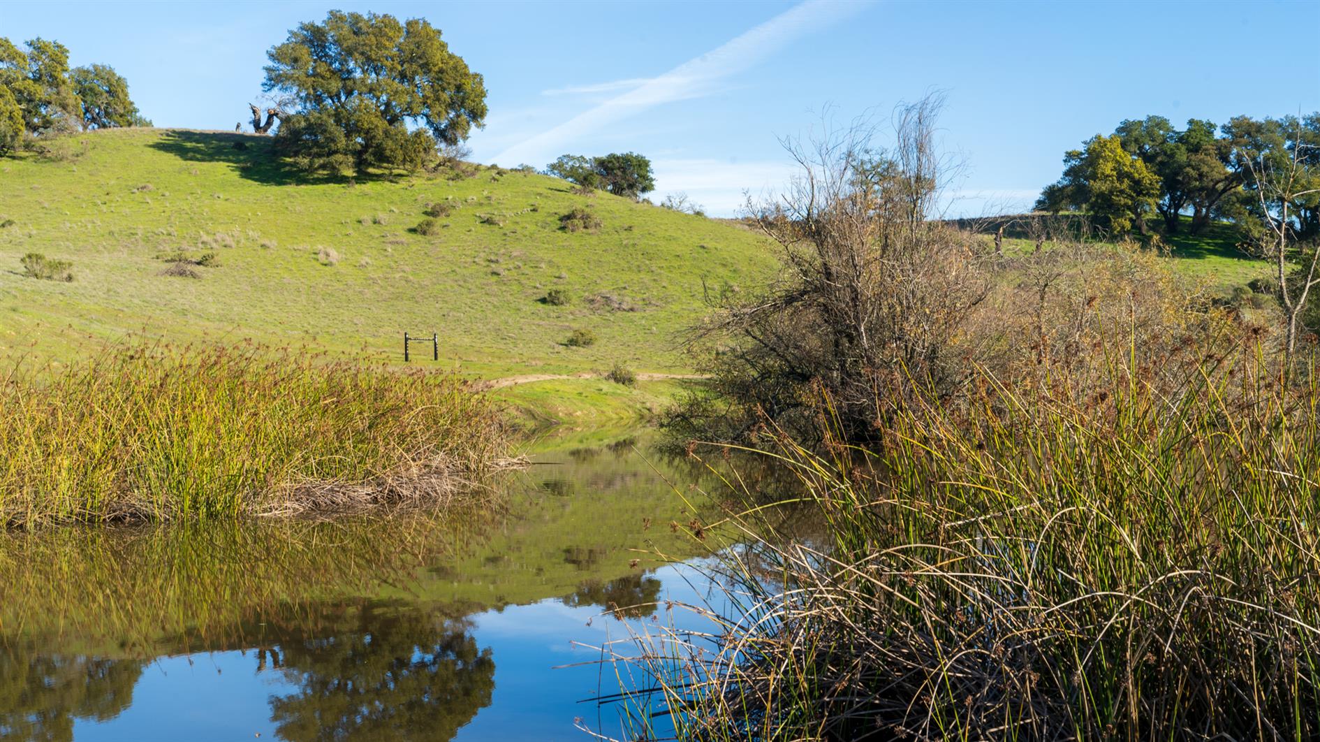
3.8 mile loop with 600 foot elevation gain in Shiloh Ranch Regional Park near Santa Rosa in Sonoma County.
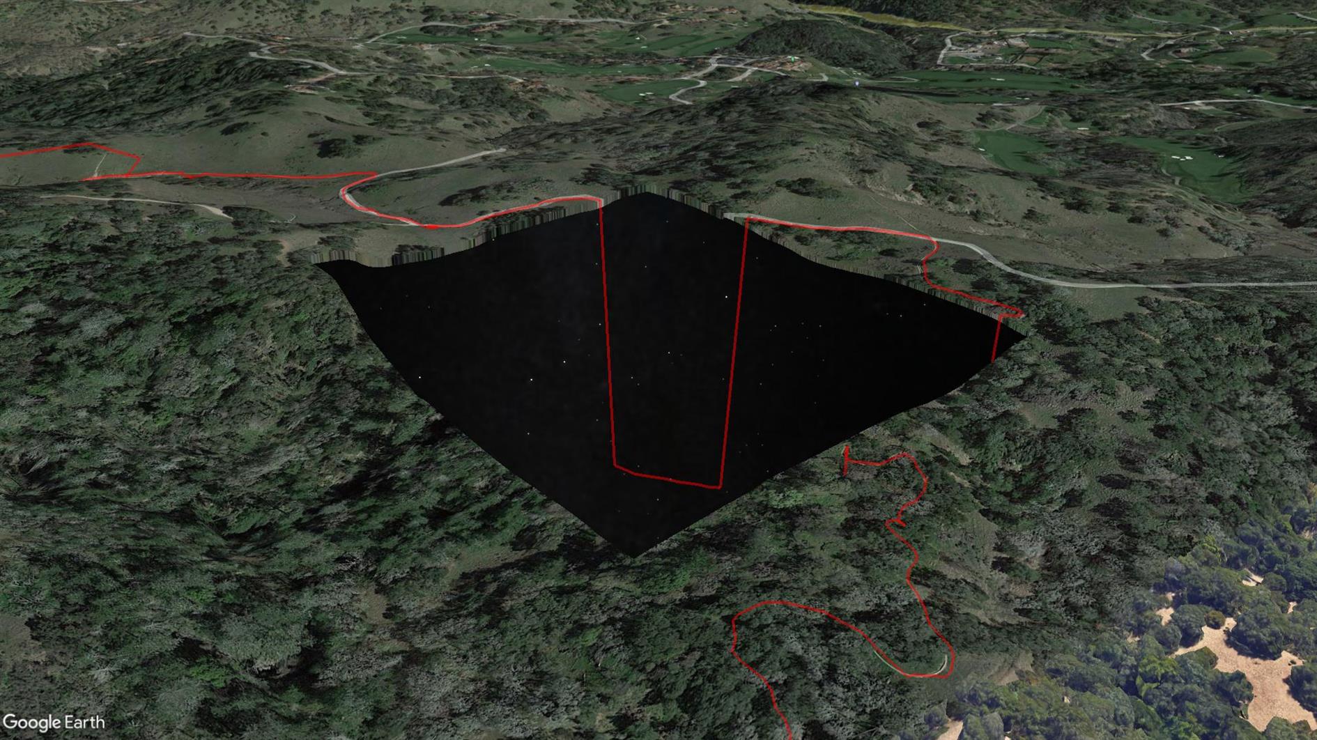
This is the first time my Pixel 4 XL GPS has failed me. Sometimes it wanders a little off trail, but this time it took a completely unauthorized trip to a Home Depot before eventually snapping back to reality. I've included it here but unlike any other track I've uploaded you might not want to use this one (see the route on AllTrails instead, distance incorrect below). The really strange thing is that when I look at the trail in Google Earth there is a missing tile around where the GPS freaks out and Google Earth sends the route plunging down into outer space (because it's clamping to its elevation model but the stars under Sonoma are not as far away as they look?) See the screenshot above. Something is odd at Shiloh Ranch...
Hike starts at: 38.525412, -122.762561. View in Google Earth.
Add Comment
All comments are moderated. Your email address is used to display a Gravatar and optionally for notification of new comments and to sign up for the newsletter.