Point Reyes - Drakes Estero
By Robert Ellison. Updated on
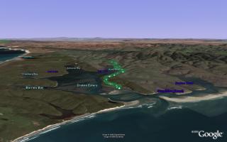
A pleasant, undulating hike along Drakes Estero to Sunset Beach and back.
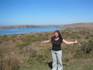
Gill illustrates the length of Drakes Estero.
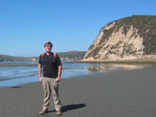
Rob slowly sinking into the mud on Sunset Beach.
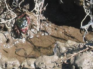
I think this is a striped shore crab, saw a couple of these guarding the approach to the beach.
(7.71 miles, total elevation gain 1,594 feet, 2 hours 48 minutes (average 2.76 mph), view in Google Earth)
Hike starts at: 38.081683, -122.9142.
Add Comment
All comments are moderated. Your email address is used to display a Gravatar and optionally for notification of new comments and to sign up for the newsletter.