Summit Lake to Echo Lake in Lassen
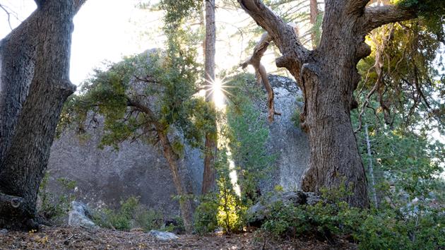
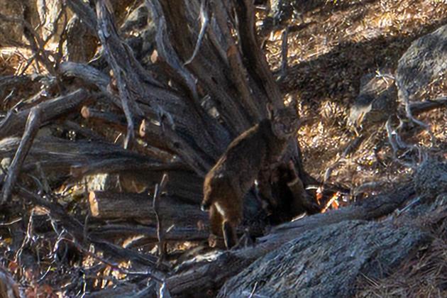
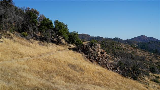
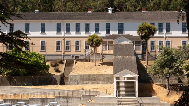
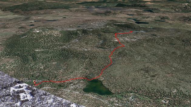
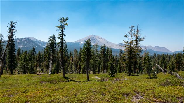
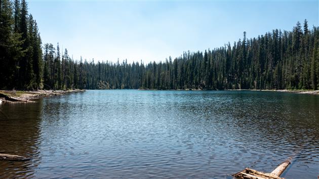
A 4.5 mile out and back hike to Echo Lake in Lassen Volcanic National Park. Start at the Summit Lake Ranger Station, take the short trail to Summit Lake and then follow signs to Echo Lake.
Hike starts at: 40.498228, -121.42711. View in Google Earth.
Related Posts
(Hike Map)
(Published to the Fediverse as: Summit Lake to Echo Lake in Lassen #hike #lake #lassen #map Hike from Summit Lake to Echo Lake in Lassen Volcanic National Park. 4.5 miles out and back. )
Teague Hill Preserve
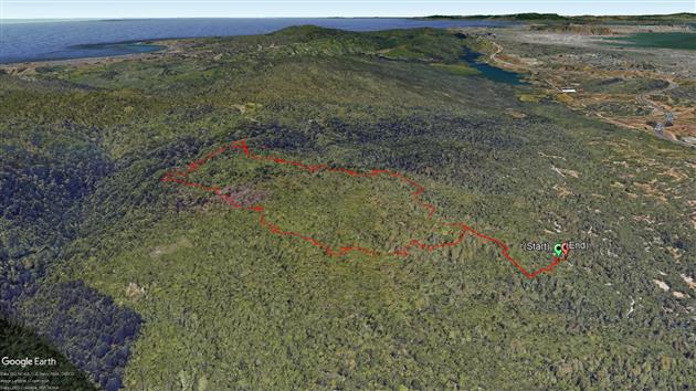
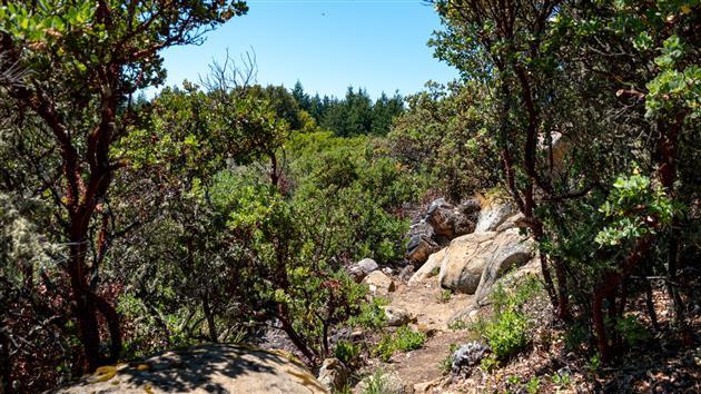
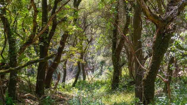
A four mile, 1,400 foot hike into the Santa Cruz Mountains from just above Woodside. The trail is almost entirely under canopy but with a lot of variety and the occasional snatch of a view of the bay as you climb. The Bear Gulch section is very steep in places, if I did this route again I'd try Marker 3 to Marker 11 to see if the descent is more forgiving. Oh, and make sure you have a map or a downloaded route, there are a lot of trails with multiple entrances so it would be pretty easy to get lost here.
Hike starts at: 37.424658, -122.281739. View in Google Earth.
Related Posts
- Richards Fire Road
- Hill 88
- Point Reyes - Divide Meadow Loop
- Lands End
- Bull Valley Trail to Port Costa
(Hike Map)
(Published to the Fediverse as: Teague Hill Preserve #hike #map 4 mile hike with 1,400 foot elevation gain in the Santa Cruz Mountains near Woodside, California. Bring a map. )
Route map and elevation profile for Hike Posts
I have just updated my blog with two new features for hike posts.
The route is now shown in an embedded Google map. The map has a pin for the start of the hike (and for any geolocated photos included with the post) and a red line for the GPS track. Don't use this for following the route - better to download the KML file and have an offline map - but it's great for getting a sense of the hike.
Below the map is a new hike profile that plots elevation against distance together with estimated total distance and elevation gain. This is fairly tricky as my phone GPS isn't the best and altitude in particular jumps around a fair bit. To make this reasonably stable I take trackpoints every 60th of a mile and I only count elevation gain when it has gone up more than 100 feet. This probably errs on the side of underestimating unless the signal is really bad. The overall shape is a pretty good guide but please don't depend on the distance and elevation gain.
Related Posts
- About Hikes
- China Camp State Park
- Geotagging posts in BlogEngine.NET
- Coronavirus Hikes: March 2020
- Coronavirus Hikes: Done
(Hike Map)
(Published to the Fediverse as: Route map and elevation profile for Hike Posts #hike #ithcwy Hikes on ITHCWY now feature a route map and a hike profile with distance, total elevation gain and a chart to give you a good sense of what you might be in for. )
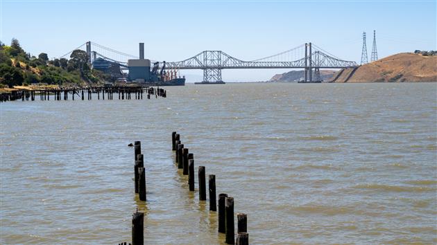
Bull Valley Trail to Port Costa
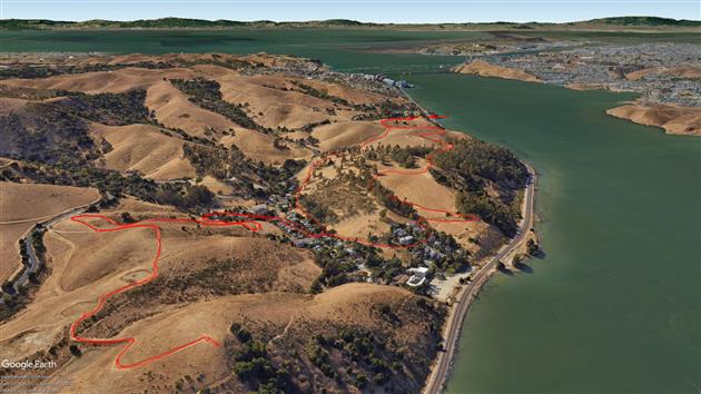
A five mile mostly out and back trail (one small loop element) near the Carquinez Strait.
Start at the parking area close to Eckley Pier (worth a quick detour, be careful crossing the train tracks). Follow Bull Valley Trail up to Carquinez Overlook Loop Trail and down to Port Costa. Go through Port Costa (I'd download the route for this bit) and follow an unnamed (as far as I can tell) trail up to the top of Carquinez Strait Regional Shoreline Park for dramatic views over to the Benicia-Martinez Bridge and Mt. Diablo. The whole hike is pretty exposed but very attractive with great views and a nice town in the middle. Highly recommended.
Hike starts at: 38.0524, -122.20119. View in Google Earth.
Related Posts
- Lands End
- Teague Hill Preserve
- Hill 88
- Golden Gate Park - Stow Lake, Strawberry Hill and Museum Concourse
- Milagra Ridge
(Hike Map)
(Published to the Fediverse as: Bull Valley Trail to Port Costa #hike #bullvalley #map Five mile hike from Eckley Pier to Port Costa via Bull Valley Trail and then up again to the top of Carquinez Strait Regional Shoreline Park. )
Abrigo Valley
Abrigo Valley Trail to Santos Trail returning on Briones Crest Trail, a pleasant three and a half mile hike in Briones Regional Park.
(Previously: Mariposa Loop)
Hike starts at: 37.927261, -122.158768. View in Google Earth.
Related Posts
- Mariposa Loop
- Bull Valley Trail to Port Costa
- Point Reyes - Divide Meadow Loop
- Milagra Ridge
- Summit Loop, San Bruno Mountain
(Hike Map)
(Published to the Fediverse as: Abrigo Valley #hike #map Briones Regional Park hike taking in Abrigo Valley Trail, Santos Trail and Briones Crest Trail. 3.5 miles. )
Grabtown Gulch and Borden Hatch Mill in Purisima Creek
A five mile loop in Purisima Creek Redwoods Open Space Preserve. Super limited parking so a good one for an early start. Descend Grabtown Gulch Trail for a little over two miles (and it doesn't really stop going down). Then after about five seconds along Purisima Creek ascend Borden Hatch Mill Trial all the way back to the top.
Hike starts at: 37.422216, -122.338163. View in Google Earth.
Related Posts
- Teague Hill Preserve
- Richards Fire Road
- San Pedro Valley Park Waterfall Loop
- Bull Valley Trail to Port Costa
- Milagra Ridge
(Hike Map)
(Published to the Fediverse as: Grabtown Gulch and Borden Hatch Mill in Purisima Creek #hike #purisimacreek #map Awesome 5 mile hike in Purisima Creek, down Grabtown Gulch Trail and then back up Borden Hatch Mill Trial. Lots of down and then lots of up. )
Mariposa Loop
Mariposa Loop in Briones Regional Park near Lafayette. Park near Happy Valley Elementary School and then head up Panorama Drive to the top to get the trailhead. It's just over three miles. The first mile goes up 600 feet without stopping and the views are fantastic in every direction. This is the first time we've visited Briones, will be back soon as it looks like it has a lot of decent loops.
Hike starts at: 37.905312, -122.142265. View in Google Earth.
Related Posts
- Abrigo Valley
- Summit Loop, San Bruno Mountain
- Point Reyes - Divide Meadow Loop
- San Pedro Valley Park Waterfall Loop
- Twin Peaks Loop
(Hike Map)
(Published to the Fediverse as: Mariposa Loop #hike #lafayette #vulture #map #hikevid #video Three mile hike in Briones Regional Park near Lafayette. Steep first mile goes up 600 feet, then a pleasant loop back to the start. )
Richards Fire Road
A 4 mile loop starting at Skyline Boulevard and descending through dense forest from 2,000 feet to McGarvey Flat at 1,380 before ascending in slightly brighter but still shaded conditions. Perfect on a warm day. This is in Huddart Park in San Mateo county, just the other side of 35 from Purisima Creek. The hyperlapse video shows the second half of the hike.
Hike starts at: 37.429281, -122.312027. View in Google Earth.
Related Posts
- Milagra Ridge
- Teague Hill Preserve
- Glen Park Canyon
- Buena Vista Park
- Point Reyes - Divide Meadow Loop
(Hike Map)
(Published to the Fediverse as: Richards Fire Road #hike #sanmateo #huddartpark #redwoods #map #hikevid #video Richards Fire Road, a pleasant four mile hike in Huddart Park (San Mateo, California). )
Coastal and Julian loop plus Black Sands Beach
A four mile loop in the Marin Headlands including the beach detour. It starts at the roundabout and goes up to Hawk Hill and Nike missile control site. Then it plunges down the coastal road to the Black Sands Beach parking lot. If you go down to the beach (which you should) you then have a steep climb back up and take Upper Fisherman's Trial back down into Rodeo Valley before heading uphill again on Julian trail to the roundabout. Great views back over Rodeo Valley in addition to the dramatic descent down the coast mean this is worth doing once. Around a third of the hike is pretty close to the road which is the only real downside of this loop.
Hike starts at: 37.833262, -122.494321. View in Google Earth.
Related Posts
(Hike Map)
(Published to the Fediverse as: Coastal and Julian loop plus Black Sands Beach #hike #marinheadlands #blacksandsbeach #map A Marin headlands hike taking in a couple of trails with awesome views and a detour to Black Sands Beach. )
Coronavirus Hikes: Done
The Google Earth screenshot above is a composite of all of our Coronavirus hikes from March to October. We have thrashed the sidewalk around our neighborhood, discovered some new favorites and gone from hyper-local to a more normal regime. I'm not going to track these specifically any more and will return to blogging new hikes that you'd do even if not forced to by circumstances.
Related Posts
- Coronavirus Hikes: July 2020
- Coronavirus Hikes: March 2020
- Coronavirus Hikes: April 2020
- Coronavirus Hikes: May 2020
- Coronavirus Hikes: June 2020
(Hike Map)
(Published to the Fediverse as: Coronavirus Hikes: Done #hike #coronavirus Final map of many coronavirus hikes in and around our neighborhood. Have discovered some pretty good out of the front door routes. )