Coastal and Julian loop plus Black Sands Beach
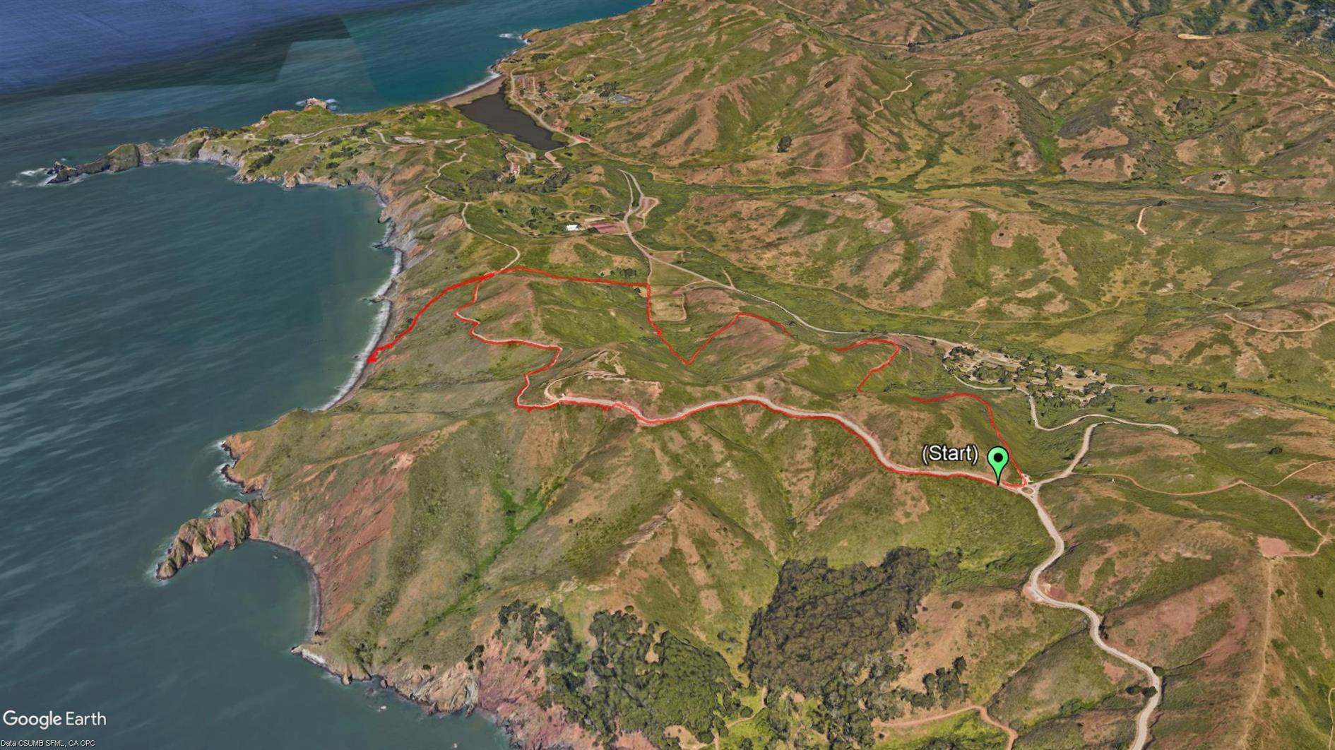

A four mile loop in the Marin Headlands including the beach detour. It starts at the roundabout and goes up to Hawk Hill and Nike missile control site. Then it plunges down the coastal road to the Black Sands Beach parking lot. If you go down to the beach (which you should) you then have a steep climb back up and take Upper Fisherman's Trial back down into Rodeo Valley before heading uphill again on Julian trail to the roundabout. Great views back over Rodeo Valley in addition to the dramatic descent down the coast mean this is worth doing once. Around a third of the hike is pretty close to the road which is the only real downside of this loop.
Hike starts at: 37.833262, -122.494321. View in Google Earth.
Related Posts
(Hike Map)
(Published to the Fediverse as: Coastal and Julian loop plus Black Sands Beach #hike #marinheadlands #blacksandsbeach #map A Marin headlands hike taking in a couple of trails with awesome views and a detour to Black Sands Beach. )
Hill 88
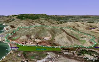
Hill 88 is a favorite walk when the Marin headlands are free from fog. Starting from Fort Cronkhite the Coastal Trail winds up to Hill 88 at 960ft, past various WWII era coastal defenses. Cross the ridge and descend down Wolf Ridge Trail and Miwok Trail to complete a 4.5 mile loop.
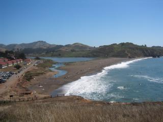
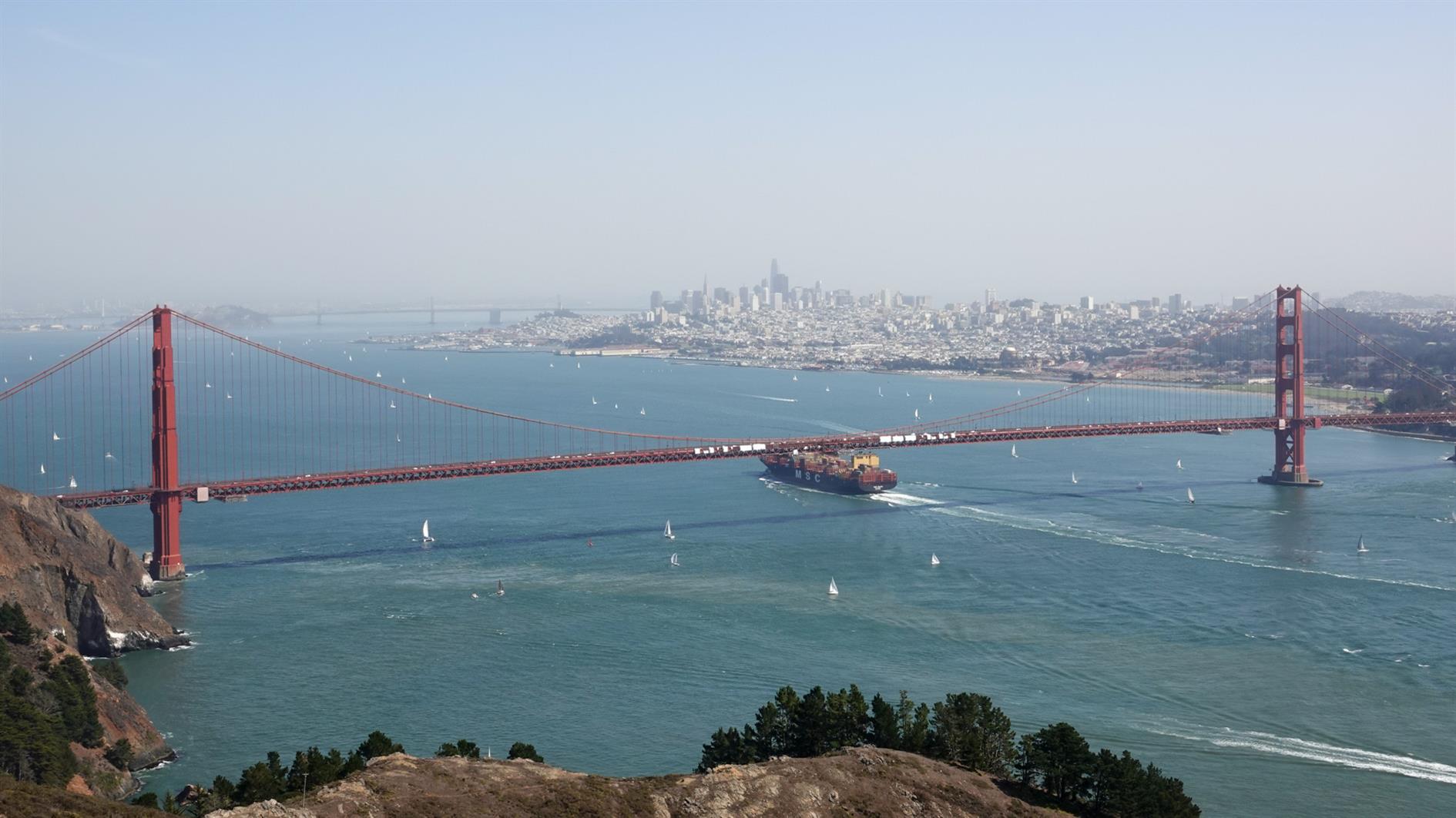
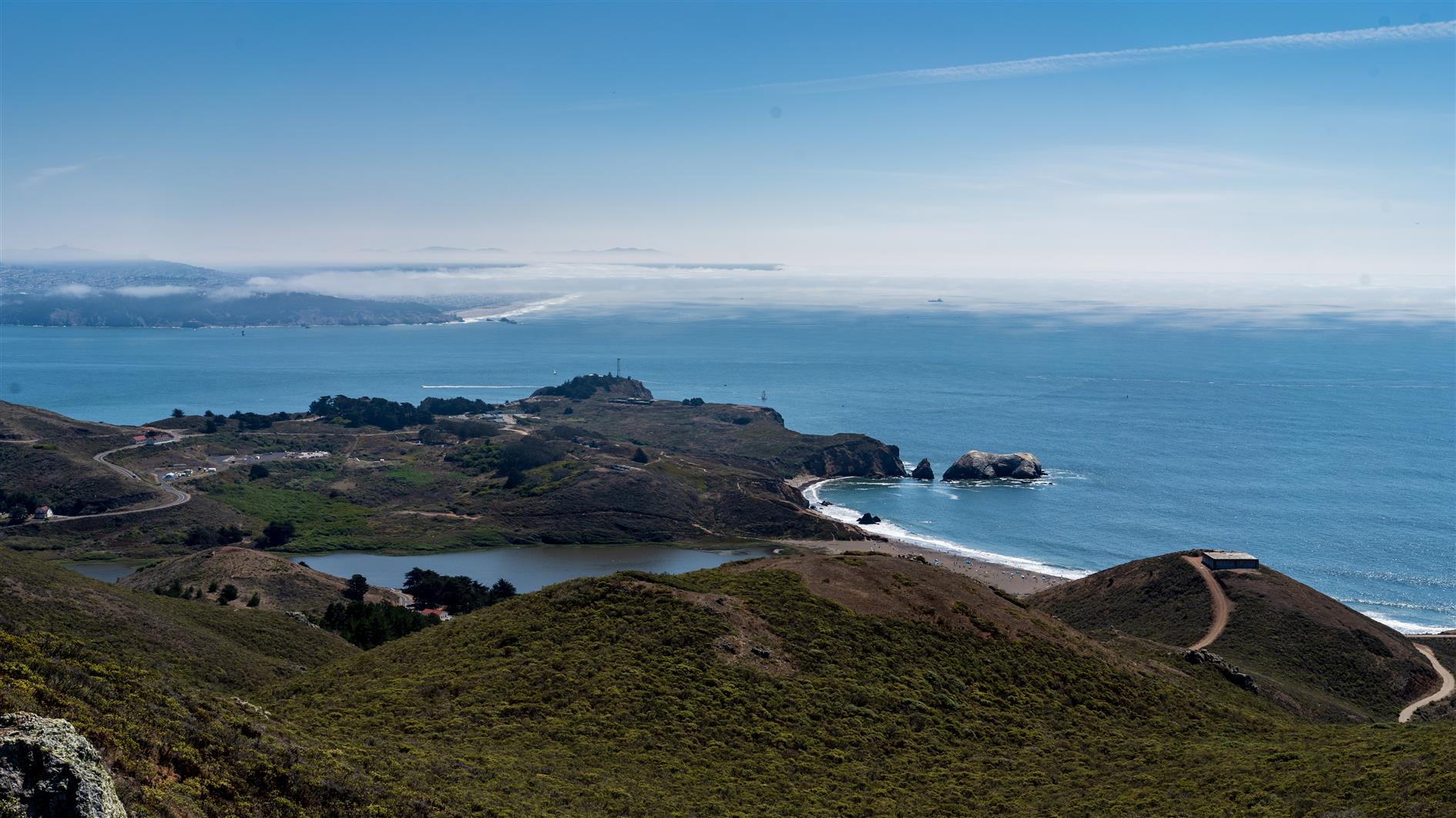
Rodeo Beach viewed from the Coastal Trail. As you ascend there are views of the Golden Gate Bridge and San Francisco.
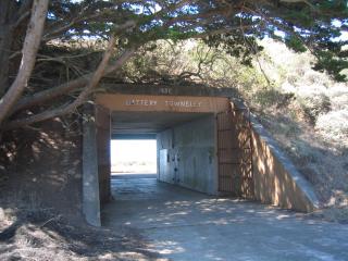
Battery Townsley, one of several coastal defenses passed on the walk.
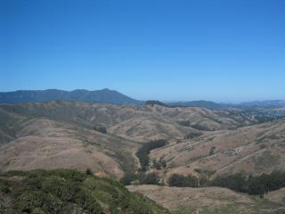
View of Mount Tamalpais as you begin to descend Wolf Ridge Trail.
(4.56 miles, total elevation gain 1,142 feet, 1 hour 38 minutes (average 2.79 mph), view in Google Earth)
Hike starts at: 37.832683, -122.526217.
Updated 2021-09-07 17:55:
Having done this walk many times I would now recommend doing it counterclockwise. You get a nice flat stretch to warm up, a fairly steady climb to the top and then can enjoy the ocean views on the way down if the fog is cooperating.
Updates
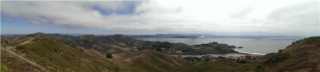
San Francisco from Hill 88
Related Posts
- Coastal and Julian loop plus Black Sands Beach
- Fort Funston
- Lands End
- Kirby Cove
- Remnants in the Sunset
(Hike Map)
(Published to the Fediverse as: Hill 88 #hike #hill88 #marinheadlands #sanfrancisco Marin Headlands hike up Hill 88, a loop of just under 5 miles and a little over 1,000 feet of elevation gain. )