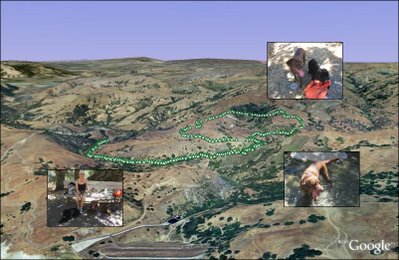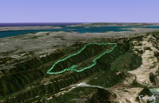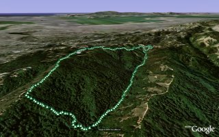
Hill 88 is a favorite walk when the Marin headlands are free from fog. Starting from Fort Cronkhite
the Coastal Trail winds up to Hill 88 at 960ft, past various WWII era coastal defenses. Cross the ridge and descend down Wolf Ridge Trail and
Miwok Trail to complete a 4.5 mile loop.
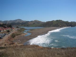
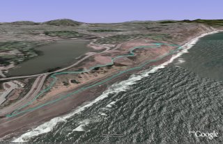
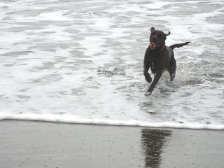
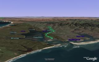
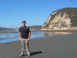
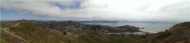
Rodeo Beach viewed from the Coastal Trail. As you ascend there are views of the Golden Gate Bridge and San Francisco.
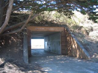
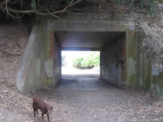
Battery Townsley, one of several coastal defenses passed on the walk.
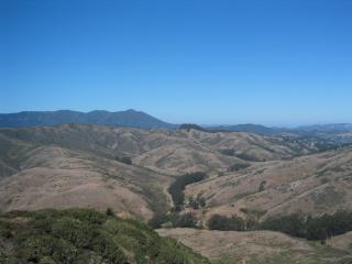
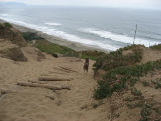
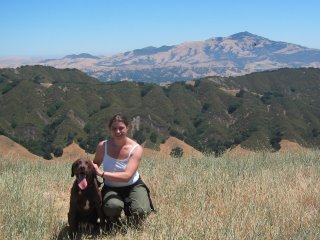
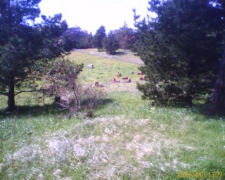
View of Mount Tamalpais as you begin to descend Wolf Ridge Trail.
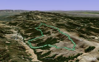
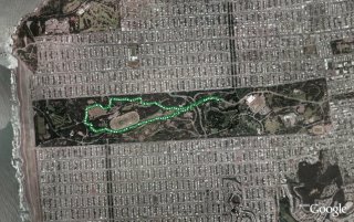
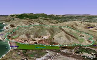
(4.56 miles, total elevation gain 1,142 feet, 1 hour 38 minutes (average 2.79 mph), view in Google Earth)
Hike starts at: 37.832683, -122.526217.
Updated 2021-09-07 17:55:
Having done this walk many times I would now recommend doing it counterclockwise. You get a nice flat stretch to warm up, a fairly steady climb to the top and then can enjoy the ocean views on the way down if the fog is cooperating.
Updates
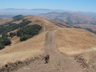
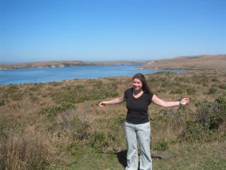
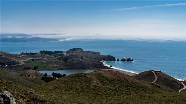
San Francisco from Hill 88
Add your comment...
Related Posts
(Hike Map)
(Published to the Fediverse as:
Hill 88 #hike #hill88 #marinheadlands #sanfrancisco Marin Headlands hike up Hill 88, a loop of just under 5 miles and a little over 1,000 feet of elevation gain.
)