Limantour Spit
By Robert Ellison. Updated on
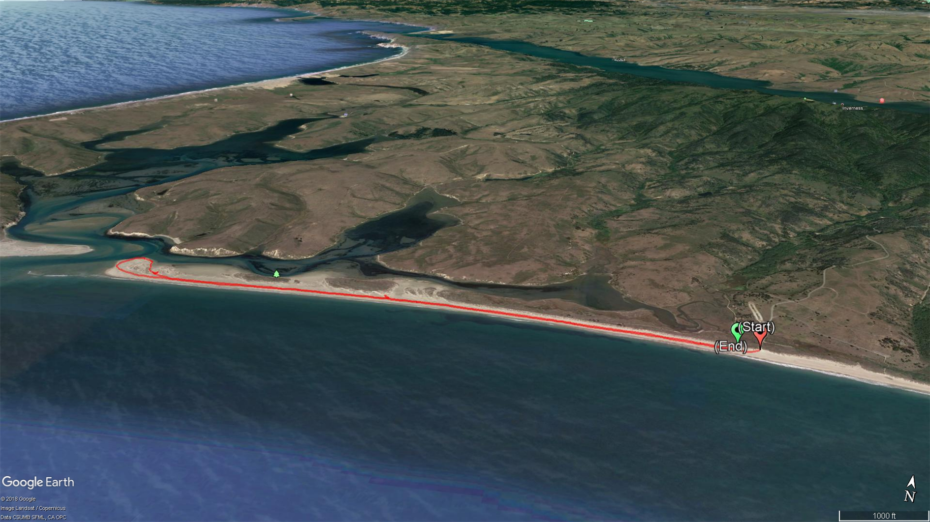
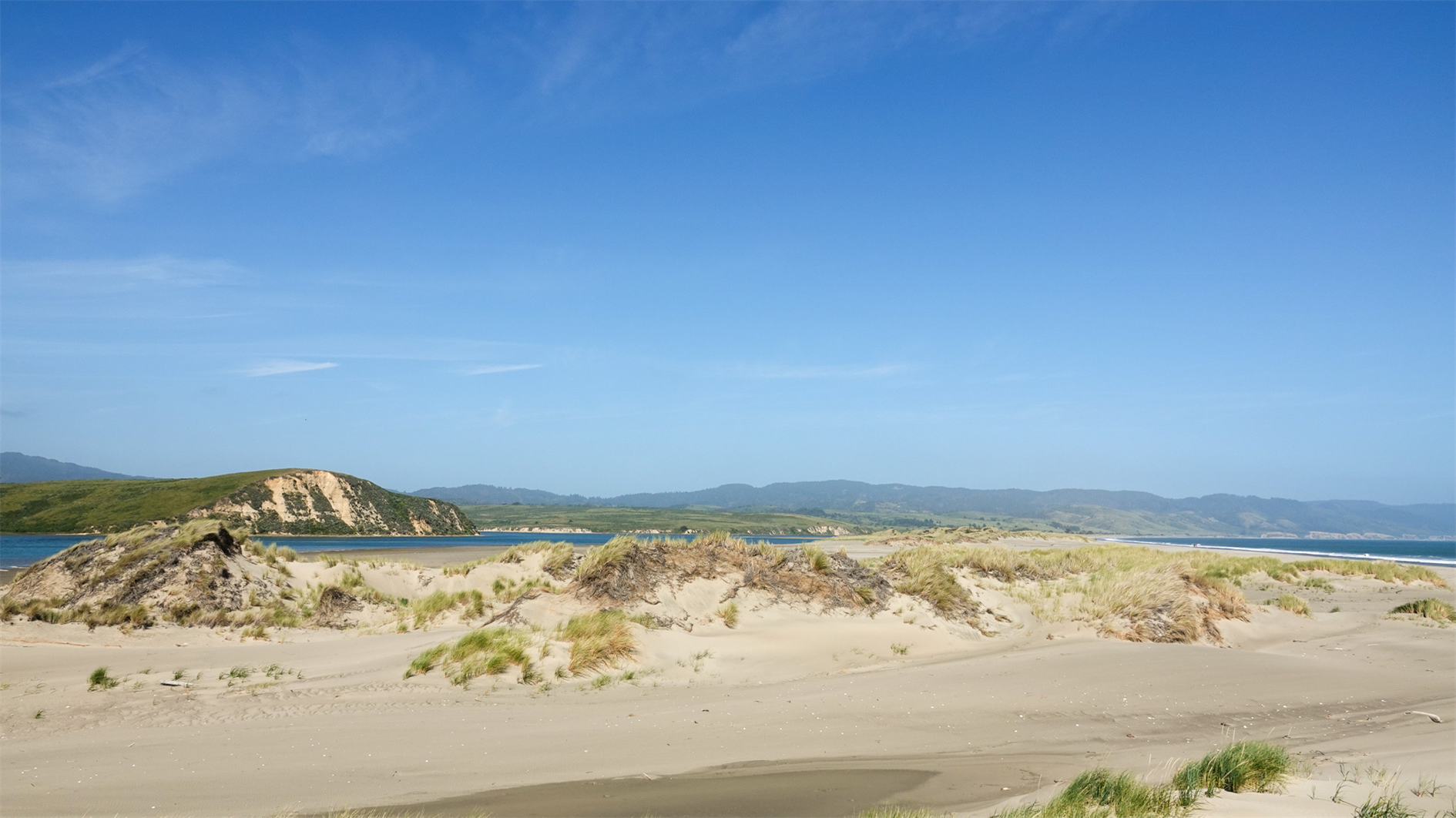
There is a shorter trail through the dunes before you get to the beach which we attempted a couple of years ago. The vegetation is spiky and unforgiving for small people. Better option is to hit the beach, turn right and walk as close to the end as you can. Five mile flat round trip. We saw harbor seals and one very decomposed whale.
Hike starts at: 38.025765, -122.884455. View in Google Earth.
Updated 2024-04-13 21:52:
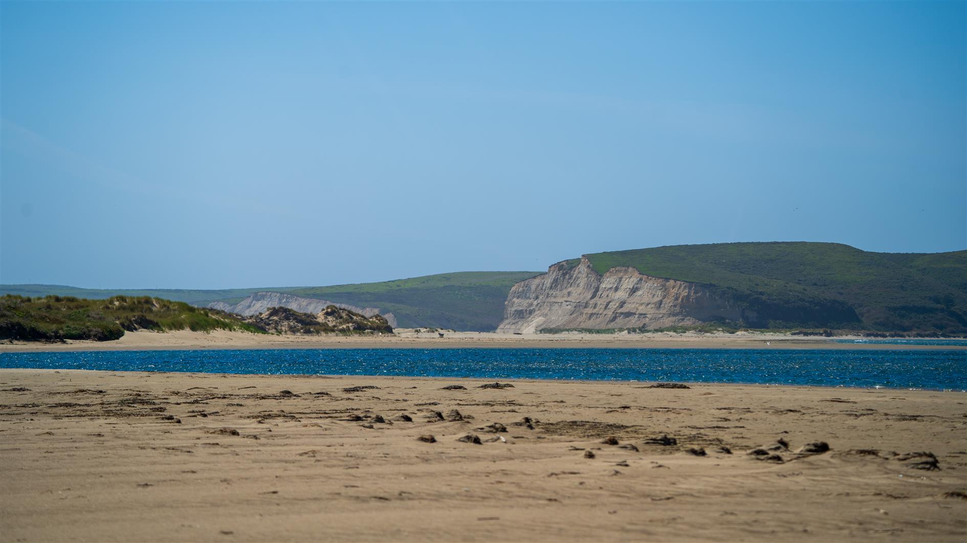
Another visit, on another beautiful day. Spotted a seal and I think a grey whale.
Add Comment
All comments are moderated. Your email address is used to display a Gravatar and optionally for notification of new comments and to sign up for the newsletter.