New Year's resolution: hike more again.
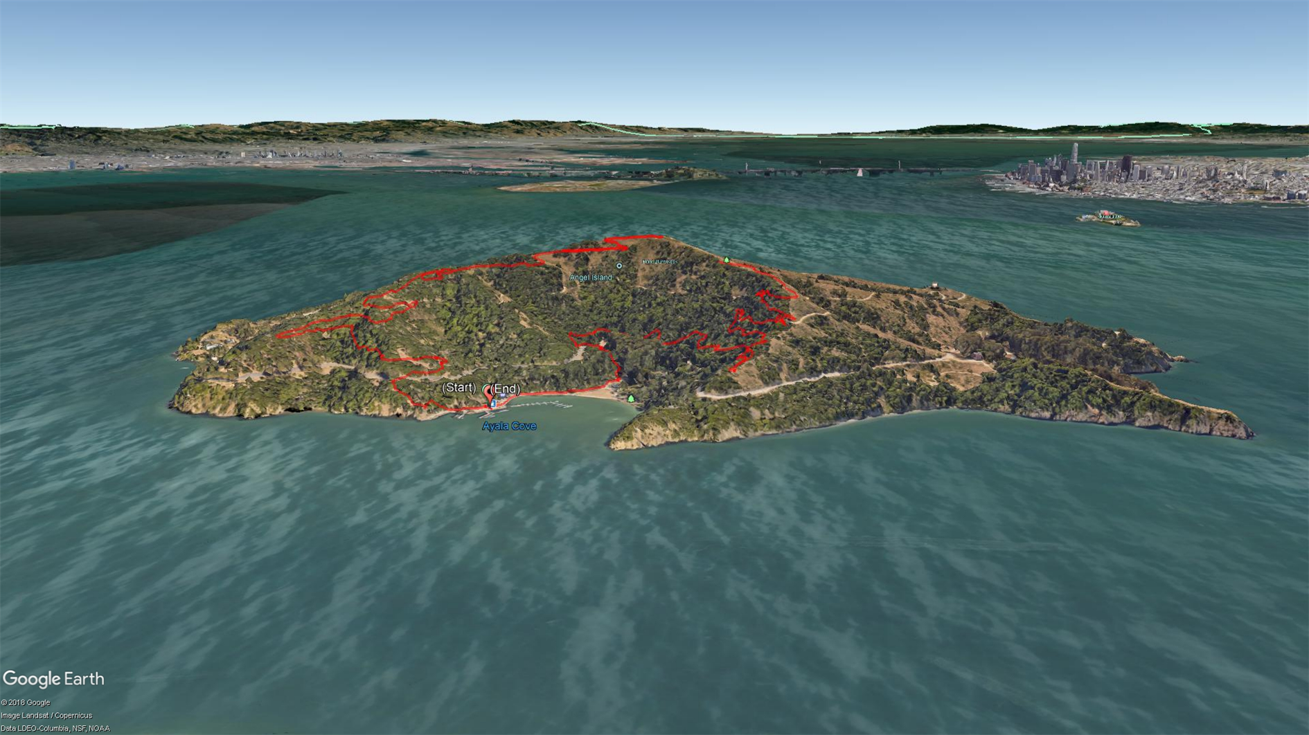
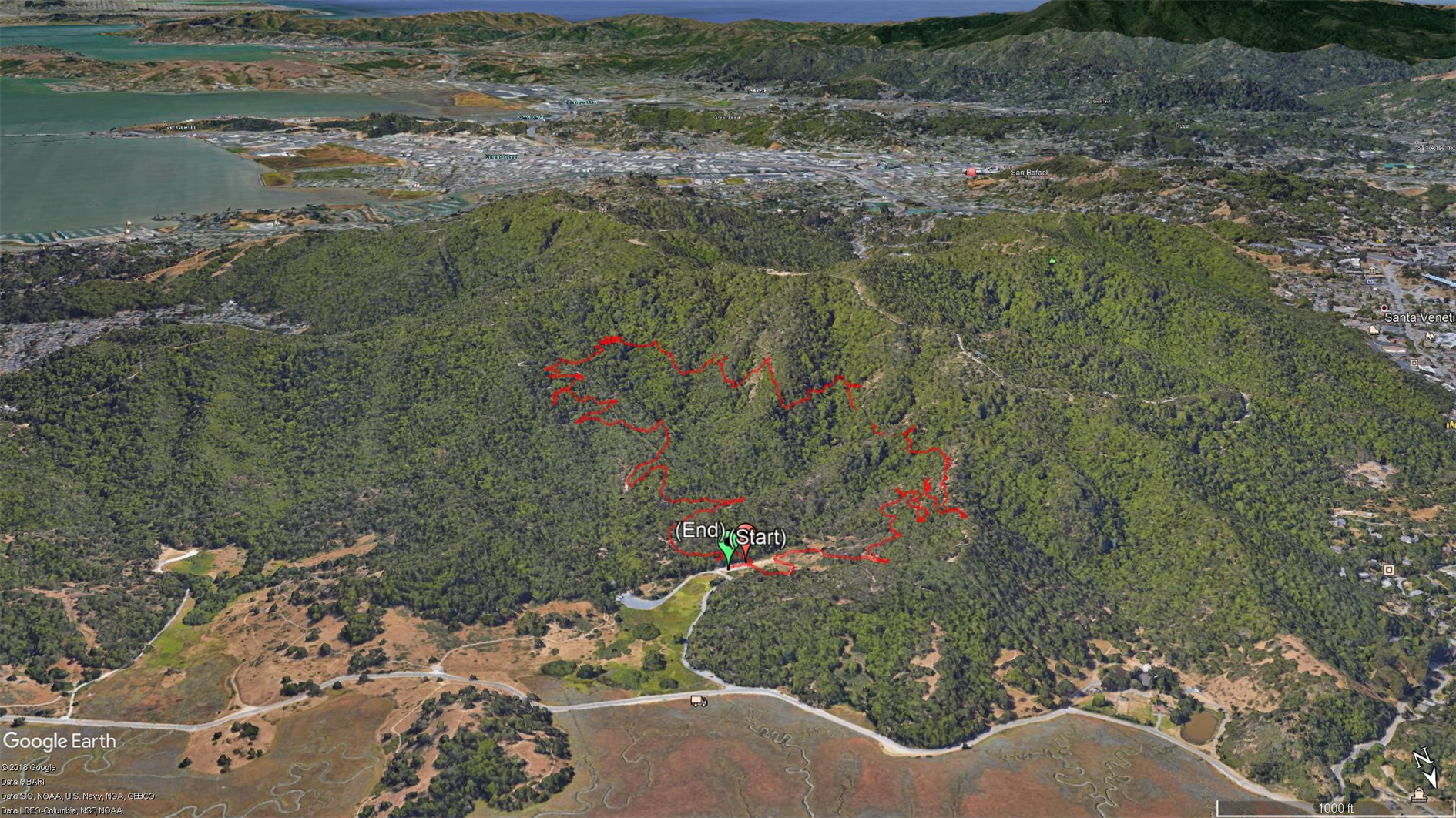
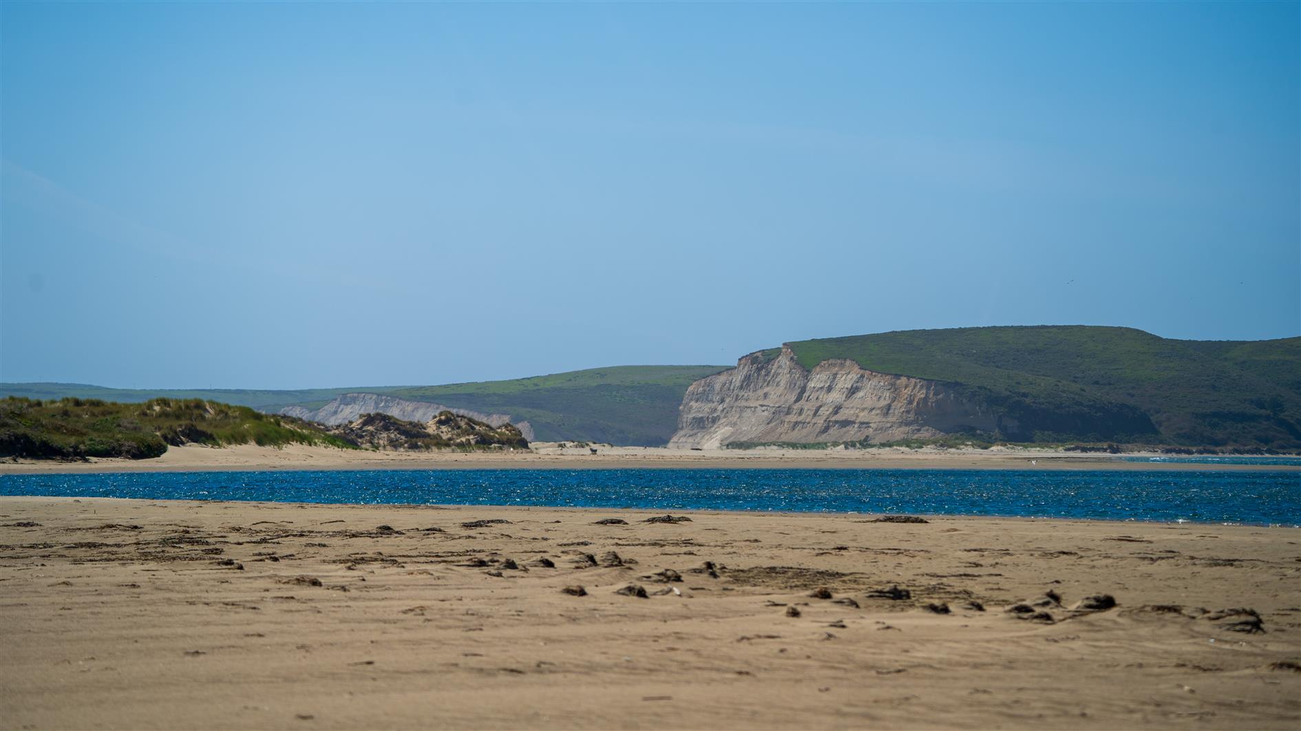
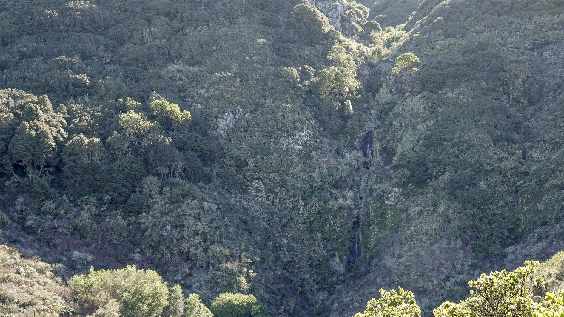
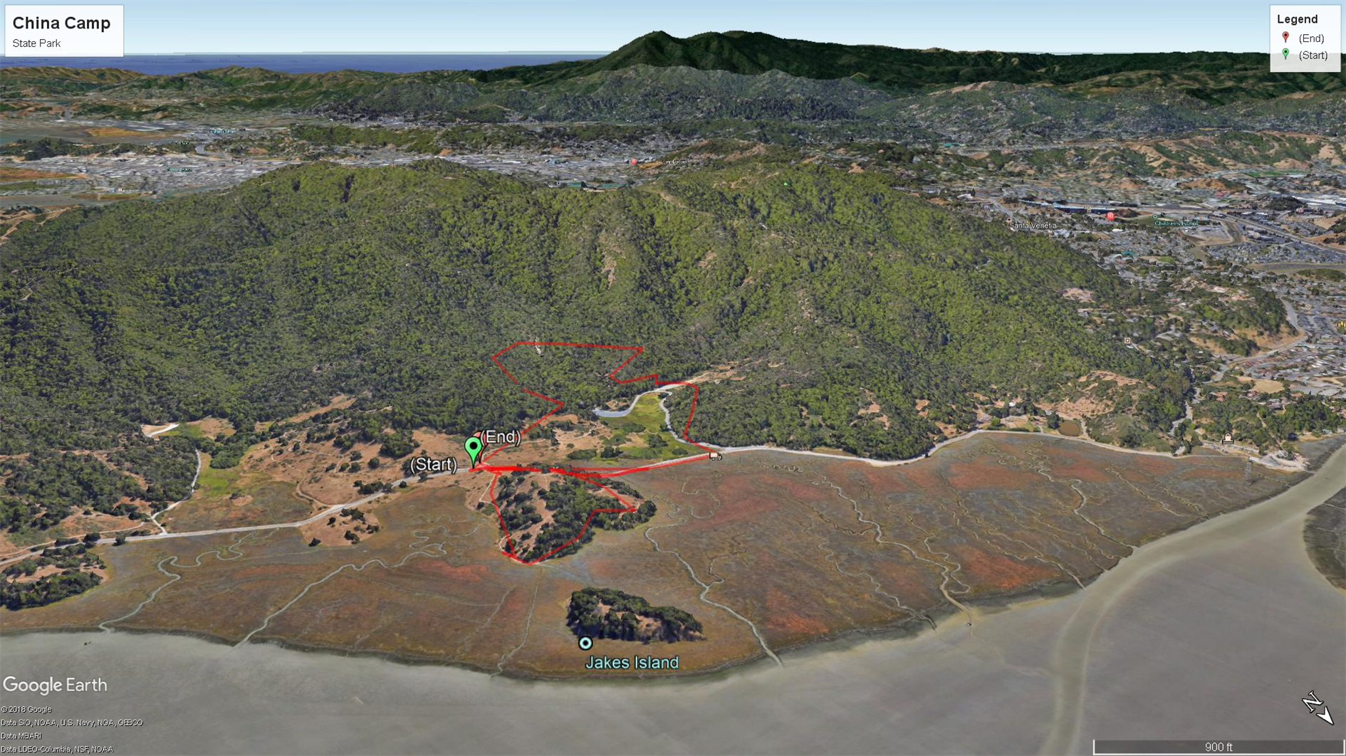
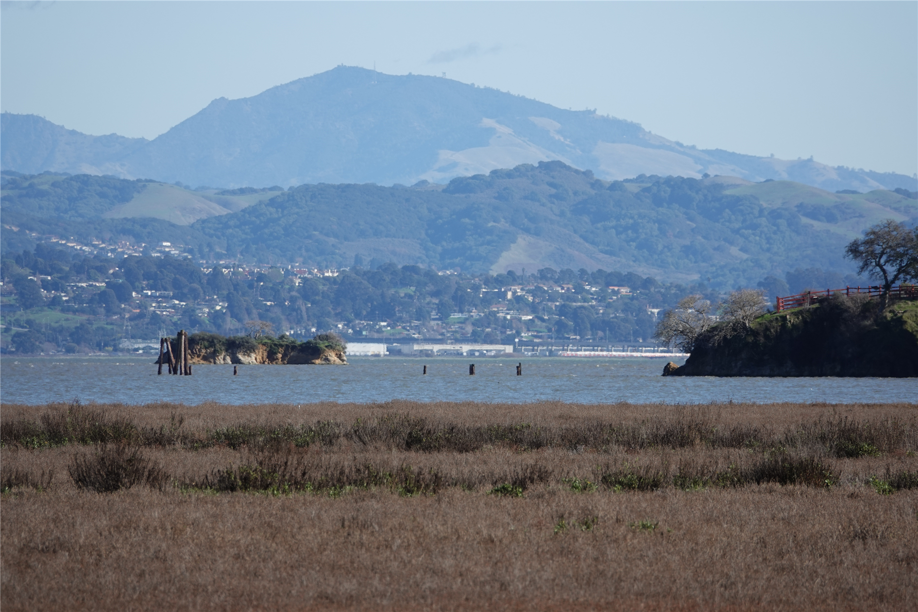
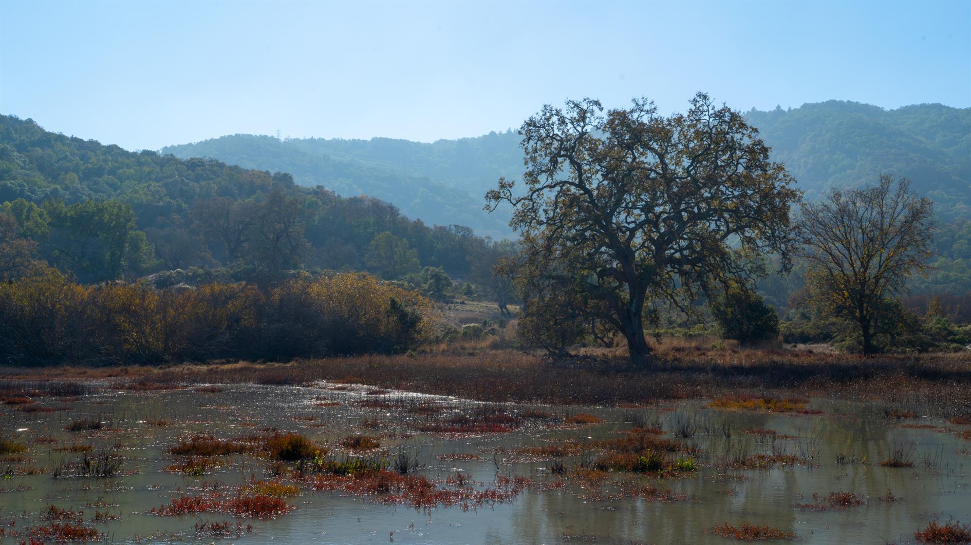
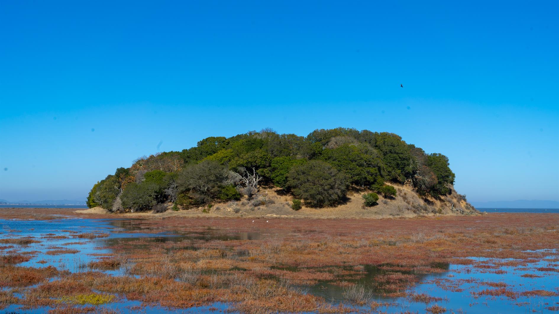
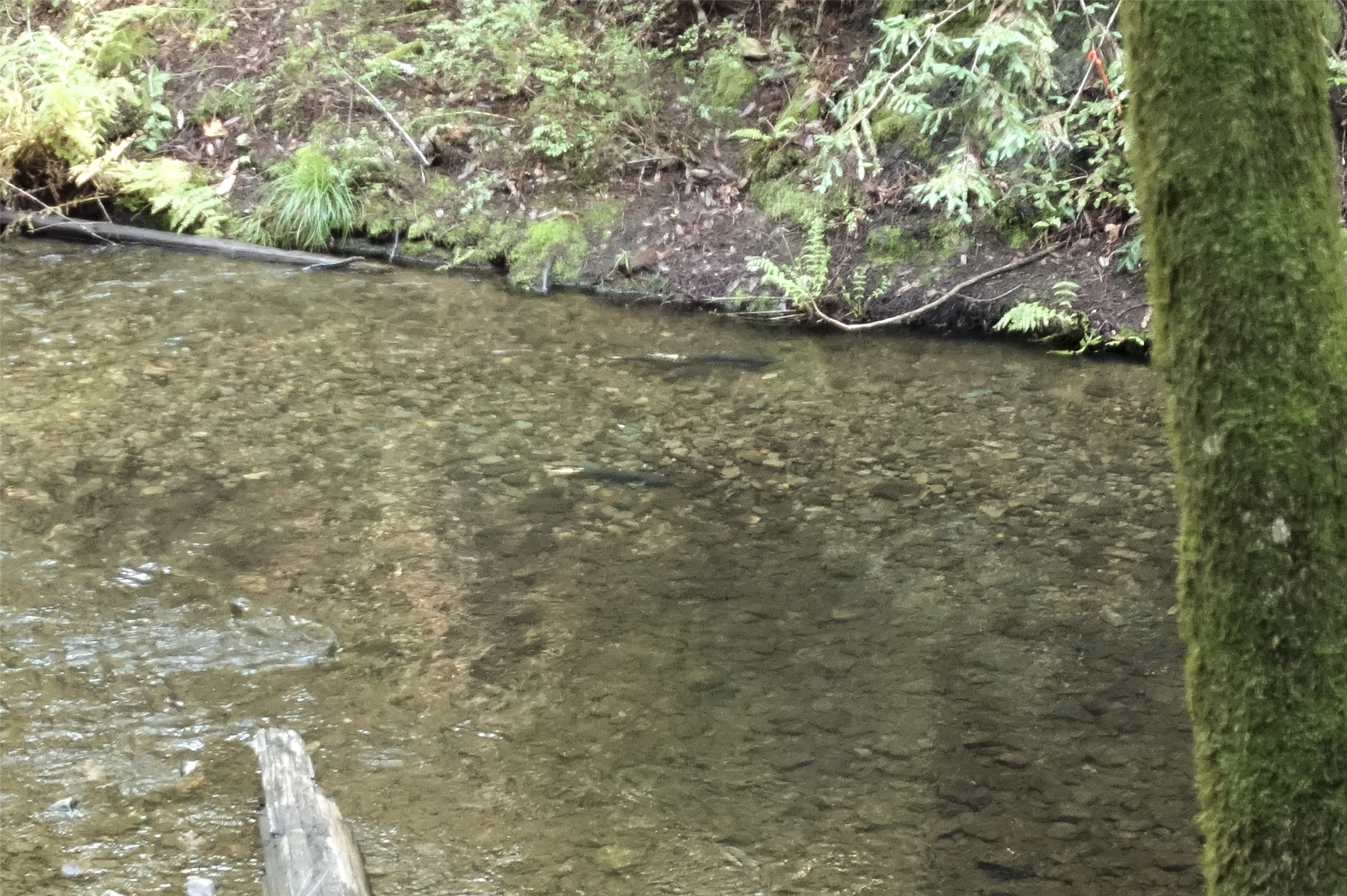
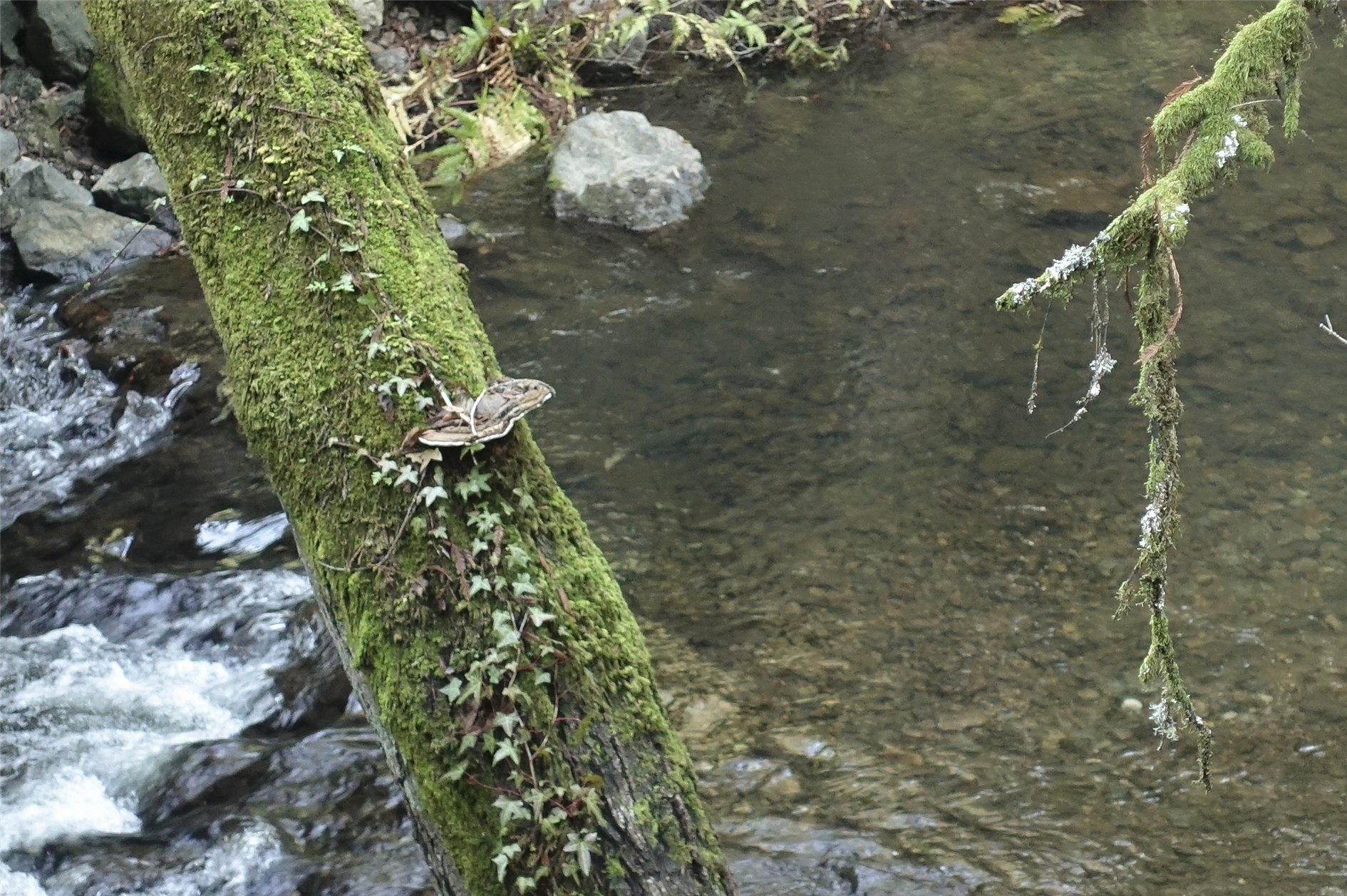
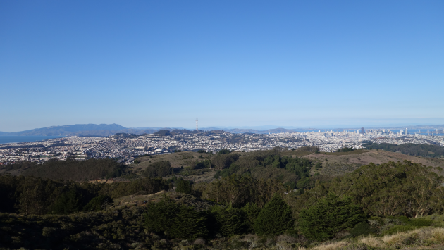
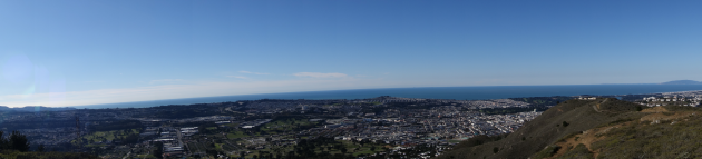
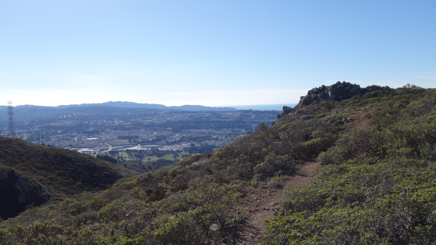
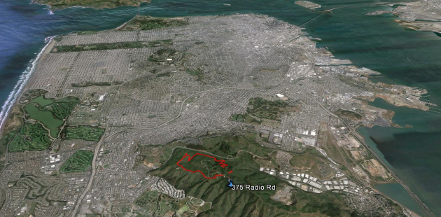
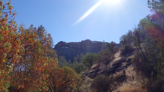
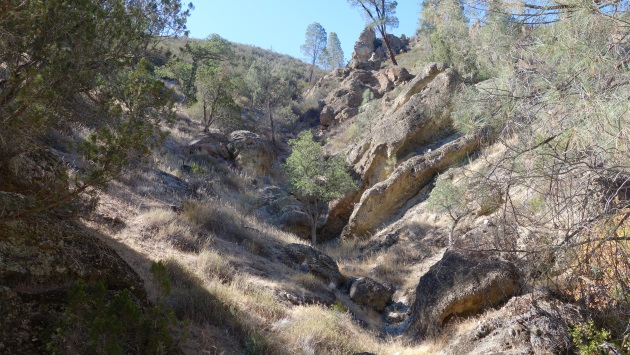
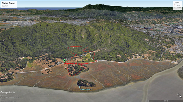
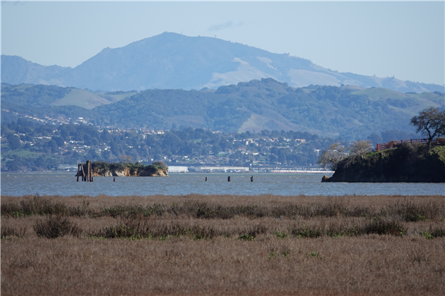
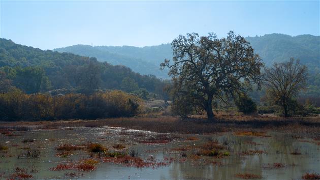
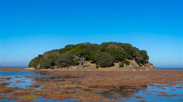
This is a combined hike of Back Ranch Meadows and Turtleback Point loop at China Camp State Park (around 2.7 miles total). Have never been to China Camp before, it's a beautiful park forty minutes north of San Francisco with plenty of interesting looking trails so will be back again soon.
(Hikes was my first blog, now folded into ITHCWY. Here's an old post about the blog. Since the last update I've ditched My Tracks because it got terrible and switched to Gaia GPS. I also moved from BlogEngine.net to my own custom blogging platform which is mostly better but hasn't worked well for my hike posts. I had to manually upload any KML files and also manually scrape out the coordinates for the start of the hike. Today I've automated this for my post by email system - I just need to attach a KML file to the email and it gets automatically uploaded to the blog and the start point is used to link to Google Maps, geocode the post and include an embedded map. Pretty cool. Hopefully this will inspire me to hike more and post more hikes as well.)
Hike starts at: 38.00733, -122.490322. View in Google Earth.
Updated 2022-11-24 14:14:
Add your comment...
Related Posts
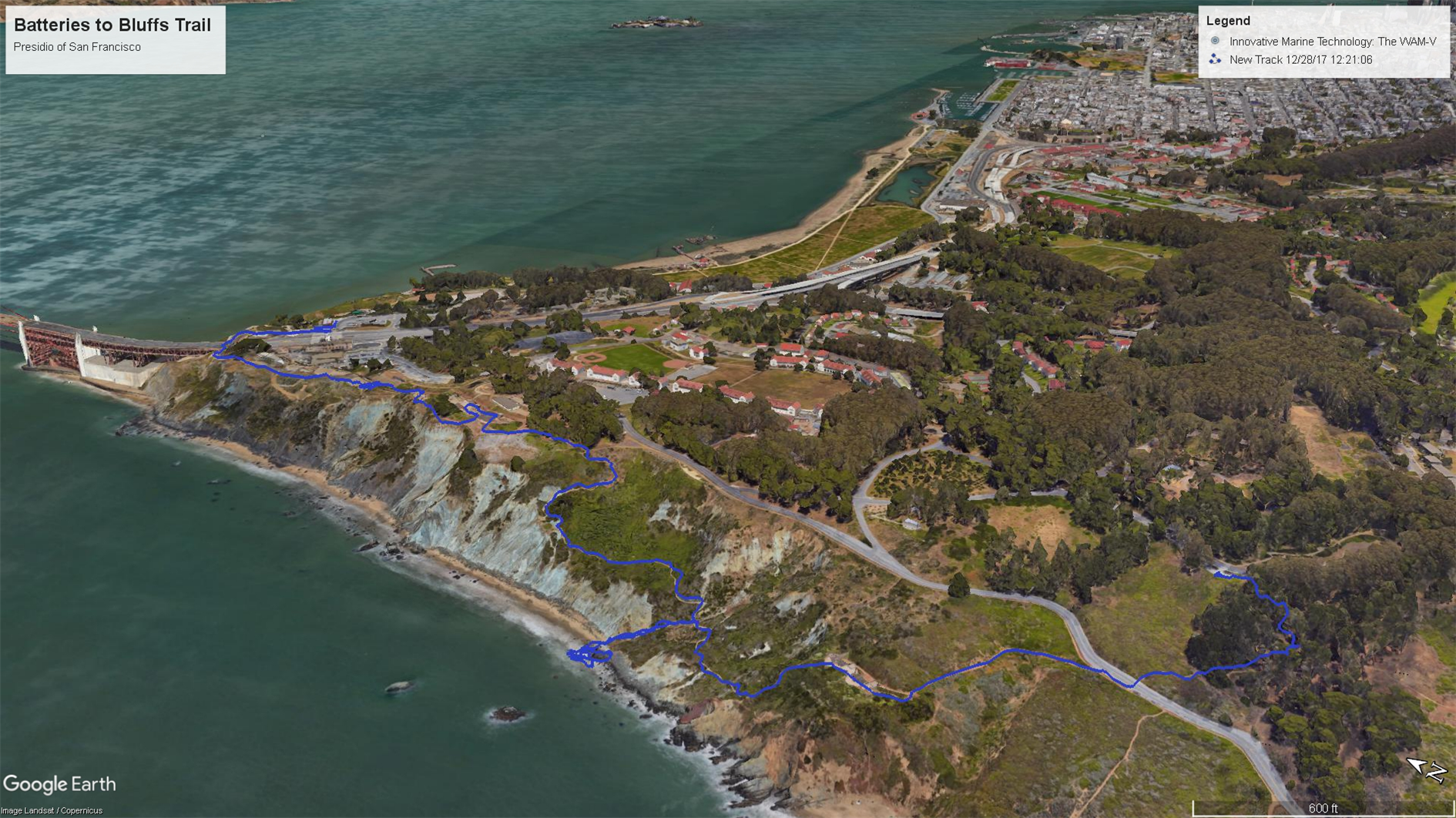
(Hike Map)
(Published to the Fediverse as:
China Camp State Park #hike #chinacamp #map Back Ranch Meadows and Turtleback Point loop hikes at China Camp State Park.
)