Coho Salmon in Lagunitas Creek
By Robert Ellison. Updated on

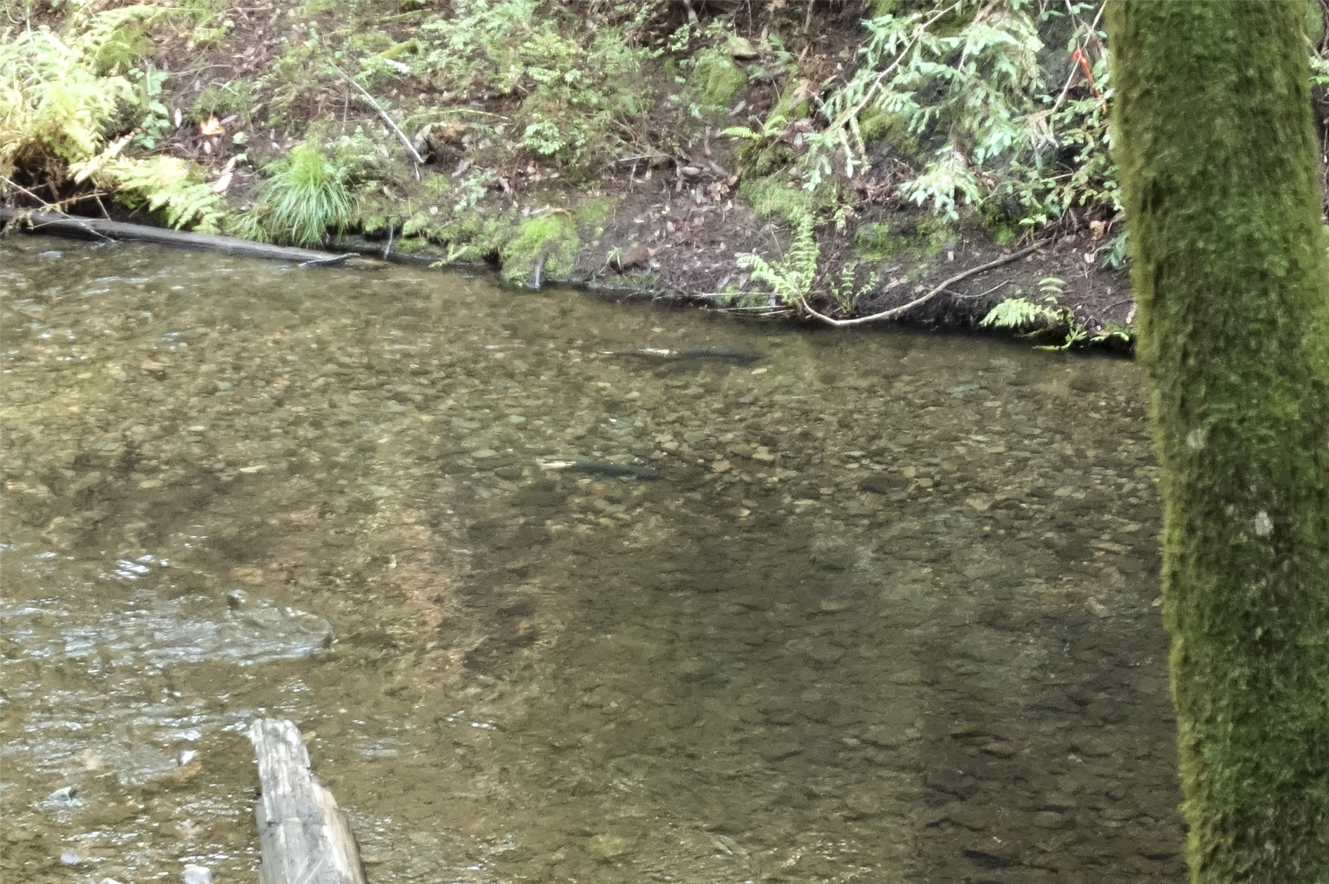
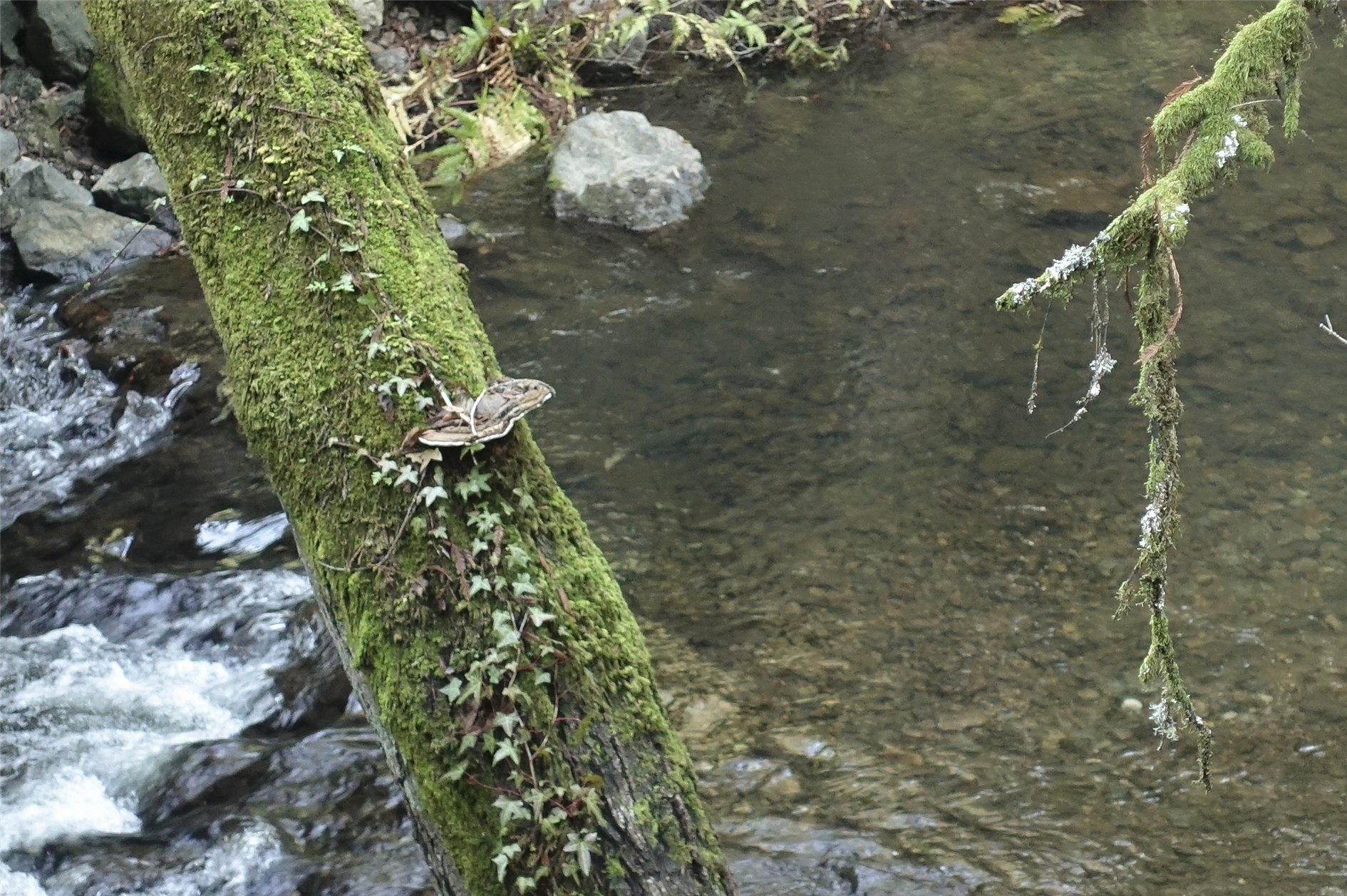
A five mile guided hike from Samuel P. Taylor State Park to the Leo T Cronin Fish Viewing Area along Lagunitas Creek and back again to spot spawning Coho Salmon. The hike was a program offered by Turtle Island and the specific route will vary based on where the salmon are currently active. Having done this once I think I could spot them again without assistance but it's well worth donating to get the full naturalist led experience.
Hike starts at 38.0244751,-122.7291936 (Google Earth).
Add Comment
All comments are moderated. Your email address is used to display a Gravatar and optionally for notification of new comments and to sign up for the newsletter.