Blue Marble 2 Animation
By Robert Ellison.
This animation shows twelve sections from the highest resolution version of NASA's Blue Marble Next Generation image for December 2004.
Can you guess all twelve locations? Answers below.
I use a lower resolution version of this image in Catfood Earth. The full version is 86,400 by 43,200, or 3.7 gigapixels. I've always wanted to do something with all this data, and decided to just follow some random paths and animate out the results. It's a little like watching the view from the ISS, if the ISS could randomly change location and direction.
The sequences in order are:
- Passing over Madagascar and then across central Africa.
- Along the Aleutian Islands and into Alaska.
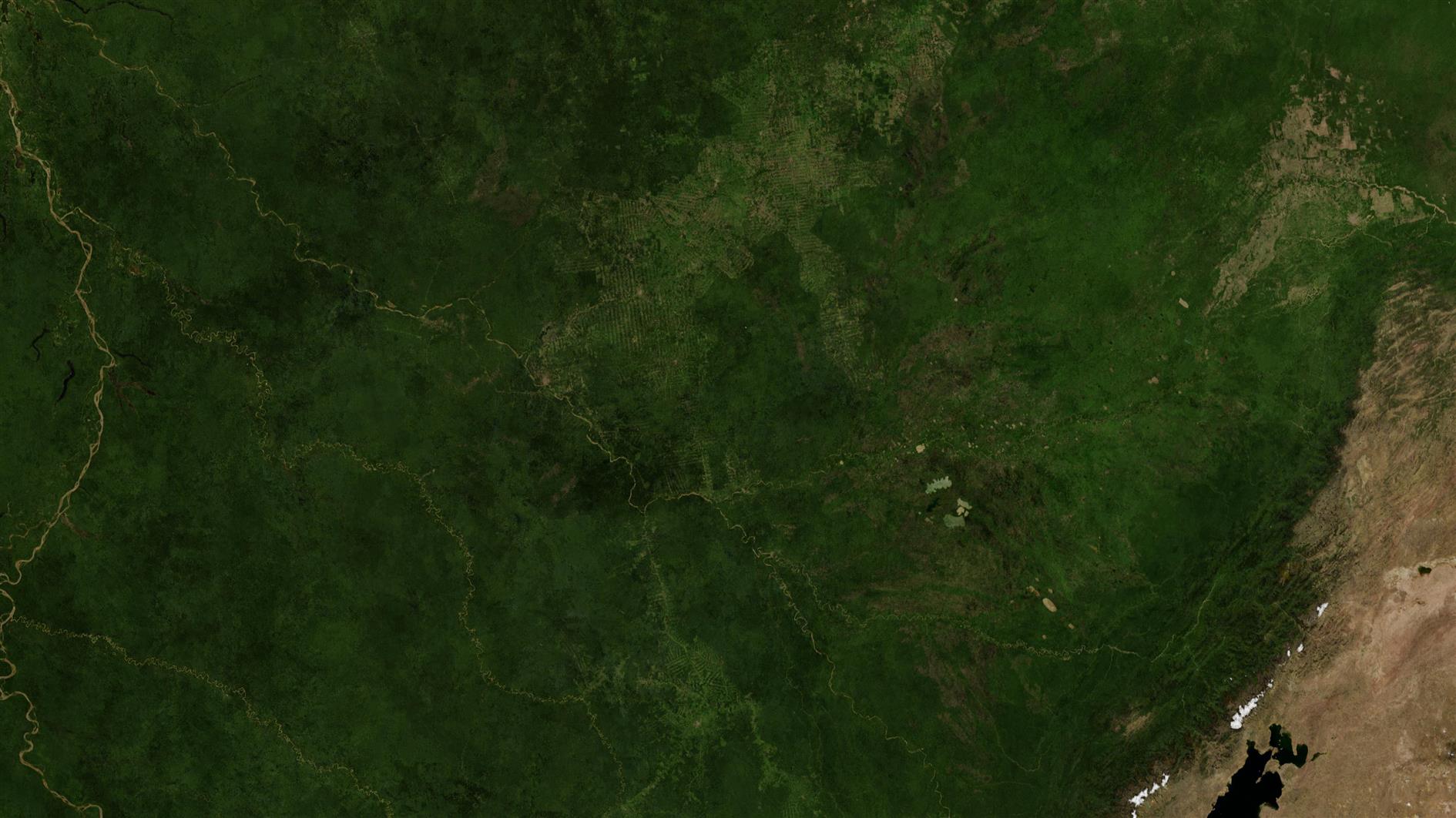
- Across South America and the Amazon.
- Up the Eastern seaboard of the US into Canada.
- Following the Nile through North Africa.
- From Siberia to Denmark.
- Up Baja California and then California USA.
- Philippines, Taiwan, China, Mongolia.
- Following the Caribbean to Florida.
- Across Australia.
- South South America, focused on Chile.
- Koreas, Japan.
Add Comment
All comments are moderated. Your email address is used to display a Gravatar and optionally for notification of new comments and to sign up for the newsletter.