Armstrong Redwoods
By Robert Ellison. Updated on
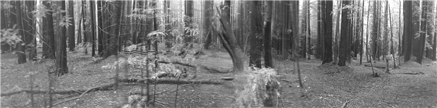
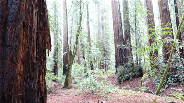
Coastal redwoods at Armstrong Redwoods State Natural Reserve. Parson Jones is over 310 feet high, Colonel Armstrong over 1,400 years old.
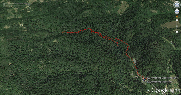
Hike starts at 38.532406, -123.002853 (Google Earth, Google Maps).
Add Comment
All comments are moderated. Your email address is used to display a Gravatar and optionally for notification of new comments and to sign up for the newsletter.