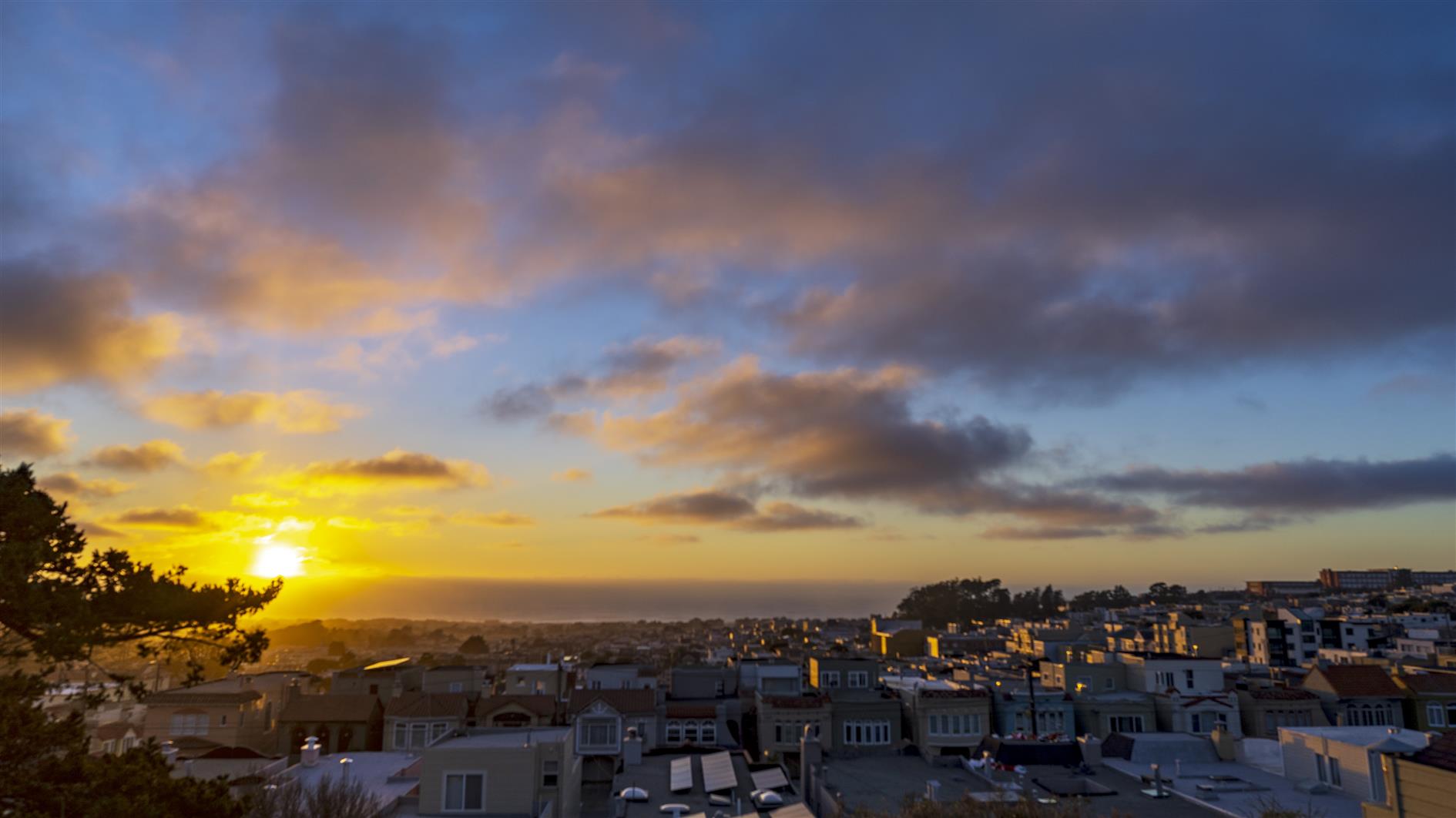
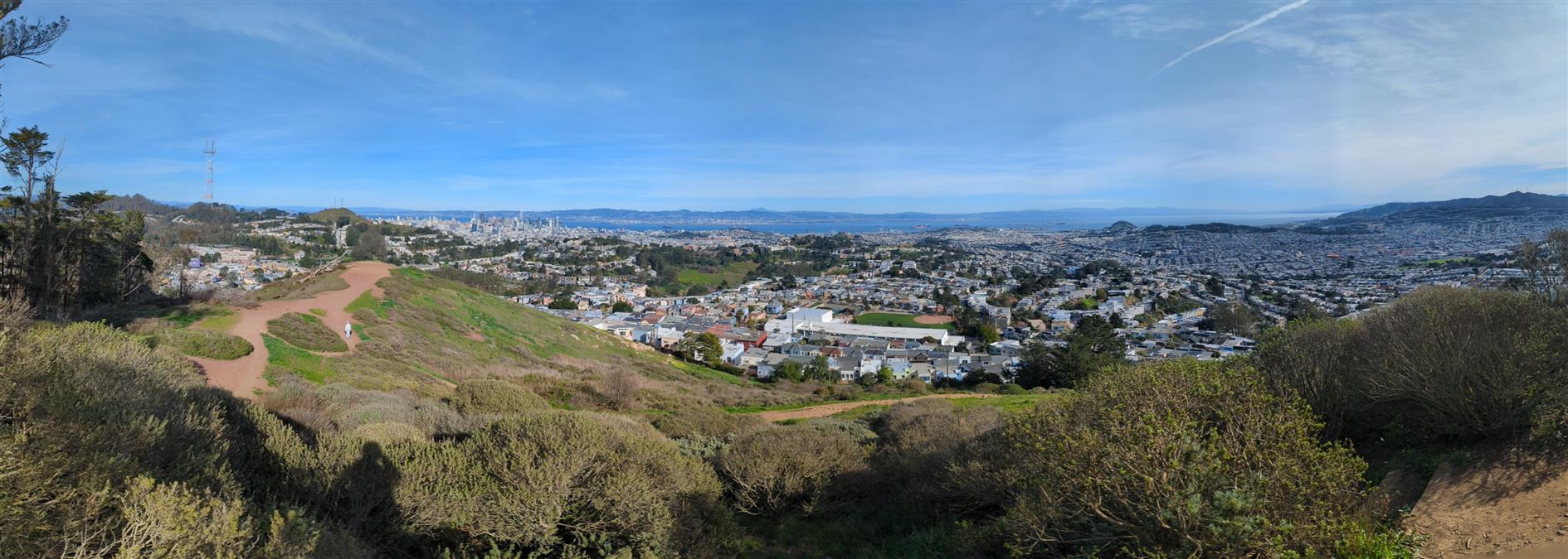
South from Golden Gate Heights Park, Sutro Tower from Twin Peaks, south from Golden Gate Heights again with more clouds and west from Grand View Park. Photo is a panorama of Golden Gate Park from Grand View.
I'm switching from the more ambitious specific weeks to a timelapse of the week (TLOTW) when I have one.
Sun halo over Lake Merced, a container ship entering the bay, the SkyStar ferris wheel in the Golden Gate Park, Farallon Islands, and some nice clouds over the Pacific. Photo is from Lake Merced.
Three different perspectives of downtown San Francisco. Shot from Twin Peaks (with a great view all the way down Market Street), Mount Davidson (the highest point in the city) and of course Grand View Park.
Continuing myseries of local coronavirus hikes, Mount Davidson is the highest peak in San Francisco and this three mile hike takes you there from West Portal. Take Ulloa to Kensington and then cross Portola on the footbridge. Juanita takes you to one of the Mount Davidson trails and up to the top. You can come back the same way, or follow Kensington all the way over to Taraval.
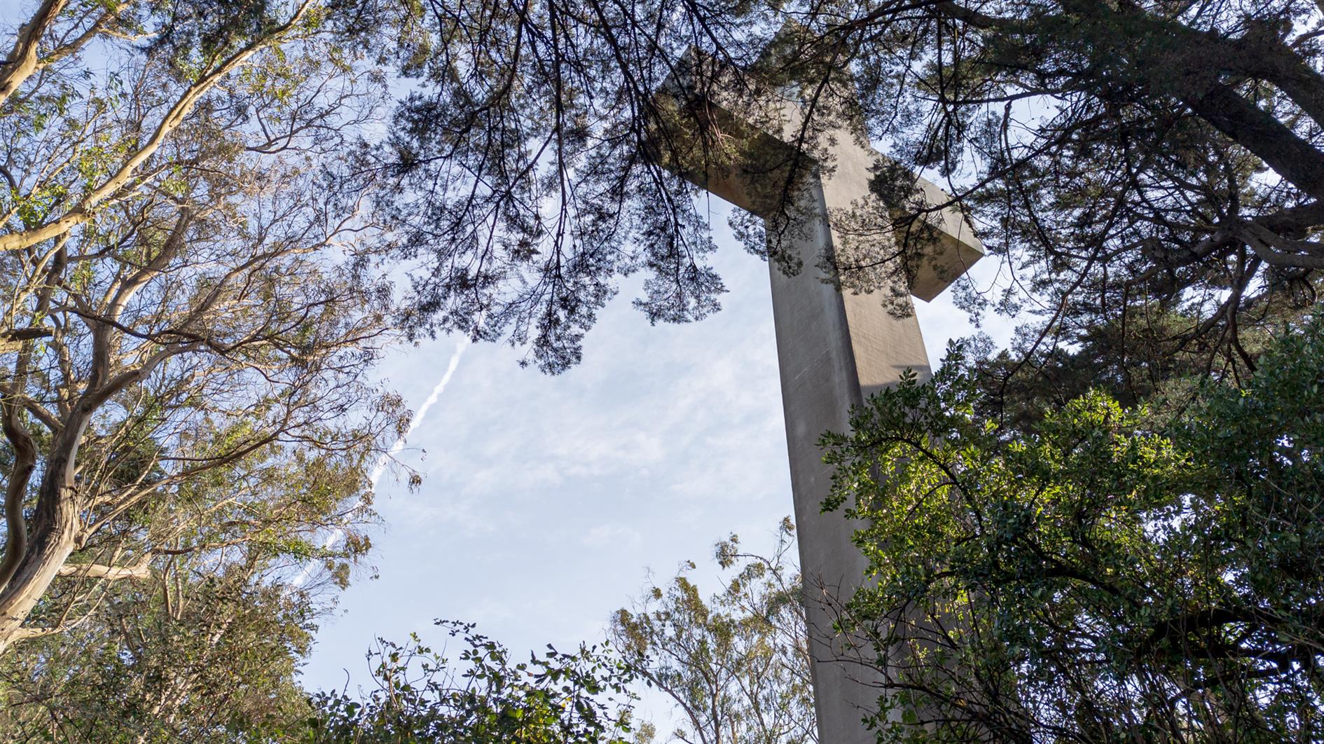
The cross at the top is a memorial to the Armenian Genocide and while most of Mount Davidson is a San Francisco park the area at the top is owned by the Council of Armenian-American Organizations of Northern California (due to a church/state separation lawsuit). It's a great spot to look (slightly) down on the Twin Peaks set who just think they've reached the top of San Francisco.
An experiment in creating a timelapse from a week of walking around San Francisco. Not sure how long I'll keep this up for and only managed four sequences this week: three different views from Grand View park (I go there a lot) and one of the penguin sculpture at Lake Merced.
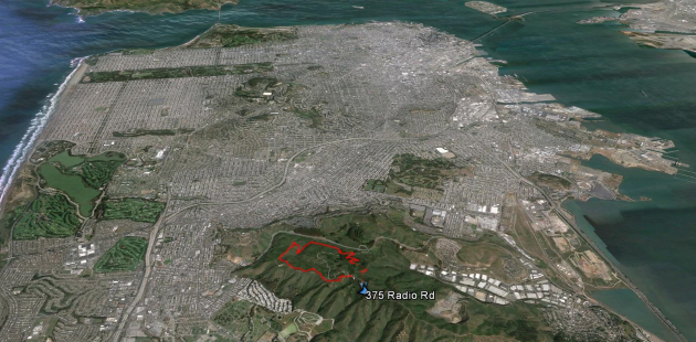
Summit Loop is a three mile hike around San Bruno Mountain, a 1,319 peak just south of San Francisco. For some reason, possibly a lack of desire to wrestle with bridges, it has become a family favorite for the first hike of the new year. Fantastic views and scenery at any time of the year, although it is especially good in the spring with all the wildflowers. I'm adding a fresh post on this hike as I noticed the GPS track is broken on the last one (I'll redirect that here) and I have a video of the hike to add as well (a little cloud focused, but it was that kind of day):
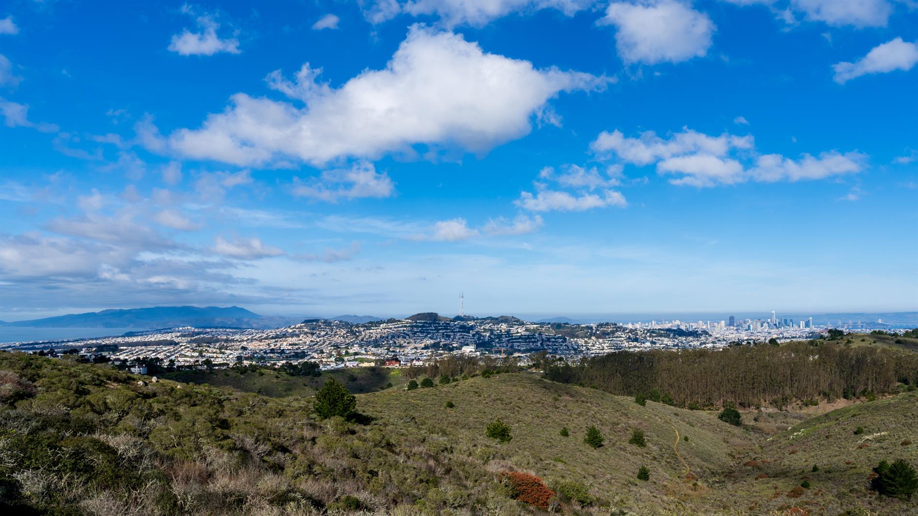
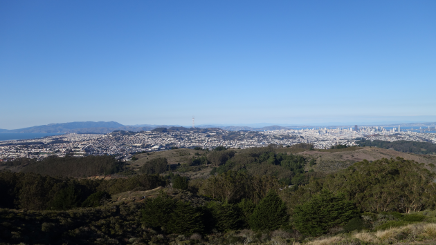
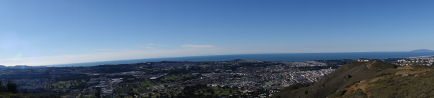
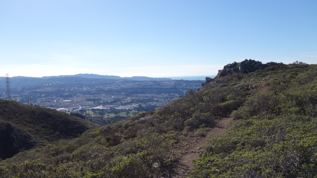
San Bruno Mountain State Park has outstanding views of San Francisco, the Pacific out to the Farallon Islands and much of the bay. We did the three mile summit loop (the wrong way round, San Bruno pros do it counter-clockwise).
Shot on a Sony A7C with the 20mm 1.8 G and a Ronin SC. This is the first time I've used the Ronin SC for timelapse and it sucks. Works great for video, can't pan 180 degrees in timelapse mode without introducing shake though. Processed using LTTimelapse, Lightroom, DaVinci Resolve (with a lot of stabilization to fix the Ronin issues) and Filmstro Pro. The finished product is 4K, 60fps. Filmed December 30, 2021 (I usually do something on New Year's Eve but the clouds looked more promising the day before this year).