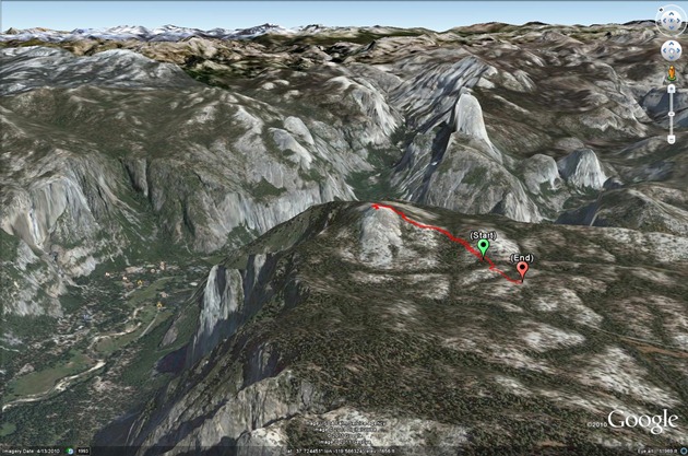
Sentinel Dome
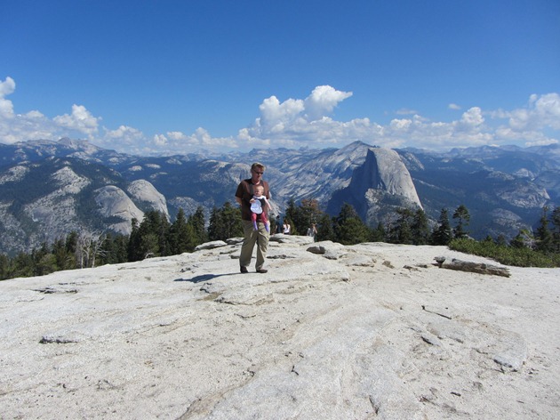
Slightly easier than Half Dome, and when you get to the top you get to look at Half Dome. What more could you ask for!
(View in Google Earth)
Hike starts at: 37.715495, -119.584577.
Related Posts
You Might Also Like
(Hike Map)
Slightly easier than Half Dome, and when you get to the top you get to look at Half Dome. What more could you ask for!
(View in Google Earth)
Hike starts at: 37.715495, -119.584577.
(Hike Map)
Devil's Slide Trail — Devil's Slide Trail used to be one of the most scenic stretches of Highway 1. It was hard to enjoy though while you were trying not to crash and die. Now it's a leisurely stroll with magnificent views and well worth a visit. Hike...
Round Top loop at Sibley Volcanic Regional Preserve — Round Top is a remnant of a 10 million year old volcano, tipped over by tectonic activity. It's pretty high at 1,763 feet. Unfortunately the peak is...
Presidio Loop Hike — A pleasant loop hike in the Presidio of San Francisco. This is a dog friendly version, many trails are closed to dogs in the spring due to coyote pupping season. It starts at Mountain Lake, winds down the Ecology Trail to the...
Accessing Printer Press ESC to cancel
Export Google Fit Daily Steps, Weight and Distance to a Google Sheet
Enable GZIP compression for Amazon S3 hosted website in CloudFront
What is the San Francisco Rent Board Fee?
International Date Line Longitude, Latitude Coordinates
Monitor page index status with Google Sheets, Apps Script and the Google Search Console API
Is it safe to open securedoc.html (Cisco Registered Envelope)?
Do free will skeptics make their own point by being so dumb?
Add Comment
All comments are moderated. Your email address is used to display a Gravatar and optionally for notification of new comments and to sign up for the newsletter.