I Thought He Came With You (ITHCWY) is Robert Ellison's blog.
Bolinas Point Loop
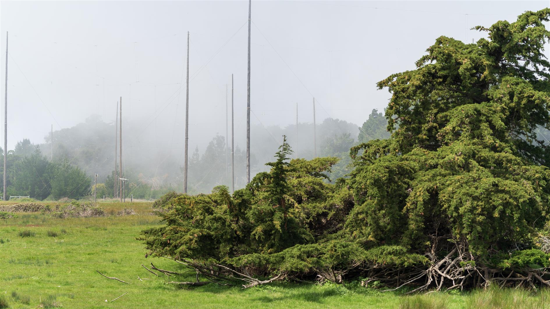
Short and fairly flat loop above Bolinas in California. Plenty of cows. Comes back past Commonweal which is a retreat center. The area used to be a Marconi Telegraph transmitting station and there are a lot of poles and concrete anchor points dating from that.
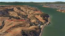
Hike starts at: 37.918301, -122.720442. View in Google Earth.
Related Posts
- Bull Valley Trail to Port Costa
- Point Reyes - Tomales Point
- Point Reyes - Divide Meadow Loop
- Lands End
- Presidio Loop Hike
(Hike Map)
(Published to the Fediverse as: Bolinas Point Loop #hike #bolinas #commonweal #map 2.5 mile loop trail in Bolinas, California )
Add Comment
All comments are moderated. Your email address is used to display a Gravatar and optionally for notification of new comments and to sign up for the newsletter.