I Thought He Came With You (ITHCWY) is Robert Ellison's blog.
Buena Vista Park
Updated on Wednesday, May 19, 2021
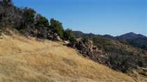
Buena Vista Park is a small but dramatic park above Haight-Ashbury.
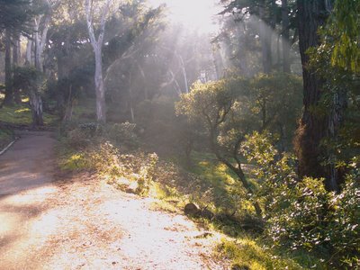
I usually start at Buena Vista Ave and Upper Terrace. Walk up the large path which meanders to a small lawn at the top of the park.
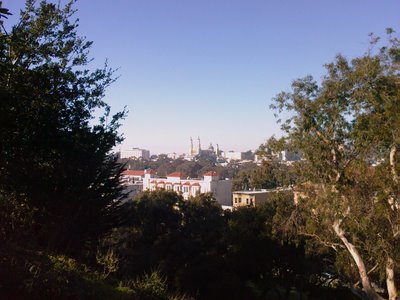
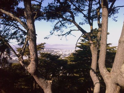
From the lawn walk down through the maze of paths. It's a densely wooded park but every time you walk round a corner you're treated to a different city view peeking through the trees.
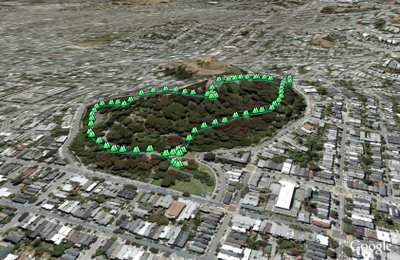
(0.96 miles, total elevation gain 576 feet, 24 minutes, average 2.40 mph, view in Google Earth, view in Google Maps)
Hike starts at: 37.766248, -122.442906.
Related Posts
- Glen Park Canyon
- Twin Peaks
- Golden Gate Park - Stow Lake, Strawberry Hill and Museum Concourse
- Golden Gate Park
- Bald Mountain, Vista and Meadow Trails Loop (Sugarloaf Ridge State Park)
(Hike Map)
(Published to the Fediverse as: Buena Vista Park #hike #sfdogwalk Short walk around Buena Vista Park in San Francisco, California. )
Add Comment
All comments are moderated. Your email address is used to display a Gravatar and optionally for notification of new comments and to sign up for the newsletter.