Twin Peaks Loop
I have previously described Twin Peaks as not much of a hike, which is absolutely true if you drive there. When I first moved to San Francisco I lived in Noe Valley and used to cycle up to Twin Peaks and then try to get home without pedalling. For many years after that I'd take visitors up to the top and developed a somewhat weird tradition of taking each new child there soon after they were released from the hospital.
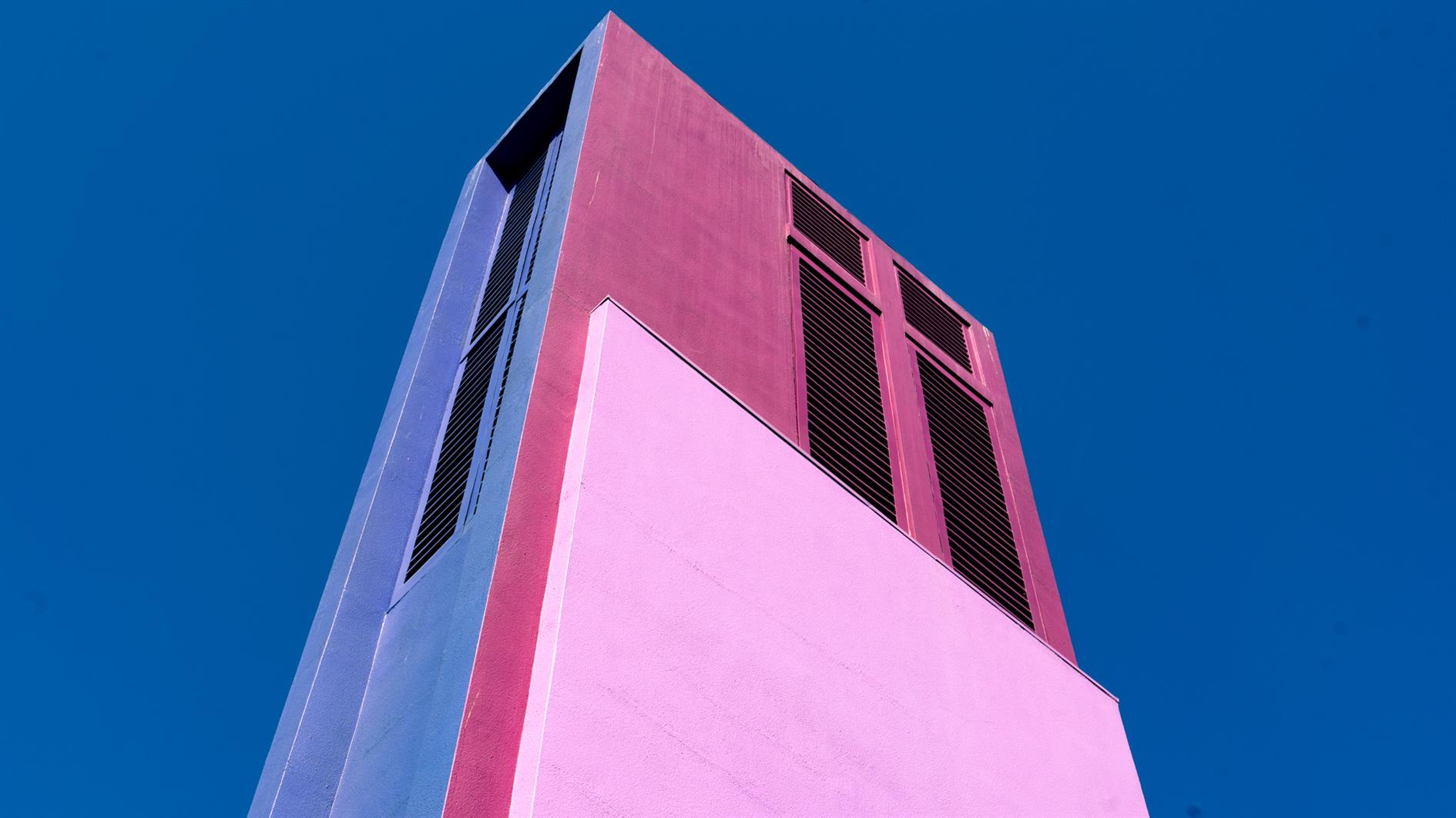
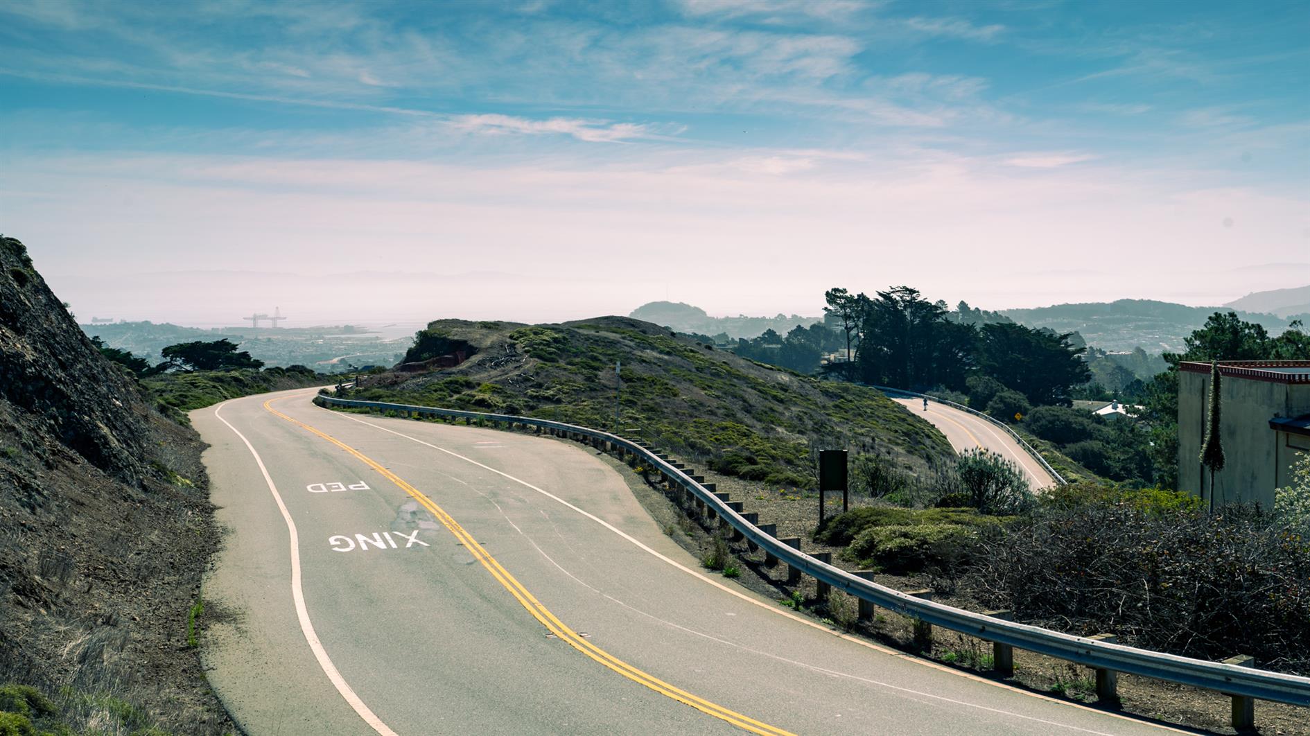
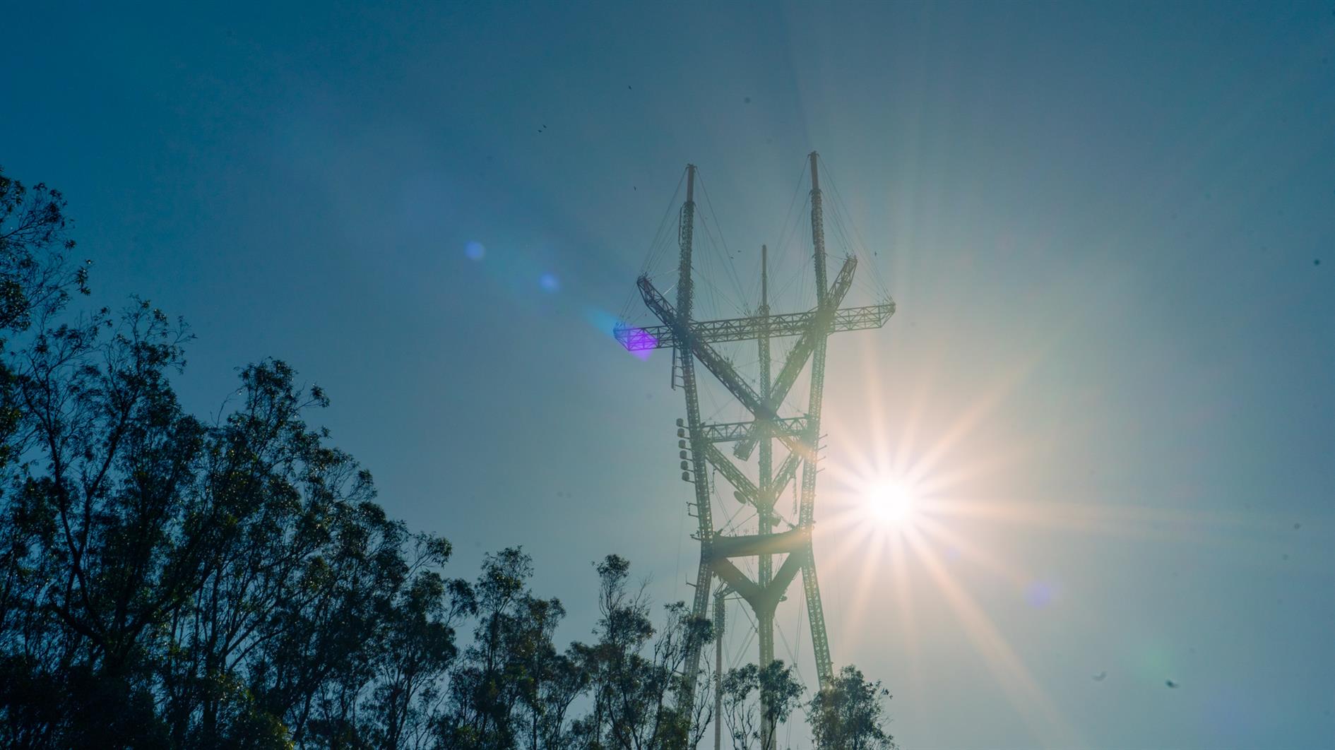
Post lockdown I'm up there most weeks. This is my five mile loop which starts heading up Ulloa from West Portal to Portola. Portola breaks the climb briefly as you pass the striking herchurch and controversial Twin Peaks gas station before heading up Twin Peaks Boulevard to the 922 foot summits. For a while Twin Peaks Boulevard was entirely closed to traffic (although you really had to keep an eye out for high speed skateboarders). Unfortunately it's now open all the way to Christmas Tree Point. Head down the north side to Clarendon and follow this all the way down to Forest Hill and then back to West Portal.
(Previously: Twin Peaks 360 4K, Twin Peaks, San Francisco from Twin Peaks)
Hike starts at: 37.741879, -122.471354. View in Google Earth.
Updated 2023-08-10 03:02:
Hyperlapse of this hike from August 9, 2023.
Related Posts
(Hike Map)
(Published to the Fediverse as: Twin Peaks Loop #hike #sanfrancisco #twinpeaks #coronavirus #map #video #hikevid #sfdogwalk Five mile loop hike from West Portal up Ulloa and Portola to the 922 foot summits of Twin Peaks and then back down Clarendon and Forest Hill. )
Add Comment
All comments are moderated. Your email address is used to display a Gravatar and optionally for notification of new comments and to sign up for the newsletter.