Remnants in the Sunset
During the pandemic induced lockdowns last year we started hiking locally using random trails generated by Routeshuffle. Sometimes these were repetitive death marches along indistinguishable avenues (my kids would say 100% of the time). A few have emerged as favorites that I walk regularly and I'm going to add these to the ITHCWY hike collection.
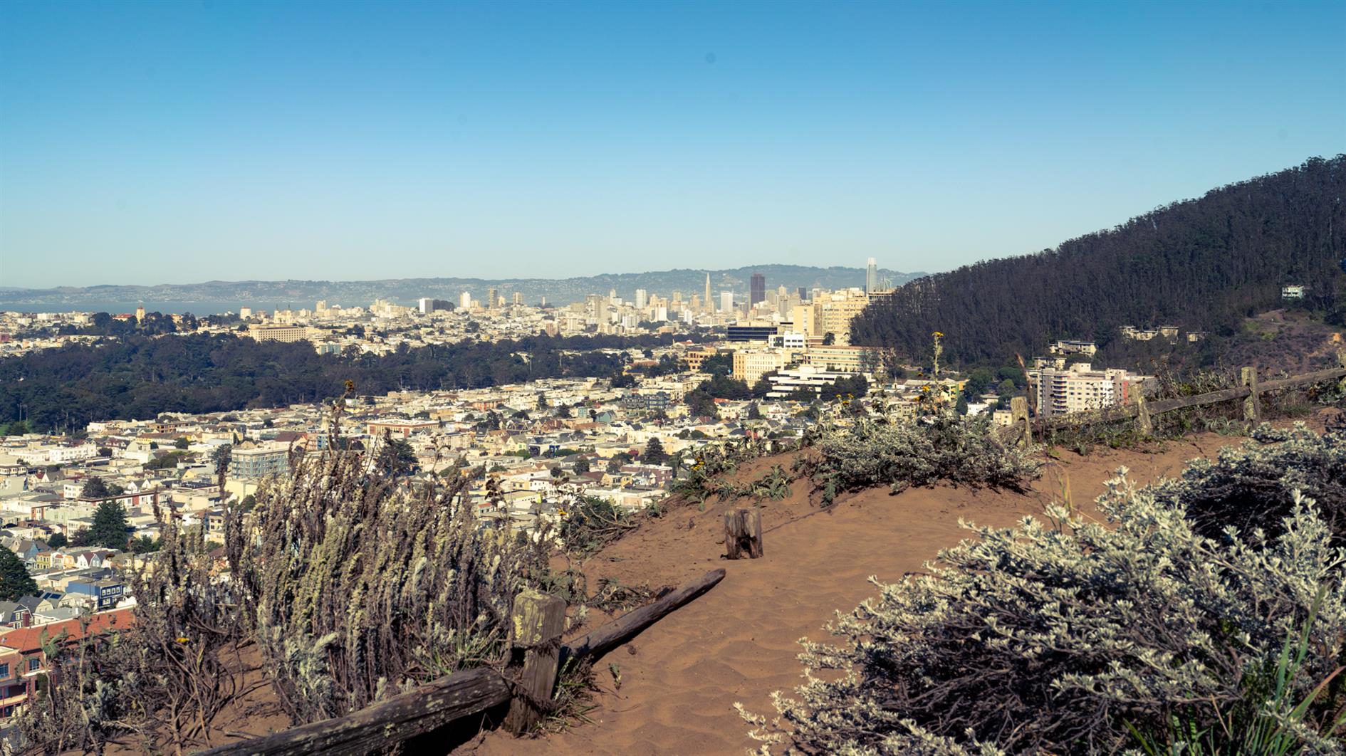
Remnants in the Sunset is a three mile loop named for the islands of rock and dunes visited along the way. The west of San Francisco used to be all dunes and these parks are now all that remains of that original ecosystem.
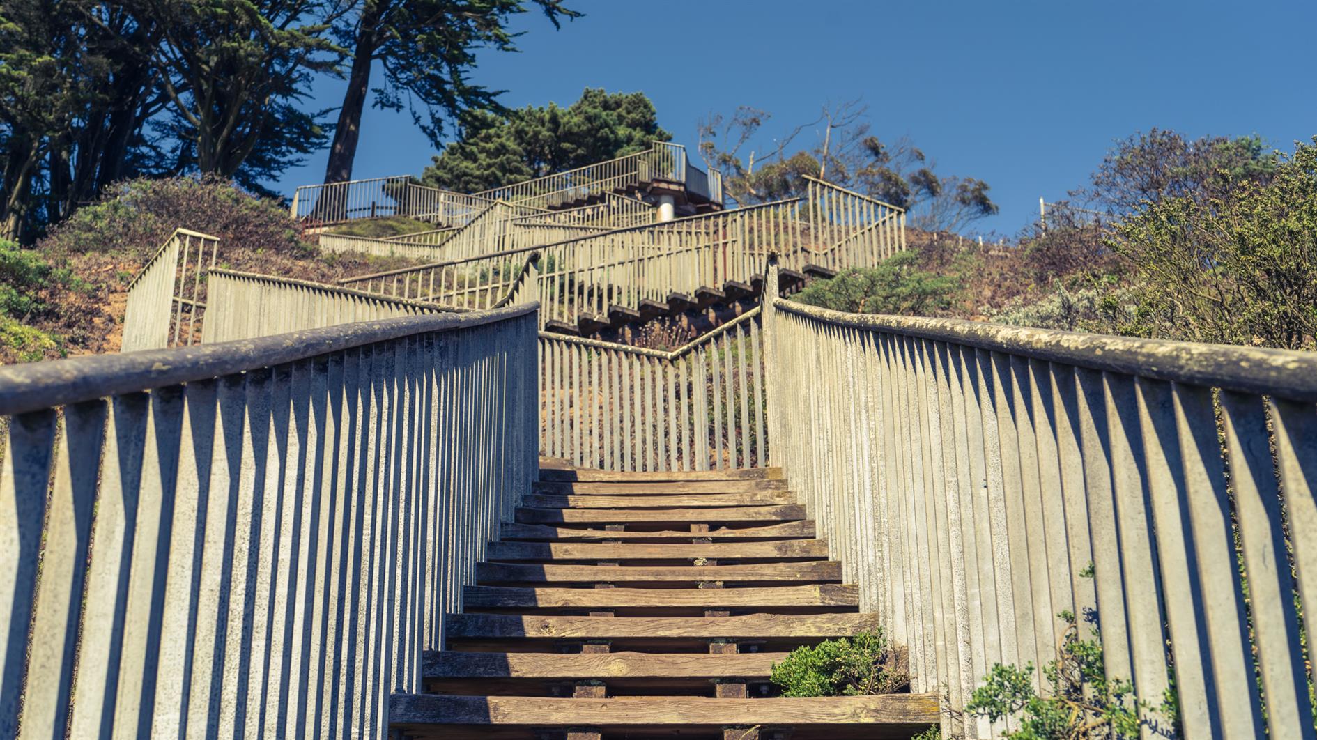
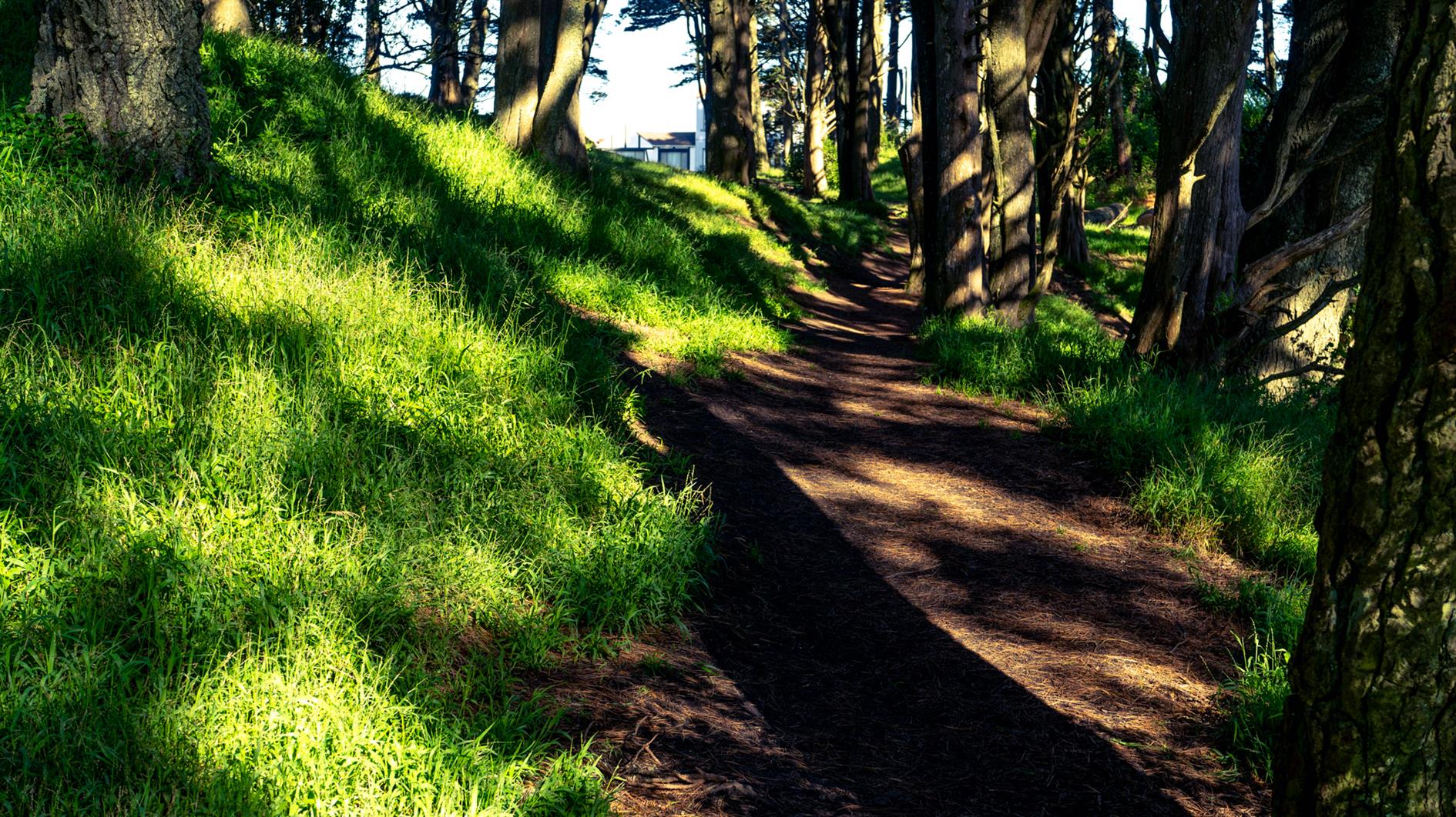
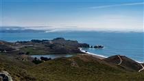
Walk up 15th Avenue from Taraval to Grandview Park. Go up the steps, admire the view and then down the other side and follow 14th Avenue to Rocky Outcrop Park. This is a wind tunnel with houses on one side and cliffs on the other. Then head up to Golden Gate Heights Park and Larsen Peak at 755 feet. The return leg down Pacheco and Magellan provides views of Hawk Hill which has some unofficial trails but is closed to the public.
(Previously: Grand View of Fog, Post Storm Sunset)
Hike starts at: 37.741905, -122.471336. View in Google Earth.
Related Posts
- Hill 88
- Twin Peaks Loop
- Post Storm Sunset
- Lands End
- Golden Gate Park - Stow Lake, Strawberry Hill and Museum Concourse
(Hike Map)
(Published to the Fediverse as: Remnants in the Sunset #hike #sanfrancisco #coronavirus #map Three mile loop hike visiting the Remnants in the Sunset: Grandview Park, Rocky Outcrop Park, Golden Gate Heights Park and Hawk Hill in San Francisco, California. )
Add Comment
All comments are moderated. Your email address is used to display a Gravatar and optionally for notification of new comments and to sign up for the newsletter.