I Thought He Came With You (ITHCWY) is Robert Ellison's blog.
McCloud River Trail (Three Waterfalls)
Updated on Thursday, July 22, 2021
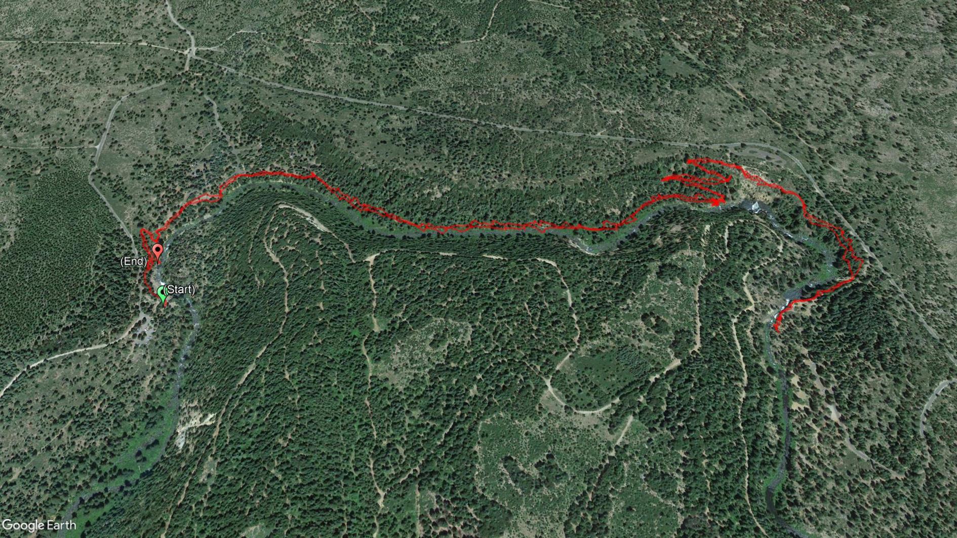
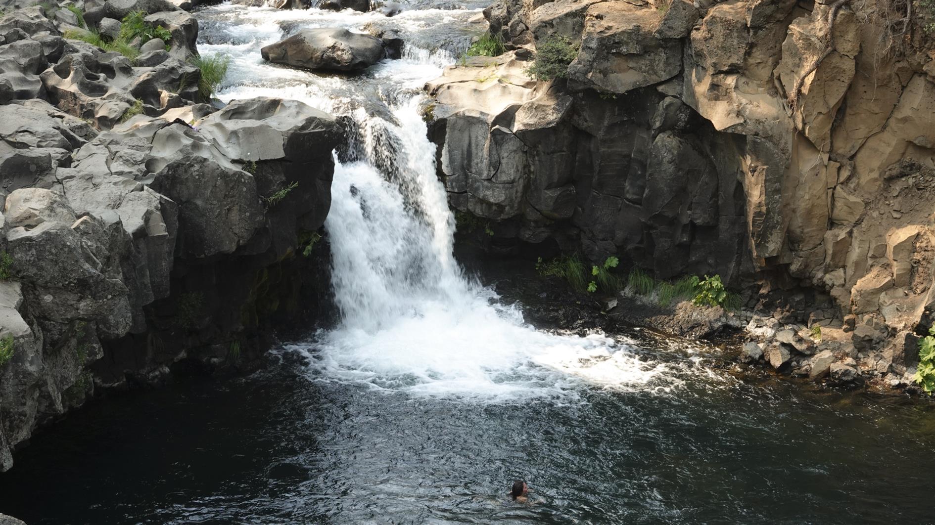
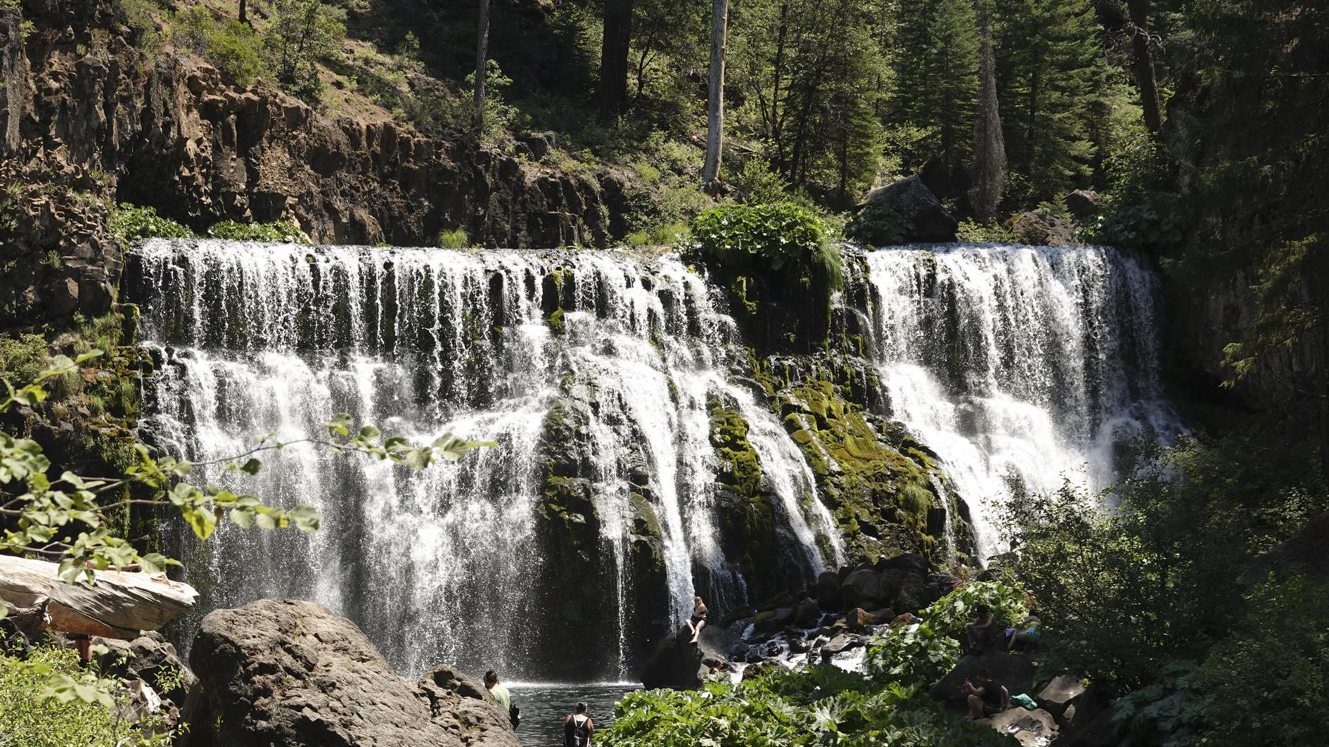
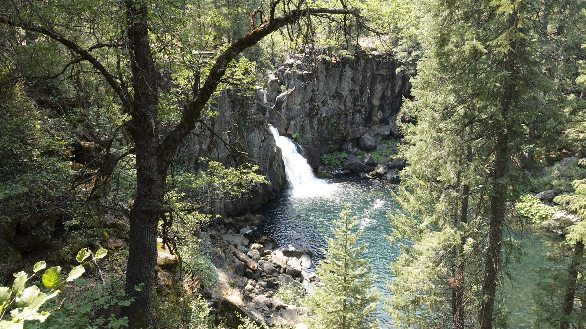
A four mile out and back hike taking in three waterfalls along the McCloud River near Mt Shasta.
Hike starts at: 41.240749, -122.024747. View in Google Earth.
Updated 2021-07-22 12:45:
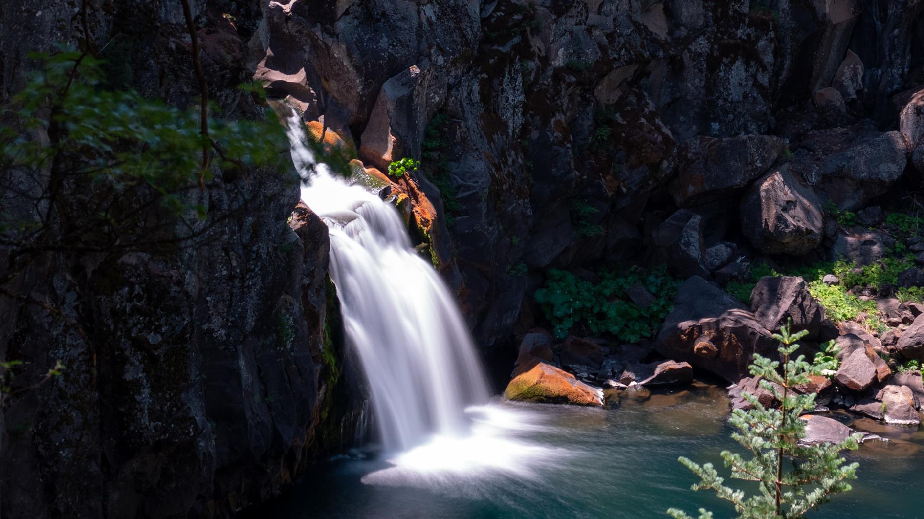
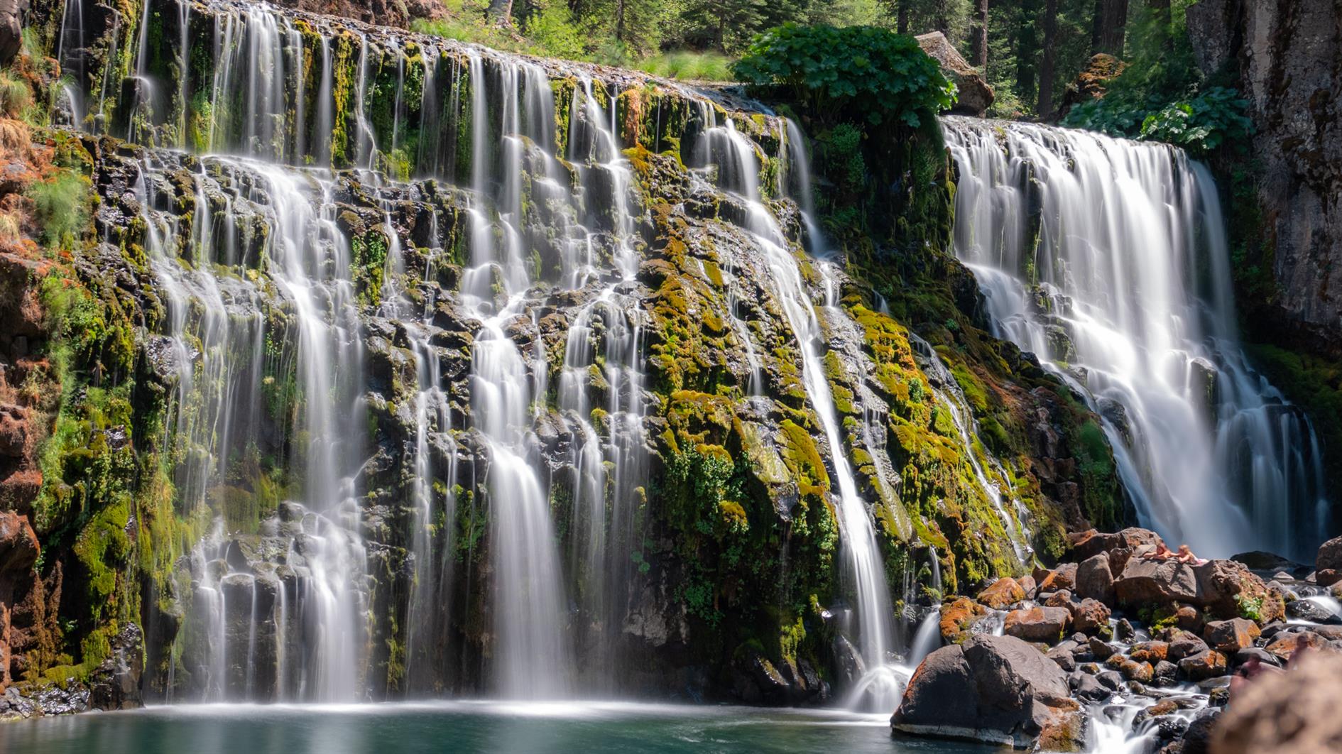
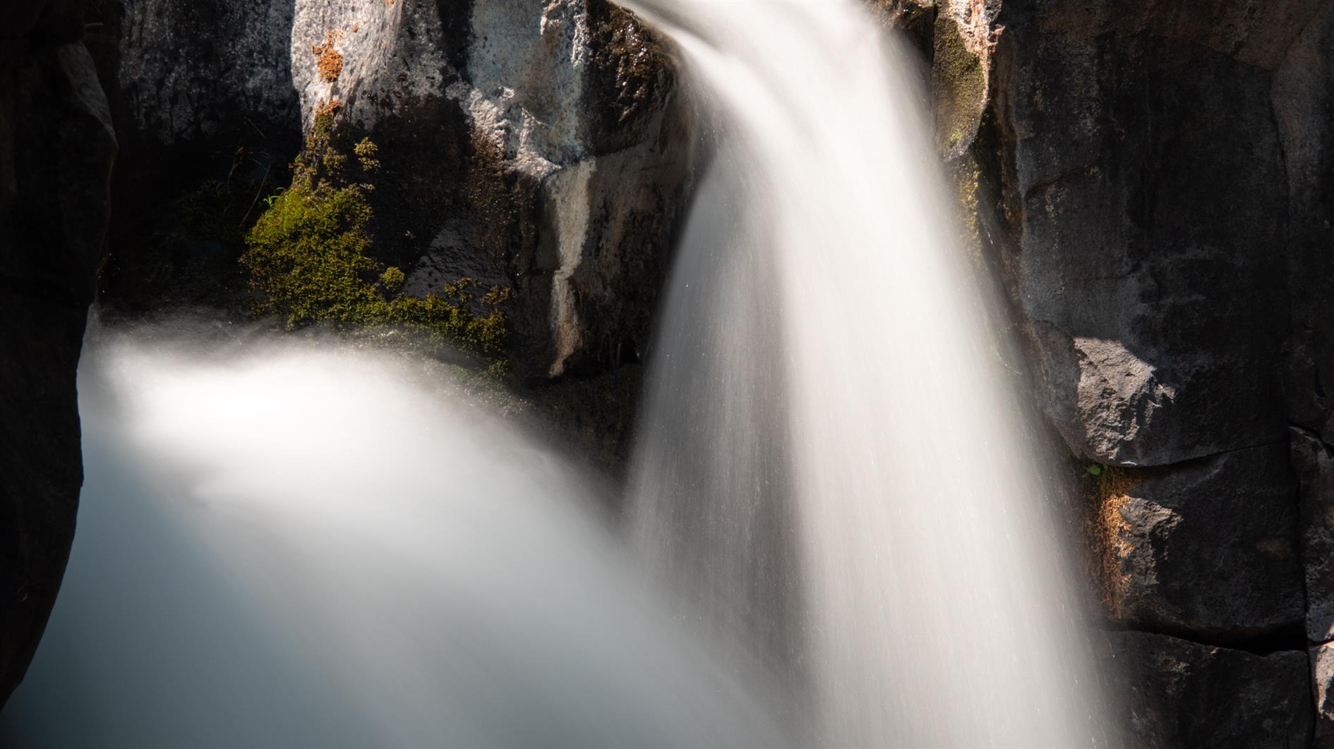
Did the same hike again this year - it's worth repeating. Here are some long exposure shots of the three waterfalls.
Related Posts
You Might Also Like
(Hike Map)
(Published to the Fediverse as: McCloud River Trail (Three Waterfalls) #hike #map #waterfall #shasta 4 mile out and back hike taking in three waterfalls on the McCloud River Trail near Mount Shasta in California. )
Add Comment
All comments are moderated. Your email address is used to display a Gravatar and optionally for notification of new comments and to sign up for the newsletter.