I Thought He Came With You (ITHCWY) is Robert Ellison's blog.
Angel Island Perimeter Road
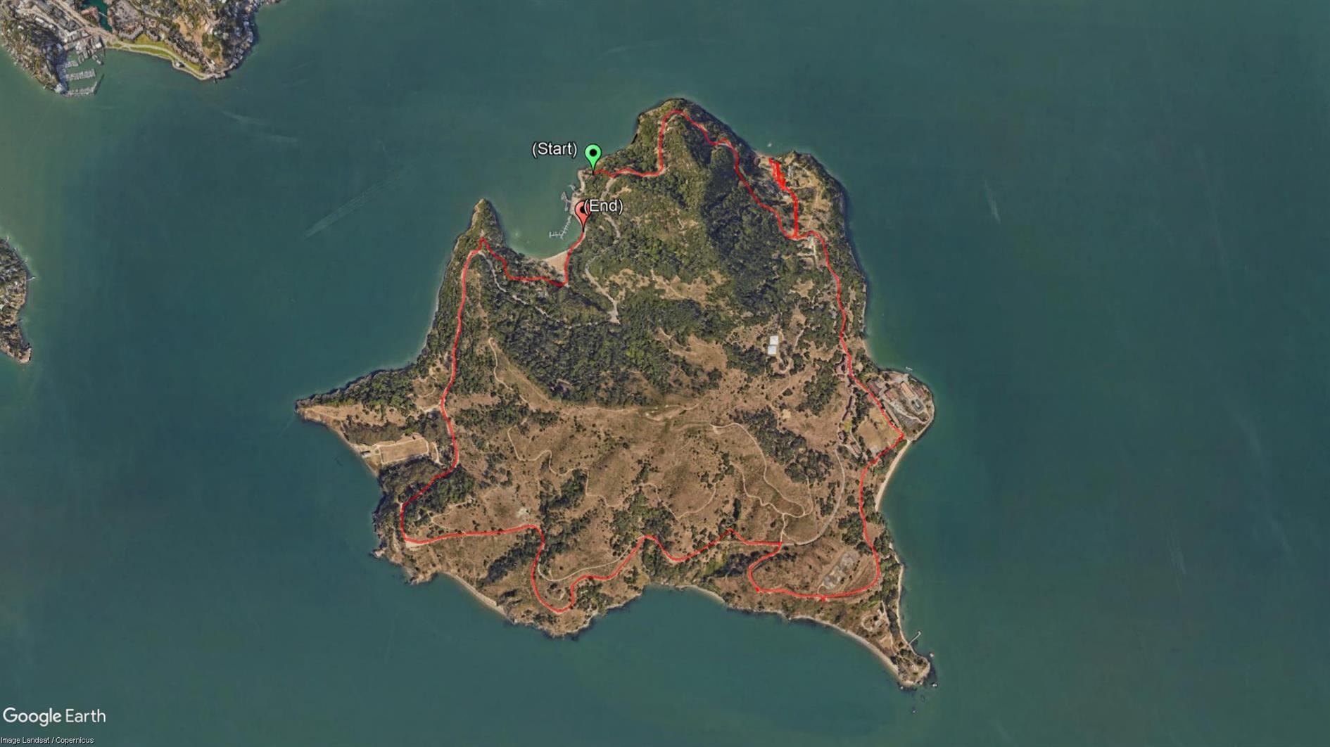
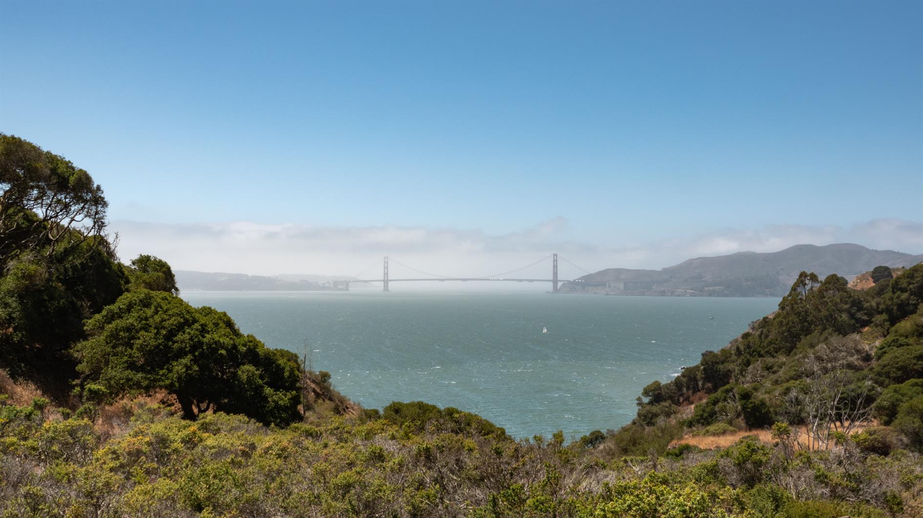
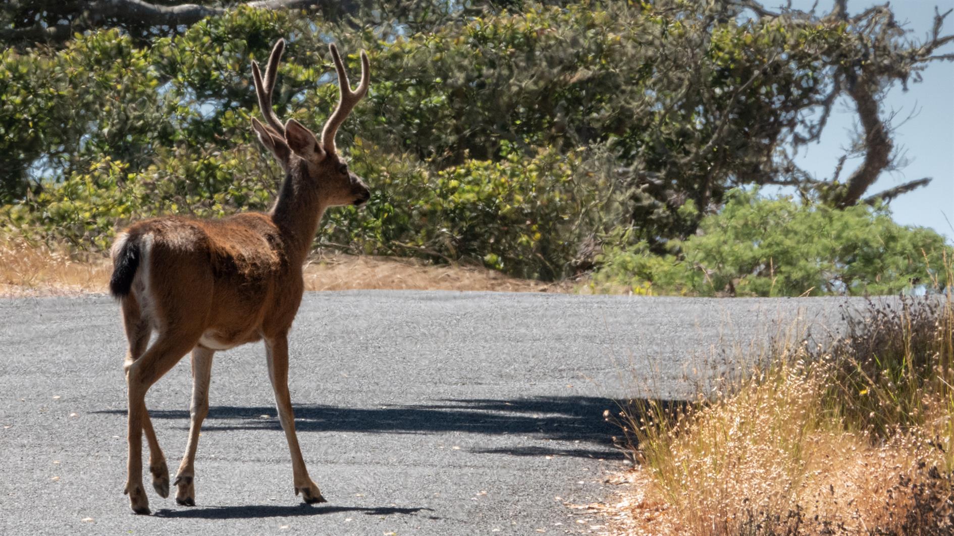
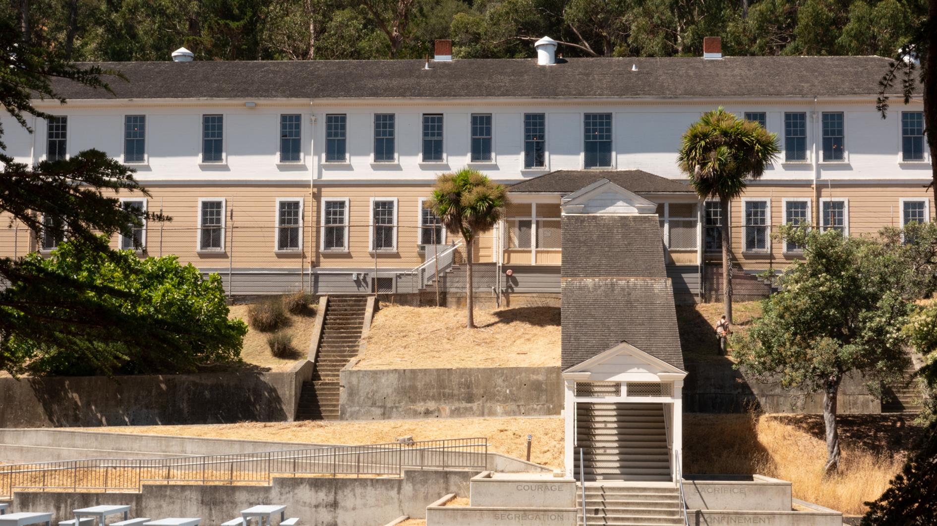
Easy and spectacular hike around the perimeter road of Angel Island. Around five and half miles, although gets a bit longer if you add a detour or two, and there is something interesting around every corner. Just make sure you don't miss the last ferry back.
(Previously: Mt. Livermore on Angel Island)
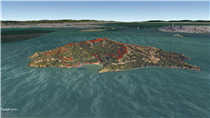
Hike starts at: 37.869421, -122.433996. View in Google Earth.
Related Posts
(Hike Map)
(Published to the Fediverse as: Angel Island Perimeter Road #hike #angelisland #map 5.5 mile hike around the perimeter road of Angel Island State Park in California. )
Add Comment
All comments are moderated. Your email address is used to display a Gravatar and optionally for notification of new comments and to sign up for the newsletter.